
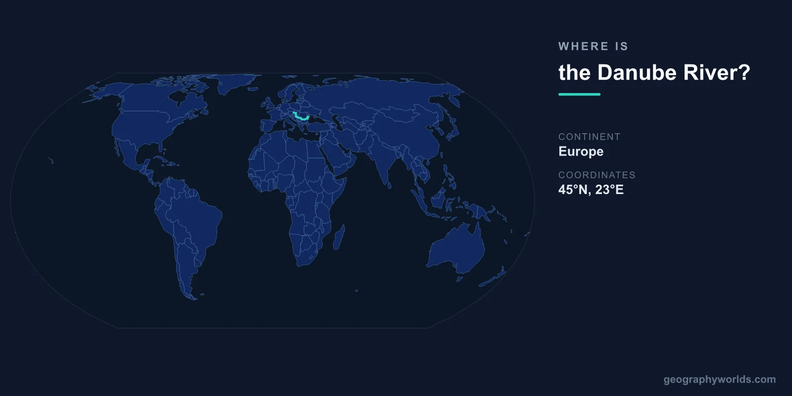
The Danube River is located in central and southeastern Europe, flowing from its source in Germany's Black Forest at approximately 48°N, 8°E to its delta on the Black Sea coast of Romania at approximately 45°N, 29°E. At 2,850 kilometers, it is Europe's second-longest river after the Volga and the only major European river that flows from west to east.
Introduction
The Danube flows through or forms the border of 10 countries — more than any other river in the world. Four national capitals sit on its banks: Vienna, Bratislava, Budapest, and Belgrade. Its basin drains parts of 19 countries, making it one of the most internationally significant river systems on Earth.

Exact Location & Coordinates
- Source: ~48°N, 8°E (Black Forest, Germany)
- Mouth: ~45°N, 29°E (Danube Delta, Romania)
- Flow Direction: West to east across Europe
- Length: 2,850 km
On a world map, the Danube traces a path from central Europe to the Black Sea. Find Germany on a European map, then trace eastward — the river flows through Austria and Hungary before turning south through the Balkans and finally east to the Romanian coast. The Danube's general course follows a gentle S-curve across the continent.
The river's traditional source is at Donaueschingen in Germany's Black Forest, where two small streams merge. From there, it flows northeast through Bavaria, turns east through Austria and Hungary, flows south between Serbia and Romania, and finally turns east again to reach the Black Sea through its famous delta.
Surrounding Countries & Borders
- Germany: Source and upper Danube
- Austria: Through Vienna
- Slovakia: Through Bratislava
- Hungary: Through Budapest
- Croatia, Serbia: Middle Danube, through Belgrade
- Romania, Bulgaria: Lower Danube (border river)
- Moldova, Ukraine: Danube Delta area
The ten countries the Danube flows through or borders are: Germany, Austria, Slovakia, Hungary, Croatia, Serbia, Romania, Bulgaria, Moldova, and Ukraine. This makes international cooperation on the river essential, managed through the International Commission for the Protection of the Danube River.
The four capital cities on the Danube — Vienna, Bratislava, Budapest, and Belgrade — create a corridor of European culture, history, and commerce. River cruises connecting these cities are among the most popular in Europe, passing through landscapes ranging from Alpine gorges to the Great Hungarian Plain.
Geographic Context
- Part Of: Black Sea drainage basin
- Drainage Basin: 801,463 km² across 19 countries
- Major Tributaries: Inn, Drava, Sava, Tisza, Morava
The Danube's drainage basin covers 801,463 square kilometers — about 10 percent of continental Europe. It includes parts of 19 countries, making it the most international river basin in the world. The river receives major tributaries from the Alps (Inn, Drava, Sava), the Carpathians (Tisza), and the Balkans.
The Danube passes through several dramatic landscape features. The Iron Gates gorge on the Romania-Serbia border, where the river cuts through the Carpathian Mountains, is one of Europe's most spectacular river gorges. The river also crosses the vast Pannonian (Hungarian) Plain and forms a 5,165-square-kilometer delta in Romania — Europe's best-preserved large delta.
Physical Characteristics
- Length: 2,850 km
- Drainage Basin: 801,463 km²
- Discharge at Mouth: ~6,500 m³/s
- Danube Delta: 5,165 km² (UNESCO World Heritage Site)
The Danube's width varies enormously along its course, from just a few meters at its source to over 1.5 kilometers in places along the lower river. Its depth can exceed 30 meters at the Iron Gates gorge. The river's flow roughly doubles with each major tributary, growing from a modest stream in Germany to a powerful river at its mouth.
The Danube Delta in Romania is one of Europe's most important wetland ecosystems and a UNESCO World Heritage Site. It supports over 300 species of birds and 45 species of freshwater fish. The delta is Europe's largest and best-preserved, covering 5,165 square kilometers of channels, marshes, and lakes.
Why It Matters
- Transportation: Major commercial waterway linking Europe
- Culture: "Blue Danube" waltz, 4 capital cities on its banks
- Ecology: Danube Delta is Europe's premier wetland
The Danube has been a major trade route since Roman times, when it formed much of the empire's northern frontier. Today, it remains an important commercial waterway, with barges carrying goods between the North Sea (via the Rhine-Main-Danube Canal) and the Black Sea. This connection makes it possible to ship by water from Rotterdam to Constanta.
Johann Strauss II's "Blue Danube" waltz is one of the most famous pieces of classical music ever written, cementing the river's place in European cultural identity. The Danube has inspired artists, poets, and composers for centuries and continues to symbolize the interconnection of European nations and cultures.
Key Facts
- The Danube flows from ~48°N, 8°E in Germany to ~45°N, 29°E on the Black Sea.
- At 2,850 km, it is Europe's second-longest river and flows through 10 countries.
- Four national capitals sit on its banks: Vienna, Bratislava, Budapest, and Belgrade.
- Its drainage basin covers 801,463 km² across 19 countries.
- The Danube Delta in Romania is a UNESCO World Heritage Site covering 5,165 km².
Fun Facts
- The Danube touches or flows through more countries (10) than any other river in the world.
- Johann Strauss II's "Blue Danube" waltz is Austria's unofficial national anthem.
- The Rhine-Main-Danube Canal creates a continuous waterway from the North Sea to the Black Sea.
- The Danube Delta hosts over 300 bird species — more than any other European wetland.
Final Thoughts
The Danube River flows 2,850 kilometers from Germany to the Black Sea, passing through 10 countries and four capital cities. Located between approximately 48°N, 8°E and 45°N, 29°E, it is the most international river in the world and a defining geographic feature of Europe. From Alpine gorges to the biodiversity-rich delta, the Danube is an essential waterway on the European and world map.
Test Your Knowledge!
Think you know where things are on the map? Test your skills!
Play Geography Games →