
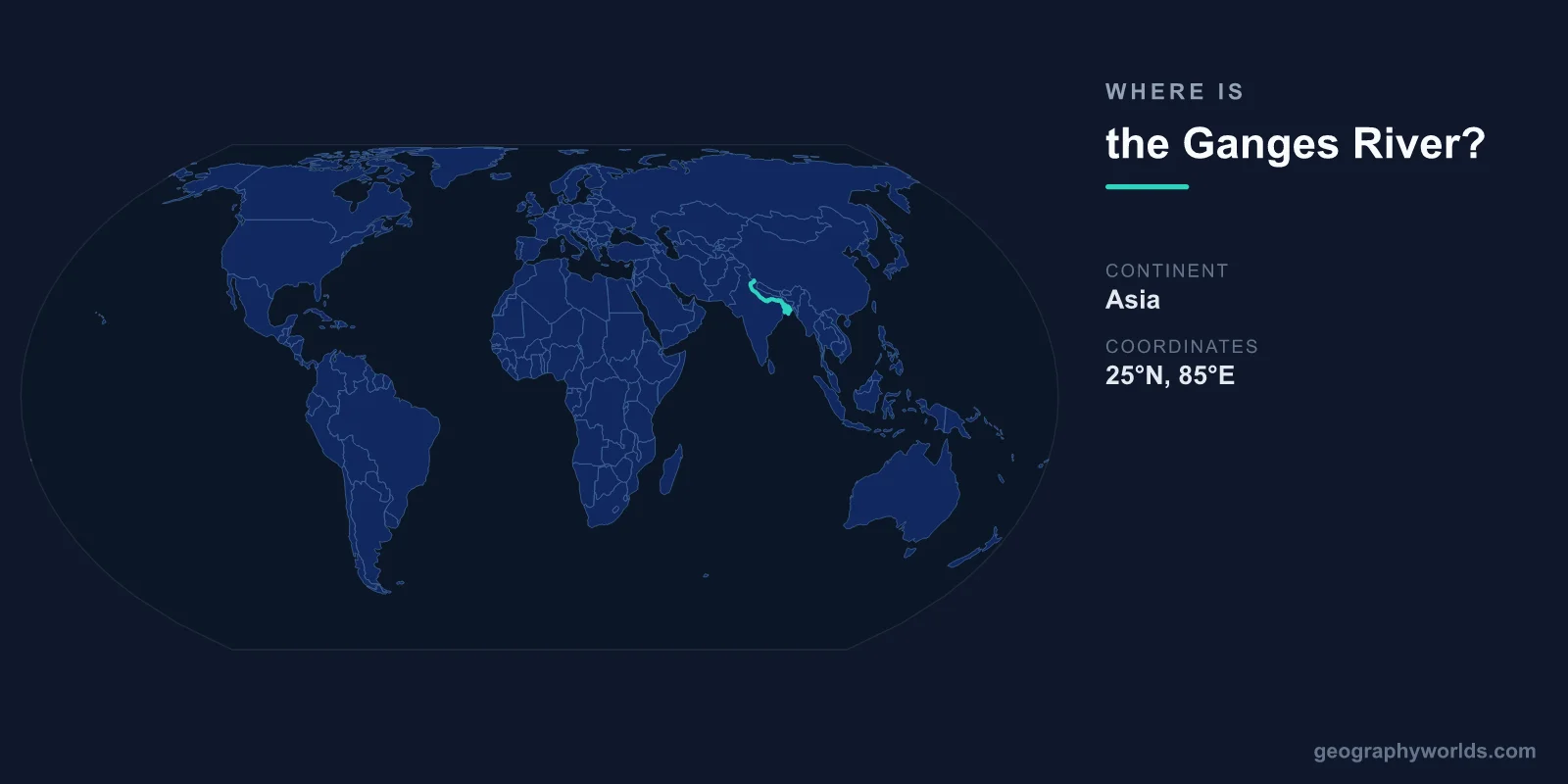
The Ganges River is located in northern India and Bangladesh, flowing from its source in the western Himalayas at approximately 30°55'N, 79°04'E to its vast delta on the Bay of Bengal at approximately 22°N, 89°E. The river is 2,525 kilometers long and drains a basin of roughly 1,080,000 square kilometers.
Introduction
The Ganges is India's most sacred river, revered by over a billion Hindus as the goddess Ganga. Its fertile floodplain, the Indo-Gangetic Plain, is one of the most densely populated regions on Earth, home to over 400 million people. Major Indian cities including Delhi (via the Yamuna tributary), Kanpur, Allahabad, Varanasi, and Kolkata sit along its course.

Exact Location & Coordinates
- Source: 30°55'N, 79°04'E (Gangotri Glacier, Himalayas)
- Major Holy City: Varanasi at 25°19'N, 82°59'E
- Delta/Mouth: ~22°N, 89°E (Bay of Bengal, Bangladesh)
- Length: 2,525 km
On a world map, the Ganges is the major river flowing eastward across northern India. Find the Himalayas along India's northern border, then trace the rivers flowing south and then east across the vast green Indo-Gangetic Plain. The Ganges and its tributaries drain almost the entire northern Indian plain.
The river's source is the Gangotri Glacier at the base of the Himalayas in Uttarakhand state. From there, it descends through the mountains to the plains at Haridwar, then flows generally southeast through some of India's most ancient and populous cities before crossing into Bangladesh and emptying into the Bay of Bengal through the Ganges Delta.
Surrounding Countries & Borders
- India: Main course (Uttarakhand to West Bengal)
- Bangladesh: Lower course and delta
- Nepal: Tributaries originate in Nepal
India contains the vast majority of the Ganges' course, from the Himalayan source through Uttar Pradesh (India's most populous state), Bihar, Jharkhand, and West Bengal. The river enters Bangladesh near Rajshahi, where it is called the Padma, before merging with the Brahmaputra to form the world's largest river delta.
The Ganges Delta, shared between India (West Bengal) and Bangladesh, covers roughly 105,000 square kilometers. Much of Bangladesh sits on this delta, making it extremely vulnerable to flooding and sea-level rise. The Sundarbans, the world's largest mangrove forest and home to Bengal tigers, occupies the delta's seaward edge.
Geographic Context
- Part Of: Indo-Gangetic Plain (one of world's largest alluvial plains)
- Major Tributaries: Yamuna, Son, Gandak, Kosi, Ghaghara
- Delta: Ganges Delta (~105,000 km², world's largest)
The Indo-Gangetic Plain, formed by sediment deposited by the Ganges and its tributaries over millions of years, is one of the most fertile and densely populated regions on Earth. The alluvial soil supports intensive agriculture, producing much of India's wheat, rice, and sugarcane. This plain has been the heartland of Indian civilization for millennia.
The Yamuna, the Ganges' largest tributary, flows through Delhi before joining the Ganges at Allahabad (Prayagraj). This confluence, called the Sangam, is one of Hinduism's holiest sites and hosts the Kumbh Mela, the world's largest religious gathering, attended by tens of millions of people.
Physical Characteristics
- Length: 2,525 km
- Drainage Basin: ~1,080,000 km²
- Discharge: ~12,000 m³/s at mouth
- Population in Basin: ~400+ million people
The Ganges' flow varies enormously between seasons due to the monsoon. During the wet season (July-September), the river can swell to many times its dry-season width, flooding vast areas. These floods, while destructive, also deposit fertile silt that sustains agriculture.
The river faces severe pollution challenges. Industrial waste, sewage from cities of millions, agricultural runoff, and religious practices (cremation ashes, offerings) have made the Ganges one of the most polluted major rivers in the world. India's National Mission for Clean Ganga (Namami Gange) program is a multi-billion-dollar effort to restore the river.
Why It Matters
- Sacred River: Holiest river in Hinduism, revered by 1+ billion people
- Agriculture: Supports one of the world's most productive agricultural regions
- Population: Over 400 million people live in the Ganges basin
The Ganges is central to Hindu spiritual life. Varanasi, on the river's banks, is one of the world's oldest continuously inhabited cities and the holiest city in Hinduism. Hindus believe that bathing in the Ganges cleanses sin, and cremation on its ghats (stepped riverbanks) at Varanasi ensures liberation from the cycle of rebirth.
Economically, the Ganges basin is the most productive agricultural region in India, contributing a significant share of the country's food production. The river also provides drinking water, industrial water, and inland navigation for hundreds of millions of people, making it one of the most consequential rivers on Earth.
Key Facts
- The Ganges flows from 30°55'N, 79°04'E (Gangotri Glacier) to ~22°N, 89°E (Bay of Bengal).
- It is 2,525 km long and its basin supports over 400 million people.
- The Ganges Delta is the world's largest river delta at ~105,000 km².
- Varanasi on the Ganges is one of the world's oldest continuously inhabited cities.
- The Ganges is considered the holiest river in Hinduism.
Fun Facts
- The Kumbh Mela at the Ganges' confluences is the world's largest gathering, with up to 150 million attendees.
- The Sundarbans at the Ganges Delta is the world's largest mangrove forest and home to Bengal tigers.
- India's government has legally declared the Ganges a "living entity" with legal rights.
- Despite severe pollution, the Ganges' water has been shown to have unusual antibacterial properties.
Final Thoughts
The Ganges River flows from the Himalayas at 30°55'N, 79°04'E across northern India to the Bay of Bengal, sustaining over 400 million people and forming the world's largest river delta. As Hinduism's holiest river and the lifeline of the Indo-Gangetic Plain, the Ganges is among the most culturally and economically significant rivers on the world map.
Test Your Knowledge!
Think you know where things are on the map? Test your skills!
Play Geography Games →