
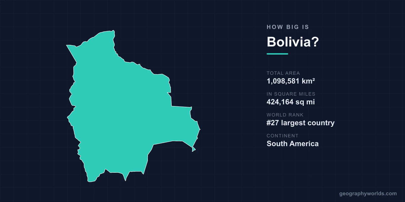
Bolivia covers a total area of 1,098,581 km² (424,164 sq mi), making it the 27th largest country in the world. That places this landlocked South American nation roughly on par with Ethiopia in size, and well ahead of most countries on Earth. Despite ranking among the world's larger states, Bolivia accounts for only about 0.74% of the planet's total land area, and its dramatic range of altitudes — from Andean peaks to Amazon lowlands — makes it feel like several countries packed into one.
Bolivia's Area in Perspective
At nearly 1.1 million square kilometres, Bolivia is the fifth-largest country in South America, behind Brazil, Argentina, Peru, and Colombia. To translate the figure into more familiar terms, Bolivia is about 1.7 times the size of France (640,679 km²) and large enough to hold the entire United Kingdom roughly four times over. It is also comparable in size to the combined area of Texas and California.
For all that land, Bolivia is sparsely populated, with around 12 million people spread across vast plateaus, valleys, and rainforests. Much of the eastern territory remains thinly settled, while the bulk of the population clusters in the highland cities of La Paz, El Alto, Cochabamba, and the eastern boomtown of Santa Cruz.
Geographic Dimensions and Borders
Bolivia stretches approximately 1,500 km from north to south and about 1,300 km from east to west, giving it a fairly compact, blocky shape. It is one of only two landlocked countries in South America — the other being Paraguay — and shares borders with five neighbours: Brazil to the north and east, Paraguay and Argentina to the south, and Chile and Peru to the west.
Bolivia famously lost its Pacific coastline to Chile during the War of the Pacific (1879–1884), and the absence of a sea outlet still shapes national identity and trade today. Remarkably, the country maintains a naval force despite having no ocean access — it patrols the rivers of the Amazon basin and the waters of Lake Titicaca, the high-altitude lake shared with Peru.
A Land of Extreme Elevation
What makes Bolivia's size so striking is not just its footprint but its vertical range. The country spans from Andean summits above 6,500 m down to Amazon lowlands sitting near 100 m above sea level. The highest point is Nevado Sajama, a dormant volcano reaching 6,542 m (21,463 ft).
The western third of the country is dominated by the Altiplano, a vast high plateau wedged between two Andean ranges at elevations of 3,500–4,000 m. This plateau alone is roughly the size of the United Kingdom. East of the mountains, the terrain plunges through the subtropical Yungas valleys before flattening into the tropical Llanos lowlands and the Amazon rainforest. Because of this gradient, climate varies enormously by region: cold and dry on the Altiplano, humid and tropical in the east.
Iconic Features Within Bolivia's Borders
Bolivia's large and varied territory contains some of the most extraordinary landscapes on the continent. The most famous is the Salar de Uyuni, the world's largest salt flat, covering more than 10,000 km². When wet, its surface becomes so flat and mirror-like that scientists use it to calibrate Earth-observation satellites. The salt flat also sits atop an estimated 70% of the world's known lithium reserves.
Other notable features include Lake Titicaca — the highest large navigable lake in the world — and the notorious Yungas Road, nicknamed the "Death Road," which drops about 3,600 m over just 64 km of switchbacks. The Amazon Basin spreads across Bolivia's northern and eastern reaches, adding rich biodiversity to a country better known abroad for its mountains. You can learn more in our bolivia country guide.
Capitals and Administrative Size
Bolivia is unusual in having two capitals. Sucre is the constitutional capital and home to the judiciary, while La Paz serves as the seat of government and administration. At 3,640 m, La Paz is the highest administrative capital in the world, perched in a dramatic canyon ringed by the Andes. Administratively, the country is divided into nine departments, with the eastern department of Santa Cruz being the largest by area and now the most economically dynamic.
Frequently Asked Questions
Is Bolivia bigger than France?
Yes. Bolivia covers 1,098,581 km², making it roughly 1.7 times larger than France's 640,679 km². It is also the fifth-largest country in South America.
Why is Bolivia landlocked?
Bolivia lost its 400 km Pacific coastline to Chile in the War of the Pacific (1879–1884). It has sought sea access through diplomacy ever since but remains one of only two landlocked countries in South America.
What is the largest natural feature in Bolivia?
The Salar de Uyuni, the world's largest salt flat at over 10,000 km², is Bolivia's most famous natural feature. It holds a major share of global lithium reserves and is visible from space.
How high is Bolivia?
Bolivia's elevation ranges from about 100 m in the eastern Amazon lowlands to 6,542 m at the summit of Nevado Sajama. The populous western Altiplano averages 3,500–4,000 m.
