
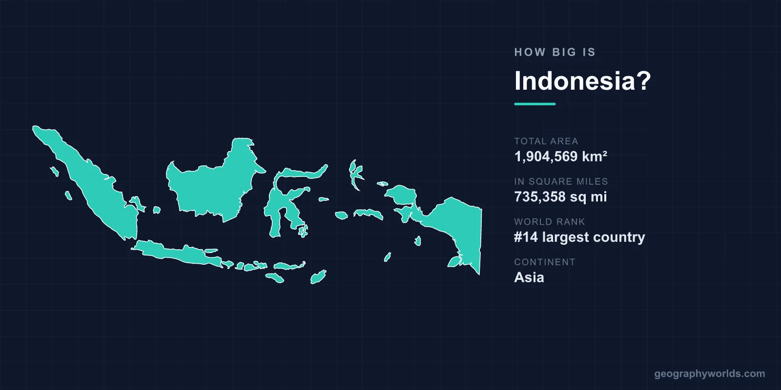
Indonesia covers a total area of 1,904,569 km² (735,358 sq mi), making it the 14th largest country in the world by land area — roughly the same size as Mexico. But unlike most countries its size, Indonesia is not a single continuous landmass. It is the world's largest archipelago, scattered across more than 17,000 islands that straddle the equator between the Indian and Pacific Oceans.
Just How Large Is Indonesia?
At 1,904,569 km², Indonesia accounts for about 1.28% of the Earth's total land area of roughly 148.94 million km². That places it 14th globally, ahead of every other country in Southeast Asia by a wide margin. Of that total, around 1.81 million km² is land and the remainder is inland water — though those figures barely hint at the true scale of the nation, because Indonesia's reach is defined far more by ocean than by soil.
Spread out, the country stretches approximately 5,120 km from west to east and around 1,760 km from north to south. If you laid that east-west span across Europe, Indonesia would reach from Ireland all the way to the Caspian Sea. It is genuinely vast, even if no single island feels that way when you stand on it.
An Archipelago of More Than 17,000 Islands
What makes Indonesia's size so distinctive is its fragmentation. The nation is made up of over 17,000 islands, of which roughly 6,000 are inhabited. Five landmasses dominate the map:
- Borneo (Kalimantan): Shared with Malaysia and Brunei, the world's third-largest island.
- Sumatra: The sixth-largest island on Earth, running the country's western flank.
- New Guinea (Papua): The world's second-largest island, shared with Papua New Guinea.
- Sulawesi: A distinctive four-armed island in the centre of the archipelago.
- Java: Smaller in area but home to more than half of Indonesia's population and the capital, Jakarta.
Three of the world's ten largest islands — Borneo, Sumatra, and New Guinea — lie partly within Indonesian territory, an unusual concentration for any single nation.
How Indonesia Compares to Other Countries
Size comparisons make the numbers easier to picture. Indonesia is almost exactly the same area as Mexico (1,964,375 km²) and slightly larger than Iran. Compared with France (640,679 km²), it is about three times larger. You could fit the United Kingdom (around 243,000 km²) inside Indonesia roughly seven times over.
Within Southeast Asia, Indonesia dwarfs its neighbours — it is more than five times the size of Vietnam and nearly four times the size of Thailand. Yet against the true giants of the world map, such as Russia, Canada, China, and the United States, Indonesia is only a fraction of the size; Russia alone is nearly nine times larger. To learn more about the country beyond its dimensions, see our indonesia country guide.
The Maritime Dimension
Indonesia's land area tells only part of the story. Because it is an archipelago, the country claims an enormous maritime zone, and its coastline runs for an extraordinary 54,716 km — the second-longest in the world after Canada. When territorial waters and exclusive economic zones are counted, Indonesia controls one of the largest combined land-and-sea territories on the planet.
This watery geography is why the country spans three official time zones (Western, Central, and Eastern Indonesian Time) despite being a single nation, and why travel within Indonesia so often means flying or sailing rather than driving.
Terrain, Volcanoes, and High Points
The terrain across these islands is dramatic and varied, shaped by Indonesia's position on the Pacific Ring of Fire. The country has more than 130 active volcanoes — more than any other nation — including the infamous Krakatoa, whose 1883 eruption produced one of the loudest sounds in recorded history. The highest point is Puncak Jaya in Papua, rising to 4,884 m (16,024 ft), which is also the tallest peak found on any island on Earth.
Between the volcanic highlands lie tropical rainforests among the oldest in the world, vast coastal lowlands, and natural wonders such as Lake Toba, a supervolcanic lake so large it contains an island bigger than Singapore. The climate is hot and humid year-round, with monsoon-driven wet and dry seasons and equatorial regions that can receive over 3,000 mm of rain annually.
Frequently Asked Questions
What rank is Indonesia by area?
Indonesia is the 14th largest country in the world by total area, at 1,904,569 km². It is the largest country in Southeast Asia and the largest island nation on Earth.
Is Indonesia bigger than the United Kingdom?
Yes, by a large margin. Indonesia is roughly seven times the size of the United Kingdom, which covers about 243,000 km².
How many islands does Indonesia have?
Indonesia comprises more than 17,000 islands, of which about 6,000 are inhabited. This makes it the world's largest archipelagic state.
What is the highest point in Indonesia?
The highest point is Puncak Jaya in the Papua region, at 4,884 m (16,024 ft) above sea level — the highest mountain peak located on any island in the world.