
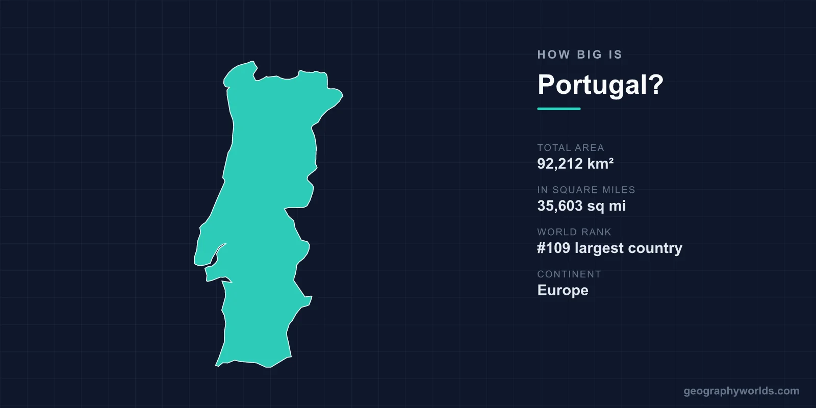
Portugal covers a total area of 92,212 km² (35,603 sq mi), making it roughly the 109th largest country in the world — comparable in size to the U.S. state of Indiana or about 92% the area of South Korea. It is one of Europe's smaller nations, yet its long Atlantic coastline and far-flung island territories give it an outsized geographic reach.
The numbers behind Portugal's size
At 92,212 square kilometres, Portugal accounts for only about 0.06% of the Earth's total land area of roughly 148.94 million km². Despite being modest in scale, it ranks among the oldest fixed national borders in Europe — the boundary with neighbouring Spain has been broadly stable since the 13th century. Mainland Portugal stretches approximately 560 km from north to south and just 220 km from east to west, giving the country a distinctly elongated, rectangular shape pressed against the western edge of the Iberian Peninsula.
That compact footprint contains a surprising variety of landscapes. Because Portugal is narrow, you can drive from the Spanish border to the Atlantic in just a few hours, crossing from inland plains to surf-pounded beaches in a single day.
How Portugal compares to other places
Size comparisons make the figures easier to picture:
- Versus a U.S. state: Portugal is almost exactly the size of Indiana.
- Versus the United Kingdom (243,610 km²): Portugal is about 38% as large.
- Versus South Korea (100,210 km²): Portugal is roughly 92% of its area.
- Versus neighbouring Spain (505,990 km²): Portugal is under one-fifth the size.
Within Europe, Portugal sits in the middle of the pack — larger than Austria, Hungary or Ireland, but considerably smaller than France, Germany or its only land neighbour, Spain. To explore more about the country, see our portugal country guide.
Mainland, islands and a vast Atlantic spread
Portugal's territory is not confined to the mainland. The country also includes two autonomous archipelagos far out in the Atlantic Ocean: the Azores, around 1,400 km west of Lisbon, and Madeira, off the northwest coast of Africa. Together, these islands stretch Portuguese territory across more than 1,800 km of ocean, even though their combined land area is small.
The islands punch above their weight geographically. Portugal's highest point is not on the mainland at all but on the island of Pico in the Azores — Mount Pico, a volcanic peak rising to 2,351 m (7,713 ft). The Azores famously sit at the junction of three tectonic plates (the North American, Eurasian and African plates), a rare geological setting that fuels their volcanoes and hot springs.
A coastline that defines the country
Few countries are shaped by the sea as much as Portugal. Its mainland coastline runs for about 1,793 km, and Portugal has one of the highest coastline-to-area ratios of any country in Europe. This long Atlantic frontage has defined Portuguese history, launching the great voyages of the Age of Discoveries and shaping a national identity built around fishing, trade and exploration.
The coast also produces some of the planet's most dramatic ocean features. At Nazaré, an underwater canyon channels swell into waves that can exceed 30 m, among the tallest surfable waves ever recorded. Further south, the Algarve's limestone cliffs hide sea caves such as Benagil, one of the most photographed natural wonders in Europe, while the region enjoys more than 300 days of sunshine a year.
Compact in size, varied in landscape
For all its small dimensions, Portugal packs in striking regional contrasts. The north is mountainous and green, home to ranges like the Serra da Estrela — the country's highest mainland point — and the Serra do Gerês. The south, by contrast, opens into the flatter, drier plains of the Alentejo and the sun-baked Algarve. The Tagus River, Iberia's longest river, cuts across the country and roughly divides it in two before reaching the sea at Lisbon.
The Douro Valley in the north — a UNESCO World Heritage Site and the world's oldest demarcated wine region, established in 1756 — adds terraced vineyards to this mix. From green northern mountains to golden southern coasts and mid-Atlantic volcanoes, Portugal compresses an unusual range of geography into a country smaller than many single U.S. states.
Frequently Asked Questions
Is Portugal a small country?
Yes, relatively. At 92,212 km² Portugal is one of the smaller countries in Western Europe, ranking around 109th in the world by area. It is, however, larger than countries such as Ireland, Austria and Hungary.
How does Portugal's size compare to Spain?
Portugal is far smaller than its only land neighbour. Spain covers about 505,990 km², so Portugal is less than one-fifth the size of Spain, occupying the western strip of the Iberian Peninsula.
What is the highest point in Portugal?
The highest point is Mount Pico at 2,351 m (7,713 ft), a volcano on Pico Island in the Azores. On the mainland, the highest summit is in the Serra da Estrela mountain range.
How long is Portugal's coastline?
Mainland Portugal has a coastline of about 1,793 km. Including the Azores and Madeira archipelagos, Portuguese territory spans more than 1,800 km of the Atlantic Ocean.