
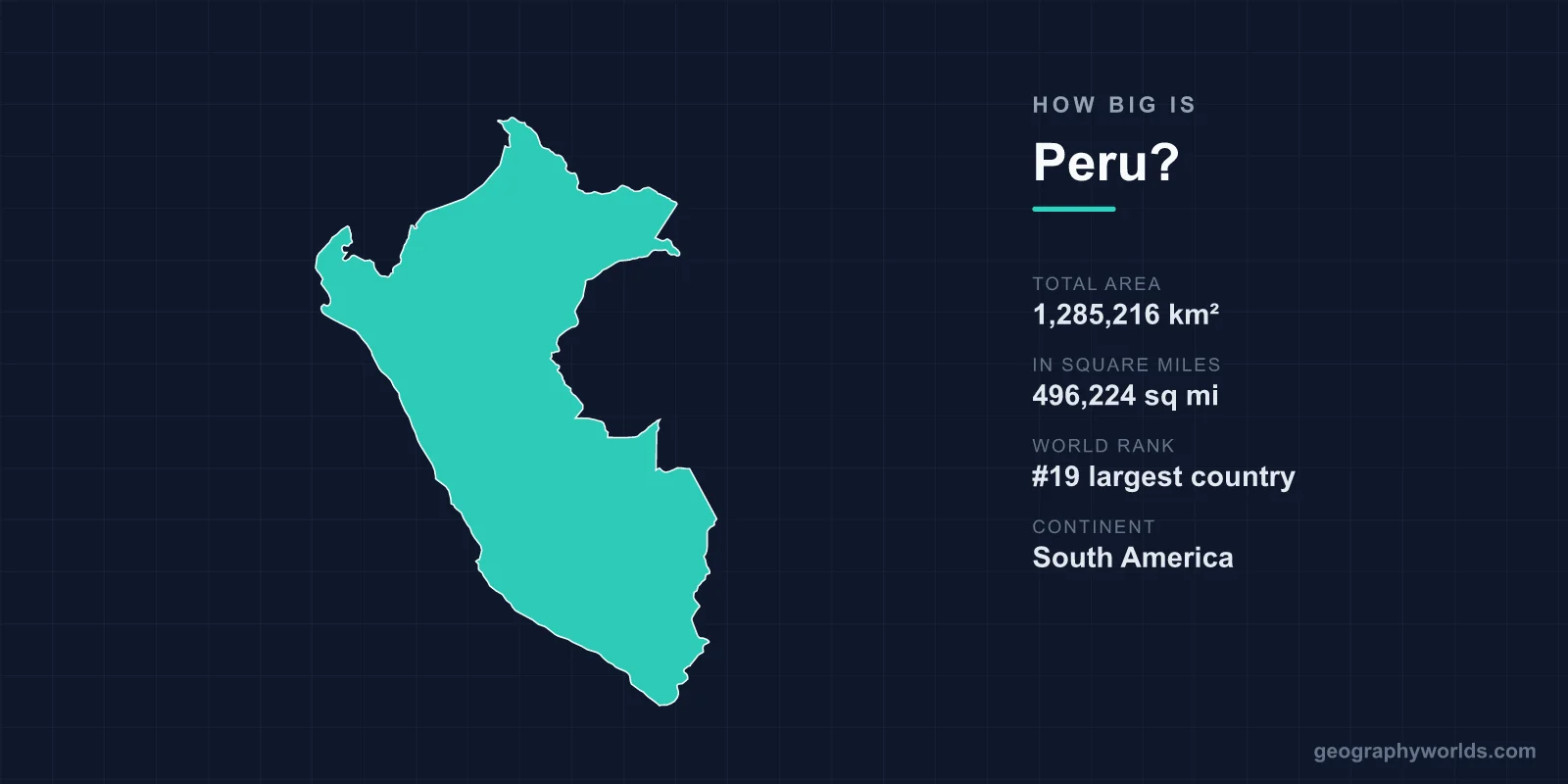
Peru covers a total area of 1,285,216 km² (496,224 sq mi), making it the 19th largest country in the world and the third largest in South America after Brazil and Argentina. That makes Peru roughly the same size as the U.S. state of Alaska, and large enough to swallow the United Kingdom more than five times over.
Peru's Size in Numbers
At 1,285,216 square kilometres, Peru accounts for about 0.86% of the Earth's total land surface of roughly 148.94 million km². It stretches around 2,000 km from its northern border with Ecuador and Colombia down to its southern frontier with Chile, and about 1,300 km from the Pacific coast eastward to the borders with Brazil and Bolivia. Its Pacific coastline runs for some 2,414 km.
- Total area: 1,285,216 km² (496,224 sq mi)
- World rank: 19th largest country
- Rank in South America: 3rd (after Brazil and Argentina)
- Coastline: 2,414 km along the Pacific Ocean
- Highest point: Huascarán, 6,768 m (22,205 ft)
- Capital: Lima
How Peru Compares to Other Places
Comparisons make Peru's scale easier to picture. It is almost exactly the size of Alaska, the largest U.S. state, and about twice the area of France (640,679 km²). Peru is larger than every country in Europe and bigger than Texas and California combined. Yet within South America it is dwarfed by Brazil, which is more than six times its size. If you laid the United Kingdom over Peru, you could fit it in roughly five times with room to spare.
Despite this large footprint, Peru's population of around 34 million is spread unevenly, with millions concentrated in the coastal capital of Lima. Vast stretches of the eastern interior remain thinly populated rainforest.
Three Worlds in One Country
Much of what makes Peru's size remarkable is how varied that territory is. The country is traditionally divided into three distinct geographic zones running parallel from west to east:
- The coast (costa): a narrow ribbon of arid desert along the Pacific where Lima sits as one of the driest capital cities on Earth.
- The highlands (sierra): the towering Andes, which run the full length of the country and create dramatic changes in elevation over short distances.
- The jungle (selva): the eastern Amazon lowlands, which cover more than 60% of Peru's total land area.
This three-way split means a journey of just a couple of hundred kilometres can take you from coastal desert through snow-capped peaks to steaming tropical rainforest. Peru is often said to contain a striking share of the world's recognised climate zones, a diversity directly tied to its combination of latitude, altitude, and ocean currents. You can explore more in our peru country guide.
Record-Breaking Geography
Peru's land area packs in some of the planet's most extreme features. The Andes here reach 6,768 m at Huascarán, the country's highest peak. Peru also holds the headwaters of the Amazon River, the largest river in the world by volume, whose source streams rise high in the Peruvian mountains before flowing east across the continent.
The Colca Canyon plunges more than 3,400 m, making it over twice as deep as the Grand Canyon. In the south, Peru shares Lake Titicaca with Bolivia; at 3,812 m above sea level it is the highest navigable lake in the world. The coastal desert is among the driest places on the planet, with some areas receiving virtually no measurable rainfall, while Cerro Blanco near Nazca ranks as one of the tallest sand dunes on Earth.
Borders and Neighbours
Peru's substantial size gives it land borders with five countries: Ecuador and Colombia to the north, Brazil and Bolivia to the east, and Chile to the south. To the west lies the open Pacific Ocean. These long frontiers, especially through remote Amazon territory, are part of why so much of the country's interior remains wild and sparsely inhabited. The combination of a long coastline, a high mountain spine, and a deep rainforest interior makes Peru one of the most geographically diverse nations of its size anywhere in the world.
Frequently Asked Questions
Is Peru bigger than Texas?
Yes. Peru's 1,285,216 km² is considerably larger than Texas, which covers about 695,662 km². Peru is closer in size to Alaska, the largest U.S. state.
What is the largest country in South America compared to Peru?
Brazil is by far the largest, at roughly 8.5 million km² — more than six times the size of Peru. Argentina is second, and Peru ranks third on the continent.
How much of Peru is rainforest?
More than 60% of Peru's territory lies within the Amazon basin as tropical rainforest, even though most of the population lives along the desert coast far to the west.
How long is Peru's coastline?
Peru has about 2,414 km of coastline along the Pacific Ocean, fronting the arid desert strip where Lima and several other major cities are located.