
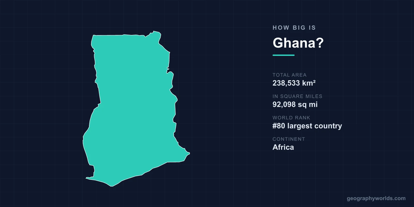
Ghana covers a total area of 238,533 km² (92,098 sq mi), making it the 80th largest country in the world — roughly the same size as the United Kingdom. Tucked along the Gulf of Guinea in West Africa, just a few degrees north of the equator, Ghana packs coastline, rainforest, savanna and one of the planet's largest artificial lakes into a compact, manageable footprint.
Ghana's Total Area in Numbers
At 238,533 square kilometres, Ghana accounts for about 0.16% of the Earth's total land area of roughly 148.94 million km². That places it 80th out of nearly 200 sovereign states — comfortably in the middle of the pack rather than among the giants or the micro-states.
- Total area: 238,533 km² (92,098 sq mi)
- World rank: 80th largest country
- Continent: Africa (West Africa)
- Capital: Accra
- Coastline: 539 km along the Gulf of Guinea
- Share of world land area: about 0.16%
For a country that looms large in African history and economics, Ghana's physical size is modest. Its land area is almost identical to the United Kingdom's 242,500 km², so picturing England, Scotland, Wales and Northern Ireland combined gives a close mental image of Ghana's extent.
Geographic Dimensions and Shape
Ghana has a roughly rectangular, slightly elongated shape. It stretches approximately 670 km from north to south and about 560 km from east to west. That compactness means no point in the country is extraordinarily far from another, which has historically helped knit its regions together.
The land itself is mostly low-lying. A narrow coastal plain in the south gives way to a belt of tropical rainforest through the centre, and then to broad savanna grasslands across the north. The highest point is Mount Afadja (Afadjato) at 885 m (2,904 ft), part of the Akwapim-Togo ranges near the eastern border — modest by global standards but a notable rise in an otherwise gentle landscape.
How Ghana Compares to Other Countries
Size comparisons make 238,533 km² far easier to grasp:
- United Kingdom: nearly identical in area — the single closest comparison.
- France (640,679 km²): Ghana is about 37% of its size.
- Japan (377,975 km²): Ghana is roughly 63% as large.
- United States (9.83 million km²): Ghana is comparable to the state of Oregon.
- Neighbours: Ghana is smaller than its western neighbour Côte d'Ivoire (322,463 km²) but considerably larger than Togo to the east.
Within Africa, Ghana ranks well outside the largest nations — Algeria, the Democratic Republic of the Congo and Sudan each dwarf it many times over — yet it is far from the smallest. It is a medium-sized West African state with an outsized cultural and economic presence on the continent.
What Fills Ghana's Land Area
A surprising amount of Ghana's territory is taken up by water. Lake Volta, formed by the Akosombo Dam on the Volta River, is one of the world's largest artificial lakes by surface area, covering roughly 8,500 km² — about 3.6% of the entire country. Its long, branching shape dominates the eastern interior and supplies much of Ghana's hydroelectric power.
The rest of the land divides into distinct zones shaped by climate. The south sees two rainy seasons, supporting dense forest and the cocoa farms that make Ghana the world's second-largest cocoa producer. The drier north, with a single rainy season, opens into savanna that hosts wildlife reserves such as Mole National Park. Protected areas, farmland, forest reserves and the growing urban sprawl around Accra and Kumasi together account for how the country's 238,533 km² is used.
Notable Geographic Facts About Ghana
- The Greenwich Meridian (0° longitude) passes through eastern Ghana, near the town of Tema — one of the few places it crosses land in Africa.
- Ghana sits only a few degrees north of the equator, giving it a warm tropical climate year-round.
- The coastline of 539 km is dotted with more than 30 historic European forts and castles, including the UNESCO-listed Cape Coast Castle.
- Ghana was the first sub-Saharan African nation to gain independence from colonial rule, in 1957.
- Kakum National Park features a 350-metre canopy walkway suspended about 30 metres above the rainforest floor.
For a deeper look at the country's people, regions and travel highlights, see our ghana country guide.
Frequently Asked Questions
How big is Ghana compared to the UK?
Ghana and the United Kingdom are almost the same size. Ghana covers 238,533 km² while the UK is around 242,500 km², making them the closest single-country comparison and an easy way to visualise Ghana's extent.
Is Ghana a large country?
Ghana is a medium-sized country. Ranked 80th in the world by area, it is bigger than most West African neighbours like Togo and Benin but smaller than Côte d'Ivoire, Nigeria and many of Africa's largest nations.
What is the highest point in Ghana?
The highest point is Mount Afadja (Afadjato) at 885 m (2,904 ft), located near the eastern border with Togo in the Akwapim-Togo ranges. Most of the country, however, is low-lying plains and plateaus.
How long is Ghana's coastline?
Ghana has a coastline of 539 km along the Gulf of Guinea in the Atlantic Ocean, lined with historic colonial forts, fishing communities and beaches near the capital, Accra.