
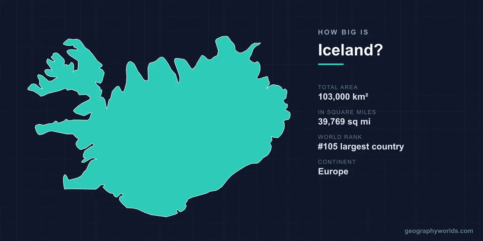
Iceland covers a total area of 103,000 km² (39,769 sq mi), making it the 105th largest country in the world — roughly the size of the U.S. state of Kentucky. Despite being the second-largest island nation in Europe, Iceland is sparsely populated, with vast stretches of uninhabitable glaciers, lava fields, and highland desert spread across its compact footprint.
Iceland's Area in Numbers
At 103,000 km², Iceland accounts for about 0.07% of the planet's total land area of roughly 148.94 million km². That places it well down the global rankings at 105th, behind countries like Hungary and South Korea but ahead of dozens of smaller nations. To picture its shape, the island stretches around 500 km from east to west and about 300 km from north to south, giving it a broadly oval, almost circular outline anchored just below the Arctic Circle in the North Atlantic.
- Total area: 103,000 km² (39,769 sq mi)
- World rank: 105th largest country
- Coastline: approximately 4,970 km
- Highest point: Hvannadalshnúkur, 2,110 m (6,923 ft)
- Capital: Reykjavík
How Iceland Compares to Other Places
Size comparisons make Iceland's scale far easier to grasp. The most common reference for American readers is Kentucky, which sits at almost exactly the same area. South Korea is another near-twin at 100,210 km², meaning the two are virtually identical in size — yet South Korea is home to more than 50 million people while Iceland has fewer than 400,000.
Set against the United Kingdom (243,610 km²), Iceland is only about 42% as large. It is a touch bigger than Hungary and comfortably larger than Portugal or Austria. Among islands, Iceland ranks as the 18th largest in the world and the second largest in Europe after Great Britain. What sets it apart is not raw size but density: with roughly four people per square kilometre, it is one of the most thinly settled countries on Earth, and the overwhelming majority of residents cluster in and around Reykjavík.
A Land of Empty Interior
One reason Iceland feels so much larger than its statistics suggest is that so little of it is lived in. The interior is a rugged volcanic highland — barren, roadless for much of the year, and almost entirely uninhabited. Glaciers blanket about 11% of the surface, including Vatnajökull, the largest glacier in Europe by volume, which alone covers an area larger than some small countries. Add in extensive lava fields, sand and gravel deserts, and braided glacial rivers, and only a slim coastal ring of lowland is suitable for towns, farms, and pasture.
Despite the name, Iceland is not all ice. Roughly a quarter of the island carries some vegetation, and the southern and western lowlands support grazing and hardy agriculture. Still, the contrast between its sizeable area and its tiny population gives travellers the sense of having an entire country almost to themselves.
Why Iceland Is Shaped the Way It Is
Iceland owes both its size and its dramatic terrain to its position straddling the Mid-Atlantic Ridge, the boundary where the North American and Eurasian tectonic plates pull apart. The island is essentially the exposed crest of this ridge, built up over millions of years by volcanic activity. That same geology gives Iceland more than 30 active volcanic systems, frequent eruptions, and abundant geothermal energy that powers nearly all of its electricity alongside hydropower.
Remarkably, the country is still growing. As the plates separate at roughly 2.5 cm per year, the land slowly widens, and fresh lava periodically adds new ground. The rift is visible at Þingvellir, where you can walk between the two continental plates — a vivid reminder that Iceland's borders are written by geology as much as by maps. For a fuller picture of the nation's landscapes, culture, and travel highlights, see our iceland country guide.
Climate Across Iceland's Size
For a country sitting on the edge of the Arctic, Iceland is surprisingly mild thanks to the warming influence of the Gulf Stream. Reykjavík averages around 0°C in winter and a cool 10–13°C in summer, far gentler than its latitude would imply. Weather, however, is famously changeable and varies across the island — the south is wetter, the north and interior drier and colder. This relatively temperate coastal climate is another reason settlement hugs the shoreline rather than spreading into the frozen highland heart of the country.
Frequently Asked Questions
Is Iceland bigger than Ireland?
Yes. Iceland covers about 103,000 km², while the island of Ireland is roughly 84,400 km². Iceland is therefore around 20% larger, though Ireland has many times more inhabitants.
What U.S. state is Iceland closest in size to?
Iceland is almost exactly the size of Kentucky (about 104,000 km²). It is also comparable to Ohio or Virginia, making it easy for American readers to visualise its footprint.
How does Iceland's population compare to its size?
Iceland has a sizeable area but a very small population of under 400,000, giving it a density of about four people per square kilometre — among the lowest in Europe. Roughly two-thirds of residents live in the Reykjavík capital region.
How much of Iceland is covered by glaciers?
About 11% of Iceland's surface is glacier, including Vatnajökull, the largest ice cap in Europe by volume. These glaciers, along with lava fields and highland desert, leave only a narrow coastal band for habitation.