
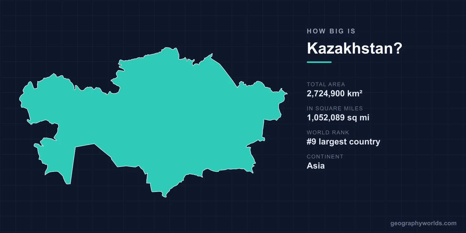
Kazakhstan covers a total area of 2,724,900 km² (1,052,089 sq mi), making it the 9th largest country in the world and, by a wide margin, the largest landlocked nation on Earth. To picture that scale, Kazakhstan is roughly four times the size of Texas, larger than all of Western Europe put together, and it occupies about 1.83% of the planet's entire land surface.
Just How Big Is 2.7 Million Square Kilometres?
Kazakhstan's 2,724,900 km² places it ahead of giants like Argentina, Algeria, and India in total land area, yet it holds only around 20 million people — one of the lowest population densities anywhere on Earth. The sheer distances are hard to grasp until you break them down. The country stretches approximately 3,000 km from west to east and about 1,600 km from north to south. A road journey across its full width can take days, crossing steppe, desert, and mountain terrain along the way.
Until 2024 the country officially spanned two time zones, before unifying to a single national time. Despite the change on the clock, the geography remains vast: the western edge sits on the Caspian Sea while the eastern frontier brushes against China, a span comparable to travelling from Lisbon to Moscow.
Size Comparisons That Make It Click
Comparisons are the easiest way to feel Kazakhstan's enormity:
- It is about four times the size of Texas, the largest contiguous US state.
- You could fit the United Kingdom inside it roughly 11 times.
- It is about 4.3 times larger than France (640,679 km²), Western Europe's biggest country.
- It is larger than the whole of Western Europe combined.
- At nearly 2.73 million km², it is bigger than the next four Central Asian republics added together.
Among the world's top ten by area — Russia, Canada, the United States, China, Brazil, Australia, India, Argentina, and Kazakhstan — it is the only one that has no access whatsoever to the open ocean.
The Terrain Filling All That Space
What makes Kazakhstan's size so striking is the variety packed inside its borders. The vast steppe grasslands of the centre form one of the largest dry-steppe regions on the planet, rolling for hundreds of kilometres without interruption. To the south lie the Kyzylkum and Betpak-Dala deserts, while the Kazakh Uplands provide low, weathered hills through the middle of the country.
The drama rises toward the east and southeast, where the Tian Shan and Altai mountain ranges climb steeply along the frontiers with China and Kyrgyzstan. The country's highest point, Khan Tengri, reaches 7,010 m (22,999 ft), a glacier-clad peak prized by mountaineers. This combination of flat heartland and high border ranges gives Kazakhstan a topography as broad as its map.
Water, Borders, and a Landlocked Record
Despite being the world's largest landlocked country, Kazakhstan is far from dry everywhere. Its western shore meets the Caspian Sea — technically the world's largest enclosed body of water, classed as a lake — which forms a long coastline even though it leads to no ocean. Inland, Lake Balkhash is one of geography's curiosities: its western half holds fresh water while its eastern half is saline, a split sustained by the river inflows feeding it.
The country shares borders with Russia, China, Kyrgyzstan, Uzbekistan, and Turkmenistan. Scenic landmarks add further texture, including the 80 km Charyn Canyon carved through red sandstone — often likened to a smaller cousin of the Grand Canyon. For a deeper look at the nation's regions, climate, and culture, see our kazakhstan country guide.
A Climate to Match the Scale
A country this large naturally experiences extremes. Kazakhstan has a sharply continental climate, with hot summers and severely cold winters. Temperatures can climb toward 40°C in the southern deserts during summer and plunge to around -40°C in the northern plains during winter. The north receives moderate precipitation suited to wheat farming, while the south is arid and depends heavily on irrigation. This range of conditions, spread across nearly three million square kilometres, is part of why Kazakhstan supports everything from cereal fields to camel-herding desert communities.
Frequently Asked Questions
Is Kazakhstan the largest landlocked country in the world?
Yes. At 2,724,900 km², Kazakhstan is the world's largest landlocked country by a considerable margin. None of its borders touch an open ocean, although its western edge meets the enclosed Caspian Sea.
Where does Kazakhstan rank among the world's largest countries?
Kazakhstan is the 9th largest country in the world by total area, sitting just behind Argentina and ahead of Algeria. It accounts for roughly 1.83% of the Earth's total land area.
How does Kazakhstan compare to the United States in size?
Kazakhstan is about four times the size of Texas, but it is considerably smaller than the United States as a whole. The entire US covers about 9.83 million km², while Kazakhstan covers around 2.72 million km² — roughly 28% of the US area.
What is the highest point in Kazakhstan?
The highest point is Khan Tengri, rising to 7,010 m (22,999 ft) in the Tian Shan range along the southeastern border. The country's lowest areas dip below sea level near the Caspian depression, giving it enormous vertical range.
