
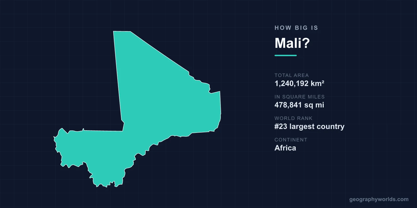
Mali covers a total area of 1,240,192 km² (478,841 sq mi), making it the 23rd largest country in the world and the eighth largest in Africa. This vast, landlocked West African nation is roughly the same size as South Africa, larger than France and Germany combined, and accounts for about 0.83% of the Earth's total land surface.
Mali's Area in Numbers
At 1,240,192 square kilometres, Mali is one of the giants of the African continent. To translate that figure into more familiar terms, it equals 478,841 square miles, or roughly 0.83% of the planet's 148.94 million km² of land. Among the world's 195 or so countries, only 22 are larger, placing Mali firmly in the top tier of nations by size.
- Total area: 1,240,192 km² (478,841 sq mi)
- World rank: 23rd largest country
- Continent: Africa (8th largest African country)
- Share of world land: about 0.83%
- Capital: Bamako
- Coastline: none (landlocked)
How Far Does Mali Stretch?
Mali's borders enclose an enormous, irregular shape that reaches deep into the Sahara. The country spans roughly 1,900 km from its northern desert frontier down to its greener southern edge, and about 1,800 km from east to west at its widest. Crossing the country by road can mean travelling thousands of kilometres through dramatically different landscapes.
Despite covering more than 1.2 million km², Mali has no coastline at all. It is bordered by seven countries — Algeria, Niger, Burkina Faso, Côte d'Ivoire, Guinea, Senegal and Mauritania — which gives it one of the longest combined land borders of any West African state. The nearest ocean access is hundreds of kilometres away through neighbouring nations.
Size Comparisons That Put Mali in Perspective
Numbers like 1.24 million km² are hard to picture, so comparisons help. Mali is almost identical in size to South Africa, and you could fit the entire United Kingdom inside its borders about five times over. Compared with France (640,679 km²), Mali is roughly 1.9 times larger, and it comfortably exceeds the combined area of France and Germany.
Placed against the United States, Mali is a little smaller than the combined size of Texas and California. Within Africa, it ranks behind only Algeria, the Democratic Republic of the Congo, Sudan, Libya, Chad, Niger and Angola — meaning it is larger than well-known nations such as Nigeria, Egypt and Tanzania in land area terms. For a more interactive way to learn these comparisons, try our geography games.
What Fills All That Space
Mali's huge footprint is dominated by desert. The northern two-thirds of the country lie within the Sahara, an expanse of sand seas, rocky plateaus and almost empty horizons where very few people live. Roughly 65% of the national territory is classed as desert or semi-desert, which is why the population is concentrated overwhelmingly in the wetter south.
Moving southward, the landscape shifts into the Sahel — a band of semi-arid grassland and scrub — and finally into wetter savanna near the borders with Guinea and Côte d'Ivoire. The lifeline running through this gradient is the Niger River, which makes a great arc, or "bend," through the heart of Mali. Along its course lies the Inland Niger Delta, a seasonal floodplain of roughly 30,000 km² that swells into a vast network of lakes, channels and wetlands during the rains — an astonishing oasis in the middle of the Sahel that sustains over a million head of cattle and is vital to West African food security.
Mali's terrain is mostly flat to gently rolling, with few dramatic heights. Its highest point, Hombori Tondo, reaches just 1,155 m (3,789 ft). The most striking landform is the Bandiagara Escarpment, a sandstone cliff rising around 500 m above the surrounding plains and famous as the homeland of the Dogon people.
A Land of Historic Crossroads
Mali's size has always carried strategic and cultural weight. The medieval Mali and Songhai empires controlled trans-Saharan trade routes that crossed these very deserts, and the legendary city of Timbuktu became one of the world's great centres of learning, with libraries holding hundreds of thousands of manuscripts on astronomy, mathematics and medicine dating back to the 13th century. The Great Mosque of Djenné, the largest mud-brick building on Earth, is replastered each year in a community festival — a living monument set within Mali's southern river country. To learn more about the nation as a whole, see our mali country guide.
Frequently Asked Questions
Is Mali bigger than France?
Yes. Mali is about 1.9 times the size of France. At 1,240,192 km² compared with France's 640,679 km², Mali could hold France nearly twice over, and it exceeds the combined area of France and Germany.
What rank is Mali in size?
Mali is the 23rd largest country in the world and the eighth largest in Africa, surpassed on the continent only by nations such as Algeria, the DR Congo, Sudan, Libya, Chad, Niger and Angola.
Does Mali have a coastline?
No. Mali is landlocked, bordered by seven countries with no access to the sea. Its most important waterway is the Niger River, which provides water, transport and fertile floodplains across an otherwise arid land.
How much of Mali is desert?
Around 65% of Mali is desert or semi-desert, mostly the Saharan north. The population and most agriculture are concentrated in the wetter south, especially along the Niger River and its inland delta.
