
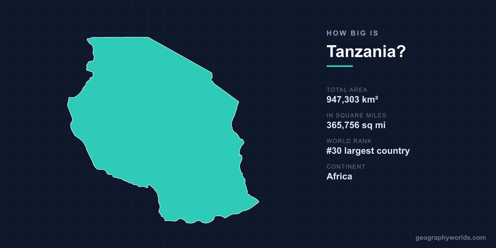
Tanzania covers a total area of 947,303 km² (365,756 sq mi), making it the 30th largest country in the world — roughly one-quarter the size of the United States and the largest country in East Africa. Stretching from the Indian Ocean coast to the Great Lakes of the African interior, it packs an astonishing range of landscapes into a single national border, from snow-capped peaks to tropical islands and vast savanna plains.
Just How Large Is 947,303 km²?
At nearly 950,000 square kilometres, Tanzania accounts for about 0.64% of the Earth's total land surface of roughly 148.94 million km². That makes it bigger than any other country in East Africa and comfortably larger than its neighbours Kenya and Uganda. On a global scale it sits just outside the top 25, ranking 30th — ahead of well-known countries such as Egypt and Nigeria in some sources, and only slightly smaller than them depending on how inland waters are counted.
One reason Tanzania's figures can vary slightly between sources is its vast inland water area. The country contains parts of three of Africa's Great Lakes, and these huge bodies of water make up a meaningful share of the total. Of the headline 947,303 km², roughly 60,000 km² is water, leaving a land area of about 885,800 km². This is why some reference works quote a smaller "land area" figure while others use the larger total that includes lakes and rivers.
Key Facts
- Total area: 947,303 km² (365,756 sq mi)
- World ranking: 30th largest country
- Land area: approximately 885,800 km²
- Inland water: roughly 60,000 km², including parts of three Great Lakes
- Coastline: about 1,424 km along the Indian Ocean
- Highest point: Mount Kilimanjaro, 5,895 m (19,341 ft)
- Land borders: eight neighbouring countries
Tanzania's Dimensions and Shape
Tanzania measures roughly 1,200 km from north to south and around 1,100 km from east to west, giving it a fairly compact, rounded shape rather than a long thin one. This relatively even spread means no single point is extremely remote from the centre — though crossing the country still involves traversing dramatically different environments. Its coastline along the Indian Ocean runs for about 1,424 km, including the islands of the Zanzibar Archipelago, which add hundreds of kilometres of additional shoreline.
The country borders eight nations — Kenya, Uganda, Rwanda, Burundi, the Democratic Republic of the Congo, Zambia, Malawi, and Mozambique — more land neighbours than almost any other African state. Many of these borders run through or along the Great Lakes, so Tanzania's frontiers are defined as much by water as by land. This central position helps explain why Tanzania shares so many of the continent's major lakes and why its borders trace the edges of several inland seas.
How Tanzania Compares to Other Countries
Size comparisons make the scale easier to grasp:
- United States: Tanzania is about one-quarter the size, fitting roughly four times over within the lower 48 states.
- France (640,679 km²): Tanzania is about 148% the size — roughly half again as large.
- Japan (377,975 km²): Tanzania is about 251% the size, or two and a half times bigger.
- Texas (≈696,000 km²): Tanzania is noticeably larger than the biggest of the contiguous US states.
- United Kingdom (≈243,000 km²): Nearly four UKs would fit inside Tanzania.
- Germany (357,000 km²): Tanzania is more than two and a half times larger.
Put another way, you could combine Kenya and Uganda and still have a country slightly smaller than Tanzania alone. Within Africa, Tanzania ranks among the ten largest nations, trailing giants like Algeria, the Democratic Republic of the Congo, and Sudan but standing well ahead of most of its eastern and southern neighbours.
The Terrain Within Tanzania's Borders
What makes Tanzania's size so remarkable is the variety squeezed into it. The eastern coastal lowlands give way to a broad central plateau averaging 1,000–1,500 m above sea level, while the Great Rift Valley slices through the west and divides into branches that cradle enormous lakes.
The highest point is Mount Kilimanjaro at 5,895 m (19,341 ft), Africa's tallest peak and the largest freestanding mountain on Earth, rising from surrounding plains with no neighbouring range. Within the same country you can find the permanently glaciated summit of Kilimanjaro, the alkaline shallows of Lake Natron, the dense game-filled grasslands of the Serengeti, and the deep waters of Lake Tanganyika — the world's second-deepest lake. Tanzania also shares Lake Victoria, Africa's largest lake and the world's largest tropical lake, with Kenya and Uganda.
This geographic richness is part of why so much of the land is protected. Roughly a third of Tanzania's territory is set aside as national parks, game reserves, and conservation areas, including the Serengeti and the Ngorongoro Crater — the world's largest intact volcanic caldera at about 19 km across. For more on the country's geography, history, and culture, see our Tanzania country guide.
Why Tanzania's Inland Water Matters
Few countries owe so much of their character to lakes. Tanzania touches three of Africa's largest: Victoria in the north, Tanganyika along the western border, and Nyasa (Lake Malawi) in the south. Together these inland seas account for the gap between Tanzania's total and land-only area figures, and they shape everything from fishing economies to regional borders.
Lake Tanganyika alone is so deep — over 1,470 m — that it holds an estimated 16% of the world's available fresh surface water. These lakes also moderate local climates, support dense human settlement along their shores, and serve as natural transport corridors. When you read that Tanzania is the "largest country in East Africa," much of that distinction comes from the way its borders sweep around these vast bodies of water.
Climate Across the Country
A country this large naturally spans several climate zones. The coast and islands are hot and humid with two rainy seasons; the central plateau is semi-arid; and the northern and southern highlands are cooler and temperate thanks to their elevation. This means that on any given day, conditions in coastal Dar es Salaam can be tropical and steamy while the slopes of Kilimanjaro or the Ngorongoro highlands feel crisp and cool. Elevation, more than latitude, is the main driver of these differences — a reminder that Tanzania's size is measured not just across the map but vertically, from sea level to nearly 6,000 metres.
Frequently Asked Questions
Is Tanzania bigger than Kenya?
Yes. Tanzania (947,303 km²) is considerably larger than Kenya (about 580,000 km²). Tanzania is the largest country in East Africa by area.
What rank is Tanzania in size?
Tanzania is the 30th largest country in the world by total area, and one of the ten largest in Africa.
How does Tanzania compare to the United States?
Tanzania is roughly one-quarter the size of the United States, meaning about four Tanzanias would fit within the contiguous US.
What is the highest point in Tanzania?
Mount Kilimanjaro at 5,895 m (19,341 ft) is Tanzania's highest point and the tallest mountain in all of Africa.
How much of Tanzania is water?
About 60,000 km² of Tanzania's total area is inland water, including parts of Lake Victoria, Lake Tanganyika, and Lake Nyasa, leaving a land area of roughly 885,800 km².