
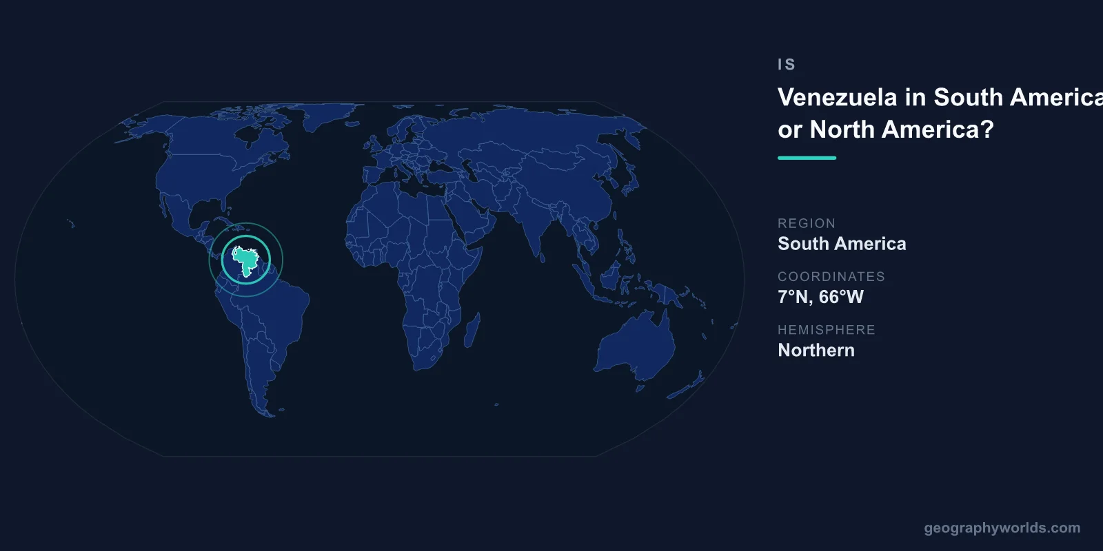
Venezuela is in South America, located along the northern coast of the continent where it meets the Caribbean Sea. Although its tropical beaches, island culture, and proximity to Caribbean nations sometimes cause confusion, Venezuela is firmly a South American country. Its mainland occupies the northernmost edge of the continent, sharing land borders with Colombia, Brazil, and Guyana.
Where Exactly Is Venezuela?
Venezuela sits in the far north of South America, between roughly 1°N and 12°N latitude and 60°W and 73°W longitude. This places the entire country in the Northern Hemisphere, even though it belongs to the southern continent. Its capital, Caracas, lies just inland from the Caribbean coast.
The country is bordered by the Caribbean Sea and the Atlantic Ocean to the north and northeast, Colombia to the west, Brazil to the south, and Guyana to the east. With an area of about 916,445 km², Venezuela is one of the larger nations in South America, roughly twice the size of California. Its long coastline of more than 2,800 kilometers stretches along the Caribbean, giving the country its strong maritime identity.
Why People Confuse Venezuela's Continent
The mix-up is understandable. Venezuela faces the Caribbean Sea, and its northern shores, including the popular resort island of Margarita, have a distinctly tropical, island-like atmosphere. Many of the Caribbean islands that lie nearby — including those geographers group with North America — share music, cuisine, and cultural rhythms with coastal Venezuela.
The country is also remarkably close to Trinidad and Tobago, with the narrowest gap between them measuring only about 11 kilometers. Venezuela's political and economic ties to Caribbean states, along with its oil-trading relationships, reinforce a Caribbean flavor in everyday life. Yet none of this changes the geographic fact: the Venezuelan mainland rests entirely on the South American continental landmass.
A Continent of Dramatic Landscapes
Venezuela's South American geography is extraordinarily varied. In the west, the Andes Mountains rise into the country, with Pico Bolívar reaching nearly 5,000 meters. The central region is dominated by the Llanos, vast tropical grasslands that flood seasonally and teem with wildlife such as capybaras, caimans, and scarlet ibis.
To the southeast lie the Guiana Highlands, home to the tepuis — flat-topped table mountains that inspired the setting of films and novels. It is here that Angel Falls (Salto Ángel) plunges 979 meters, making it the highest uninterrupted waterfall on Earth. In the northwest, the Lake Maracaibo basin holds one of the largest lakes in South America and some of the planet's richest oil reserves. These features are unmistakably continental and have nothing in common with the small islands of the Caribbean.
How Geographers Define the Boundary
The dividing line between North and South America is conventionally drawn at the Isthmus of Panama, far to the northwest of Venezuela. Everything south and east of that narrow land bridge — including Colombia, Venezuela, Brazil, and the rest of the southern landmass — belongs to South America. The Caribbean islands, by contrast, are usually classified as part of North America or treated as a distinct subregion.
Because Venezuela's territory lies entirely south and east of Panama and is physically connected to the continental mainland, it is never classified as North American. It is consistently listed as a South American country by the United Nations, atlases, and geographic authorities. To learn more about its regions, cities, and culture, see our venezuela country guide.
Quick Facts at a Glance
- Continent: South America
- Capital: Caracas
- Area: approximately 916,445 km²
- Population: roughly 28 million
- Official language: Spanish
- Notable landmark: Angel Falls, the world's highest waterfall at 979 m
Frequently Asked Questions
Is Venezuela part of the Caribbean?
Venezuela is a South American country with a Caribbean coastline. It is often included in the "Caribbean region" for cultural and economic purposes because it borders the Caribbean Sea and controls several islands, but the mainland is geographically South American.
Which countries border Venezuela?
Venezuela shares land borders with three countries: Colombia to the west, Brazil to the south, and Guyana to the east. To the north it has maritime boundaries with Caribbean island nations such as Trinidad and Tobago.
Is Venezuela in the Northern or Southern Hemisphere?
Despite being part of South America, all of Venezuela lies in the Northern Hemisphere, just north of the equator. This is one reason the question of its continent can feel confusing.
What is Venezuela's most famous geographic feature?
Angel Falls in the Guiana Highlands is Venezuela's most celebrated natural wonder. Dropping 979 meters, it is the tallest uninterrupted waterfall in the world and a defining symbol of the country's South American terrain.