
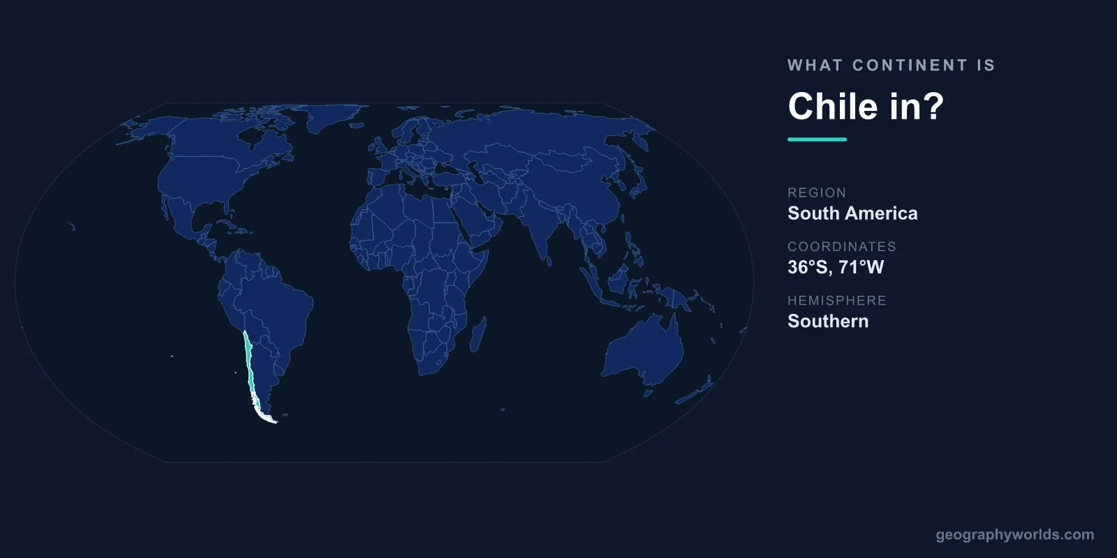
Chile is located in South America, occupying the southwestern edge of the continent along the Pacific Ocean. It is one of the twelve sovereign nations that make up South America, sitting on the western flank of the continent between the towering Andes Mountains and the sea. Although it is unmistakably a South American country, Chile is so unusually shaped — long and thin — that its single landmass reaches across an extraordinary span of latitudes, touching environments from scorching desert to polar ice.
Where Exactly Is Chile in South America?
Chile runs down the western coast of South America like a ribbon. It stretches roughly 4,300 km from north to south, which makes it the longest country in the world measured along that axis, yet it averages only about 177 km wide. To picture it, imagine a strip of land that would reach from Norway to North Africa if laid across Europe, but never grows wider than a short drive from coast to mountain.
Its capital, Santiago, lies in the central part of the country, roughly midway down its length. In the far north sits the Atacama Desert; the far south dissolves into the islands, fjords, and channels of Patagonia, ending near Cape Horn — one of the southernmost inhabited regions on Earth. With a total area of about 756,102 km², Chile is a mid-sized country by area, but its geography punches far above that figure.
Which Continent and Region?
- Continent: South America
- Subregion: Western (Pacific-facing) South America
- Capital: Santiago
- Area: 756,102 km²
- Coastline: Over 6,000 km along the Pacific Ocean
Chile is firmly part of South America, sharing the continent with neighbours such as Argentina, Bolivia, Peru, Brazil, and Colombia. It belongs to the western, Pacific-facing portion of the continent rather than the Atlantic side. Geographers often group it with Peru and Ecuador as part of the Andean nations because of the mountain spine that defines its eastern border.
Chile's Borders and Neighbours
Chile shares land borders with three South American countries, all to its north and east. The Andes Mountains form a natural wall along most of the eastern frontier.
- Argentina (east): The two countries share a border of roughly 5,300 km, one of the longest land borders in the world, running almost the entire length of Chile through the high Andes.
- Bolivia (northeast): A shorter, mountainous border in the high-altitude Altiplano region.
- Peru (north): The northern boundary cuts across the arid coastal desert.
To the west, there is no land neighbour at all — only the vast Pacific Ocean. This maritime orientation has shaped Chilean culture, fishing, and trade for centuries, and it explains why nearly every major Chilean city has a strong coastal connection.
One Country, Many Worlds
Because Chile spans so many degrees of latitude, it contains an astonishing range of landscapes within a single South American nation. The north is dominated by the Atacama Desert, widely regarded as the driest non-polar place on Earth — some weather stations there have never recorded measurable rainfall, and NASA uses its terrain to test Mars rovers. Central Chile enjoys a mild Mediterranean climate, ideal for the vineyards that make the country a famous wine producer. Further south, the land turns green and wet, giving way to temperate rainforests, lakes, and volcanoes.
At the southern extreme lie the glaciers, fjords, and ice fields of Patagonia and Tierra del Fuego, where the climate becomes sub-polar. Towering over the eastern border is Ojos del Salado at 6,893 m, the highest active volcano on the planet, straddling the frontier with Argentina. This dramatic north-to-south gradient is exactly why Chile is often described as one of the most geographically extreme countries in South America.
Chile's Pacific and Antarctic Reach
Chile's territory extends well beyond the South American mainland. In the Pacific Ocean, about 3,500 km off the coast, lies Easter Island (Rapa Nui), famous for its monumental moai statues — politically part of Chile but geographically in Polynesia. The country also administers the Juan Fernández Islands and other Pacific outposts. In addition, Chile maintains a formal claim to a wedge of Antarctica, known as the Chilean Antarctic Territory, reflecting its proximity to the southern continent. These holdings mean that while Chile's heartland is unambiguously South American, its full footprint touches the Pacific and the Antarctic regions too. To explore more about the country, see our chile country guide.
Frequently Asked Questions
Is Chile in North or South America?
Chile is in South America. It lies on the continent's western coast, far to the south, sharing borders only with Argentina, Bolivia, and Peru — all South American countries.
Is Chile part of Central America?
No. Central America refers to the narrow land bridge connecting North and South America, including countries like Guatemala and Panama. Chile is a separate South American nation thousands of kilometres further south.
What ocean borders Chile?
The Pacific Ocean borders Chile along its entire western coastline, which stretches more than 6,000 km. There is no land neighbour to the west.
Why is Chile so long and narrow?
Chile is squeezed between the Andes Mountains and the Pacific Ocean. These two natural barriers limit how far east the country can expand, while it stretches enormously from north to south, producing its famously ribbon-like shape.