
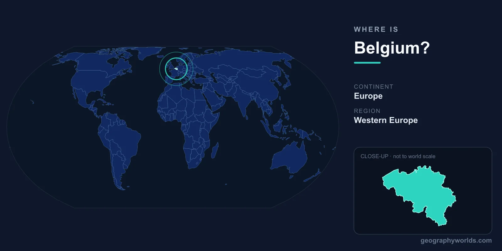
Belgium is located in northwestern Europe, bordered by the Netherlands, Germany, Luxembourg, and France, with a short 67-kilometre coastline on the North Sea. This compact federal kingdom sits at the heart of Western Europe, covering roughly 30,528 square kilometres, and its capital, Brussels, lies near the country's centre. Positioned at the meeting point of the Germanic and Latin worlds, Belgium has long served as a cultural and commercial crossroads of the continent.
Where Exactly Is Belgium on the Map?
Belgium lies in the Northern and Eastern Hemispheres, between roughly 49.5 and 51.5 degrees north latitude and 2.5 to 6.4 degrees east longitude. That places it at a similar latitude to the southern tip of the United Kingdom and to Newfoundland in Canada. The country forms part of the region geographers call the Low Countries, alongside the Netherlands and Luxembourg, named for the flat, low-lying terrain that dominates much of the area.
Belgium's location is strategically central. Brussels, its capital, is only about 300 kilometres from London, Paris, and Amsterdam, making it one of the most centrally placed capitals in Western Europe. This is a major reason the city hosts the headquarters of the European Union and NATO. For a wider overview, see our belgium country guide.
Which Countries Border Belgium?
Belgium shares land borders with four countries, and these neighbours have shaped its history, languages, and trade for centuries:
- Netherlands – to the north, sharing the longest of Belgium's land borders
- Germany – to the east, along a shorter frontier near the Ardennes
- Luxembourg – to the southeast, the smallest of its neighbours
- France – to the south and southwest, a long-standing cultural and linguistic influence
To the northwest, Belgium opens onto the North Sea through the port of Zeebrugge and the seaside town of Ostend. Although the coastline is short, it has historically connected Belgium to maritime trade with Britain and the wider Atlantic world.
The Landscape: From Coast to the Ardennes
Despite its small size, Belgium has surprisingly varied terrain that broadly divides into three regions. In the northwest, the coastal plain rises gently from sandy beaches and polders, much of it reclaimed from the sea and protected by dunes. Moving inland, the central plateaus form a band of gently rolling, fertile farmland where most of the population lives and where cities such as Brussels and Ghent developed.
In the southeast lies the Ardennes, a forested upland of hills, deep river valleys, and woodland that contrasts sharply with the flat north. Belgium's highest point, the Signal de Botrange, reaches just 694 metres and sits in this region within the High Fens nature reserve. Major rivers including the Meuse (Maas) and the Scheldt (Schelde) drain the country and have long powered industry and trade.
Why Belgium's Location Matters
Belgium's position at Europe's crossroads has made it both prosperous and, at times, vulnerable. Its flat, accessible plains earned it the grim nickname "the battlefield of Europe," and it was a focal point during both World Wars, with the fields of Flanders becoming etched into history. The same central location, however, made Belgium an early industrial power in the 19th century and later a natural home for European institutions.
Today that central placement underpins Belgium's role in global diplomacy and logistics. The Port of Antwerp is one of the largest in Europe, and Brussels functions as the de facto capital of the European Union. The country's three official languages—Dutch in the north (Flanders), French in the south (Wallonia), and German in a small eastern area—directly reflect its position between Germanic and Latin cultural spheres. Belgium operates as a federal parliamentary constitutional monarchy, uses the euro as its currency, and observes Central European Time (UTC+1).
Frequently Asked Questions
What continent is Belgium on?
Belgium is on the continent of Europe, specifically in the northwestern part of Western Europe. It is one of the three Low Countries, together with the Netherlands and Luxembourg.
What is the capital of Belgium and where is it?
The capital is Brussels, located roughly in the centre of the country. Brussels is also home to the main institutions of the European Union, including the European Commission and the Council of the European Union.
Does Belgium have a coastline?
Yes. Belgium has a short coastline of about 67 kilometres along the North Sea in the northwest, featuring resort towns such as Ostend and the major port of Zeebrugge.
How big is Belgium compared to other countries?
Belgium covers about 30,528 square kilometres, making it one of the smaller countries in Europe—roughly comparable in size to Slovenia, or about the size of the US state of Maryland.