
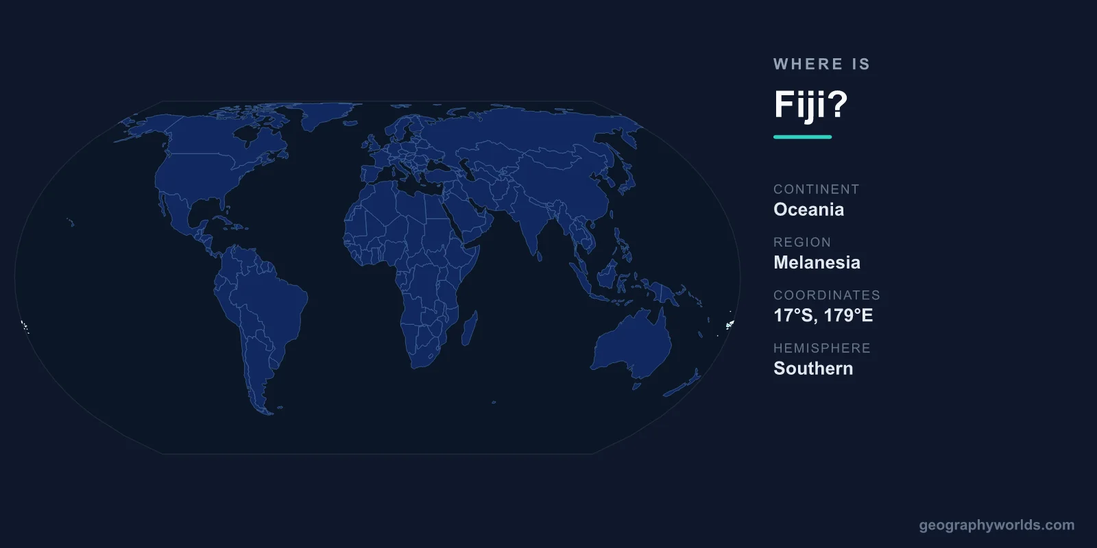
Fiji is a South Pacific island nation in the Melanesia subregion of Oceania, made up of more than 330 islands roughly 2,000 kilometres north of New Zealand and about 5,100 kilometres southwest of Hawaii. It sits in the heart of the tropical South Pacific, straddling the 180th meridian, with its capital at Suva on the largest island, Viti Levu. The country has no land borders — it is surrounded entirely by the Pacific Ocean and spans both the Eastern and Western hemispheres.
Where Exactly Is Fiji on the Map?
Fiji lies in the Southern and Eastern Hemispheres, centred near 18° south latitude and 178° east longitude. That places it deep in the tropical Pacific, at the cultural and geographic crossroads where Melanesia meets Polynesia. To picture it, imagine a triangle of ocean between three reference points: New Zealand sits about 2,000 kilometres to the south, Sydney in Australia about 2,800 kilometres to the southwest, and Honolulu in Hawaii some 5,100 kilometres to the northeast.
One of Fiji's most distinctive quirks is that it sits squarely on the 180th meridian, the line of longitude opposite the Prime Meridian. The International Date Line, which roughly follows this meridian, bends eastward around the archipelago so that the entire country shares a single calendar day and time zone. On the island of Taveuni you can stand astride a marked point and place one foot in the eastern hemisphere and one in the western. This mid-Pacific position has also made Fiji the region's aviation hub, with Nadi International Airport serving as the main gateway to and from the South Pacific. Flights connect Fiji to Auckland, Sydney, Los Angeles, Tokyo and Hong Kong, and many travellers heading to smaller Pacific nations such as Tuvalu or Tonga transit through Nadi.
What Continent Is Fiji In?
Fiji is not part of any continental landmass. It belongs to Oceania, the geographic region that encompasses the islands of the Pacific along with Australia and New Zealand. Within Oceania, Fiji falls specifically in Melanesia, the subregion that also includes Papua New Guinea, the Solomon Islands, Vanuatu and New Caledonia. Culturally, however, Fiji is a meeting point: while it is geographically Melanesian, centuries of contact and migration mean Polynesian influences run strongly through its language, chiefly traditions and art. This blend is part of what makes Fiji feel like the symbolic centre of the South Pacific.
An Archipelago of More Than 330 Islands
Fiji is not a single island but a sprawling archipelago of over 330 islands and around 500 smaller islets, spread across roughly 1.3 million square kilometres of ocean. Only about 110 of these islands are permanently inhabited. The total land area comes to approximately 18,274 square kilometres, a little smaller than the US state of New Jersey, but the two biggest islands dominate the picture.
- Viti Levu is the largest island at 10,389 km² and home to the capital, Suva, the tourist gateway of Nadi, and around 70 percent of the population.
- Vanua Levu, the second-largest at 5,556 km², lies to the northeast and is known for sugarcane farming and a quieter tourism scene.
- Taveuni, the lush "Garden Island," is famous for rainforest, waterfalls, and the 180th meridian running through it.
- Kadavu sits to the south and is ringed by the Great Astrolabe Reef, one of the largest barrier reefs on Earth.
- The Mamanuca and Yasawa groups west of Viti Levu are the postcard islands of white sand and turquoise lagoons.
Together, Viti Levu and Vanua Levu account for around 87 percent of Fiji's land area. The larger islands are volcanic in origin, with rugged, rainforest-clad mountains, while many of the smaller ones are low coral and limestone islets fringed by reefs. Beyond the main groups lie the remote Lau Islands in the east and the isolated Rotuma to the north, whose people have their own distinct language and culture.
What Surrounds Fiji?
As an island nation, Fiji has no land borders, only ocean. Its nearest neighbours across the water include:
- Tonga — about 750 km to the southeast
- Tuvalu — about 1,050 km to the north
- Samoa — about 1,100 km to the northeast
- Vanuatu — about 1,100 km to the west
- New Caledonia (France) — about 1,200 km to the southwest
- New Zealand — about 2,000 km to the south
Fiji's exclusive economic zone covers roughly 1.29 million square kilometres of sea — about 70 times its land area — making the country far larger as a maritime territory than its modest landmass suggests. For more on the country itself, see our fiji country guide.
Landscape and Climate
The volcanic high islands give Fiji a dramatic interior. The highest point is Mount Tomanivi (formerly Mount Victoria) on Viti Levu, rising 1,324 metres above sea level. Rivers such as the Rewa, Fiji's longest, carve through the highlands before reaching fertile coastal deltas where most farming and settlement occur. Because Fiji sits along the Pacific Ring of Fire, it experiences occasional seismic activity, though damaging earthquakes are uncommon.
The climate is tropical maritime, cooled by the southeast trade winds, with coastal temperatures averaging around 25–31°C all year. A wet season runs from November to April and a drier season from May to October. The eastern, windward coasts are notably wetter than the western leeward ones — Suva receives over 3,000 mm of rain a year, while Nadi on the dry side gets roughly 1,800 mm. This is why most large resorts cluster along the sunnier western and northern coasts of Viti Levu. Fiji lies within the South Pacific cyclone belt, and Cyclone Winston in 2016 ranks among the most powerful storms ever recorded in the Southern Hemisphere.
Key Facts
- Region: Melanesia, Oceania (South Pacific Ocean)
- Coordinates: roughly 18° S, 178° E
- Capital: Suva (on Viti Levu)
- Number of islands: more than 330, plus around 500 islets
- Total land area: approximately 18,274 km²
- Highest point: Mount Tomanivi, 1,324 m
- Main gateway: Nadi International Airport, western Viti Levu
Frequently Asked Questions
What continent is Fiji in?
Fiji is part of Oceania, specifically the Melanesia subregion of the South Pacific. It is not attached to any continental landmass; it is an independent island nation surrounded entirely by the Pacific Ocean.
Is Fiji near Australia or New Zealand?
It is closer to New Zealand, lying about 2,000 kilometres to the north of it, while Sydney, Australia, is roughly 2,800 kilometres to the southwest. Flights from both countries to Fiji typically take around three to four hours.
What is the capital of Fiji and where is it?
The capital is Suva, on the southeastern coast of Viti Levu, Fiji's largest island. It is the country's main port and largest urban centre, while Nadi on the west coast handles most international air arrivals.
Why does Fiji sit on the International Date Line?
Fiji straddles the 180th meridian, the natural location of the date line. The line is drawn to curve around the country so all of its islands stay on the same day, but on Taveuni you can still stand on a point marking the boundary between hemispheres.
