
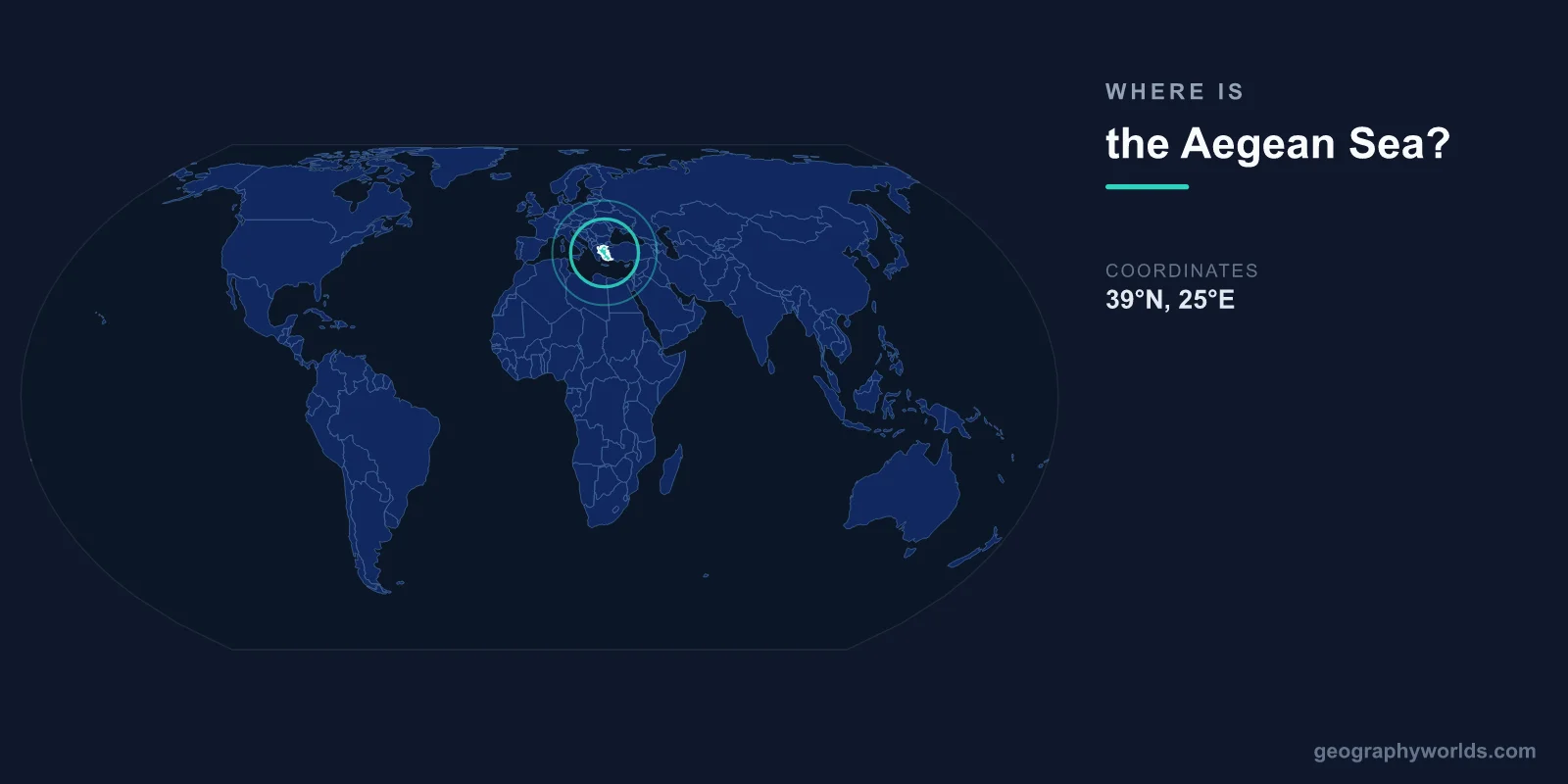
The Aegean Sea is located in the eastern Mediterranean, centered at approximately 39°N latitude and 25°E longitude. It lies between Greece to the west and north, Turkey to the east, and the island of Crete to the south. It connects to the Black Sea through the Dardanelles, the Sea of Marmara, and the Bosporus to the northeast.
Introduction
Covering approximately 214,000 square kilometers, the Aegean is one of the most island-rich seas in the world, containing roughly 2,000 islands and islets. Many of these islands — including Crete, Rhodes, Lesbos, and the Cyclades — are among the most famous and visited places in the Mediterranean.
Exact Location & Coordinates
- Center Coordinates: 39°N, 25°E
- Region: Eastern Mediterranean, between Greece and Turkey
- Connected To: Mediterranean, Black Sea via Turkish Straits
On a world map, the Aegean Sea occupies the space between mainland Greece and western Turkey. It is easily found by locating Greece's fragmented eastern coastline and the bulge of Turkey's western Anatolian coast. The Aegean opens to the broader Mediterranean to the south, between the Peloponnese and Crete.
The Dardanelles strait at the Aegean's northeastern corner connects it to the Sea of Marmara and ultimately the Black Sea, making the Aegean a strategic link between the Mediterranean and Black Sea basins.
Surrounding Countries & Borders
- Greece: Western and northern shores, most islands
- Turkey: Eastern shore (Anatolian coast)
- Crete (Greece): Southern boundary
Greece possesses the vast majority of Aegean islands, including the major groups: the Cyclades in the center, the Dodecanese near Turkey, the Sporades off the east coast of mainland Greece, and the North Aegean islands near the Dardanelles. The only significant Turkish Aegean islands are Bozcaada (Tenedos) and Gokceada (Imbros) near the Dardanelles entrance.
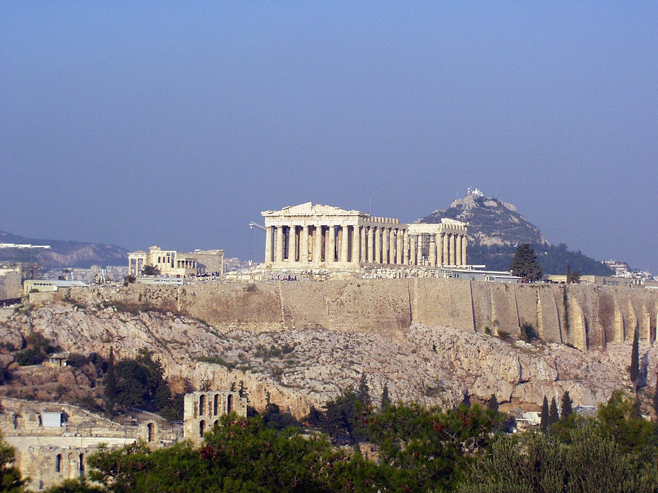
Turkey's Aegean coast includes the major cities of Izmir (ancient Smyrna), Bodrum, and Kusadasi, as well as the ruins of ancient Ephesus and Troy. The Greek mainland coast features Thessaloniki in the north and Athens further south, with its port of Piraeus serving as the major hub for island ferries.
Geographic Context
- Part Of: Eastern Mediterranean Sea
- Number of Islands: ~2,000 (200+ inhabited)
- Key Straits: Dardanelles (connecting to Sea of Marmara)
The Aegean's islands are the remnants of a land mass that once connected Greece and Turkey. As the Aegean basin subsided through geological faulting, the mountains became islands and the valleys became sea channels. This explains why island-hopping across the Aegean requires only short sea crossings — the islands form stepping stones between the continents.
The Aegean is divided into several traditional island groups. The Cyclades (Mykonos, Santorini, Naxos) form a rough circle in the central sea. The Dodecanese (Rhodes, Kos) lie near Turkey's southwestern coast. The Sporades are off eastern Greece, and the larger North Aegean islands (Lesbos, Chios, Samos) sit close to the Turkish coast.
Physical Characteristics
- Area: 214,000 km²
- Maximum Depth: 3,543 m (east of Crete)
- Average Depth: 570 m
- Salinity: ~39 ppt (higher than western Mediterranean)
The Aegean Sea's depth varies considerably. The northern Aegean rarely exceeds 200 meters, but the southern Aegean contains deep basins, with the maximum depth of 3,543 meters found in the Cretan Sea east of Crete. Volcanic activity is ongoing, most notably at Santorini, whose caldera was formed by one of the largest volcanic eruptions in recorded history around 1600 BCE.
The Aegean has higher salinity than the western Mediterranean, roughly 39 parts per thousand, due to high evaporation rates and limited freshwater inflow. Its waters are exceptionally clear and blue, a result of low nutrient levels and high transparency. The meltemi winds blow strongly from the north during summer, creating challenging sailing conditions.
Why It Matters
- Civilization: Birthplace of ancient Greek culture and democracy
- Tourism: Among the world's top island destinations
- Strategy: Control of Dardanelles has shaped world history
The Aegean Sea is the cradle of Western civilization. Ancient Greek city-states arose along its shores and islands, developing democracy, philosophy, drama, and science. The Minoan civilization on Crete (3000-1450 BCE) and the maritime culture of the Cyclades were among Europe's earliest advanced societies.
Today, the Aegean is one of the world's premier tourist destinations. Islands like Santorini, Mykonos, Crete, and Rhodes attract millions of visitors annually with their white-washed villages, archaeological ruins, and azure waters. Control of the Dardanelles at the Aegean's entrance to the Black Sea has been a strategic objective for centuries, from the ancient Persian Wars to the Gallipoli campaign of World War I.
Key Facts
- The Aegean Sea is centered at approximately 39°N, 25°E between Greece and Turkey.
- It covers about 214,000 km² and contains roughly 2,000 islands and islets.
- It connects to the Black Sea through the Dardanelles and Bosporus.
- Maximum depth reaches 3,543 m in the Cretan Sea.
- The Aegean was the cradle of ancient Greek civilization and Western democracy.
Fun Facts
- Santorini's caldera was created by one of the largest volcanic eruptions in history (~1600 BCE).
- The word "archipelago" originally referred specifically to the Aegean Sea.
- The Aegean Sea may be named after the mythological King Aegeus, who drowned himself in it.
- Only about 200 of the Aegean's ~2,000 islands are inhabited.
Final Thoughts
The Aegean Sea lies between Greece and Turkey at approximately 39°N, 25°E, scattered with roughly 2,000 islands that form the historic heartland of Western civilization. From the Minoan palaces of Crete to the white-washed villages of Santorini, the Aegean's islands are among the most recognized and visited places on Earth. Its strategic position connecting the Mediterranean and Black Sea makes it an enduring landmark on the world map.
Test Your Knowledge!
Think you know where things are on the map? Test your skills!
Play Geography Games →