
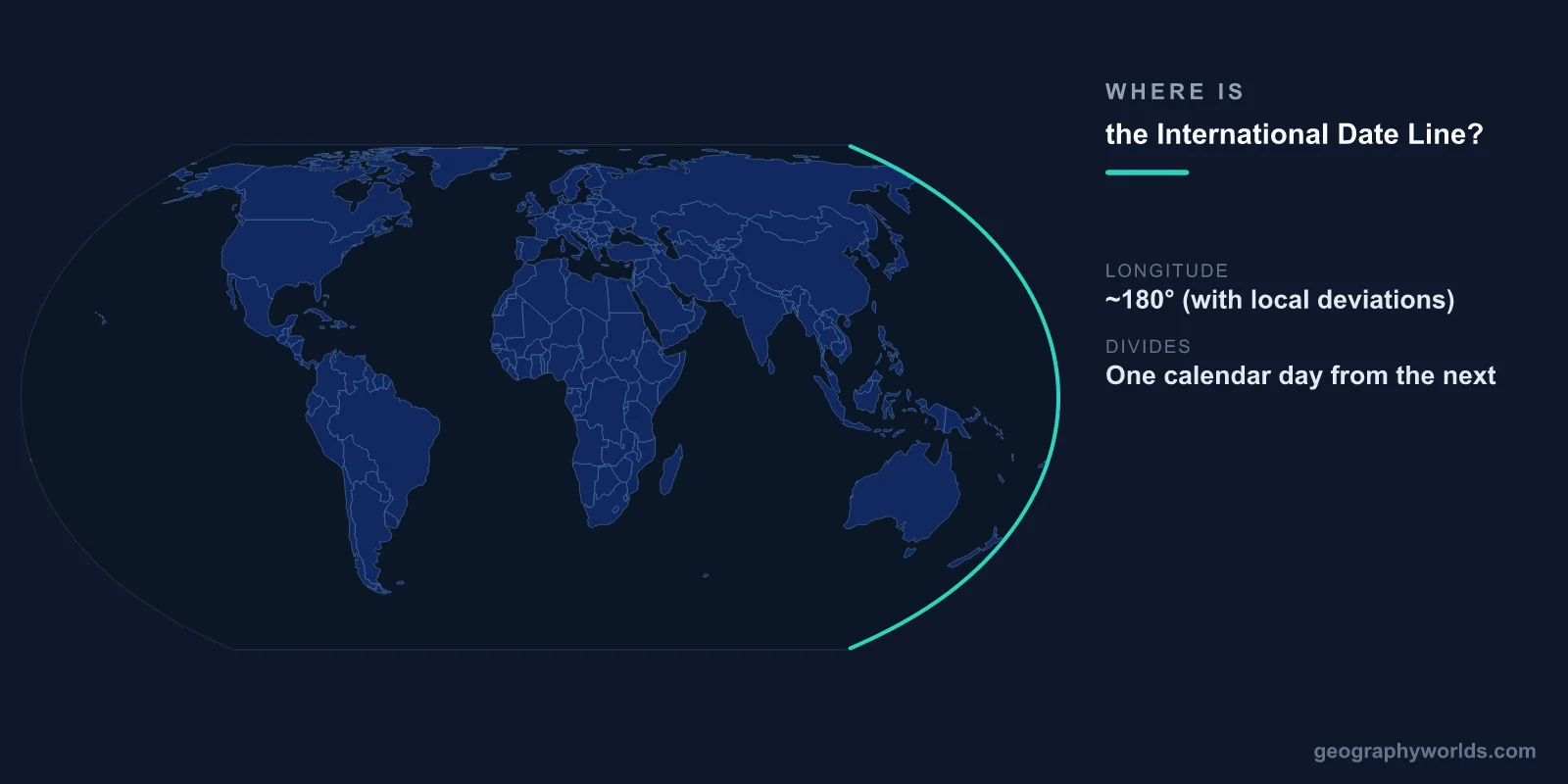
The International Date Line (IDL) runs roughly along the 180° meridian of longitude through the middle of the Pacific Ocean, approximately halfway around the world from the Prime Meridian in Greenwich, London. When you cross the date line traveling westward, you advance one calendar day (Monday becomes Tuesday). When you cross eastward, you go back one day (Tuesday becomes Monday).
Introduction
The date line is not a straight line along the 180° meridian but zigzags significantly to avoid dividing countries and island groups between different calendar dates. These deviations mean that the line passes through no land territory, ensuring that every nation (with minor exceptions) observes a single calendar date at any given moment.

Exact Location & Coordinates
- Base Meridian: 180° longitude
- Location: Through the Pacific Ocean, from Arctic to Antarctic
- Deviations: Zigzags around Russia (Chukotka), Aleutian Islands, Kiribati, Samoa, Tonga
- Status: Not defined by international treaty; determined by convention
On a world map, the International Date Line appears as a line running through the Pacific Ocean, roughly opposite Greenwich, England. Starting from the North Pole, it follows the 180° meridian southward, deviates eastward to keep all of Russia on the same date, then westward to keep the Aleutian Islands with Alaska (and the US), and makes several more zigzags in the South Pacific around Kiribati, Samoa, and Tonga.
The most notable deviation is around Kiribati. In 1995, Kiribati moved the date line eastward to keep its far-flung islands (spanning over 5,000 km of ocean) on the same calendar date. This created a large eastward bulge in the date line and made Kiribati's Line Islands among the first places on Earth to see each new day.
Surrounding Countries & Borders
- Russia: Chukotka Peninsula is west of the date line (same date as Moscow)
- USA: Alaska and Aleutian Islands are east of the date line
- Kiribati: Straddles the line; moved it in 1995 to unify dates
- Samoa: Switched from east to west of the line in 2011
- Tonga: West of the date line
The International Date Line is not established by any international treaty or law. Each country determines which side of the line it observes. Samoa dramatically changed its calendar in December 2011, jumping from the eastern side to the western side of the date line (skipping December 30 entirely) to align its business days with Australia and New Zealand, its major trading partners.
Russia's Chukotka Peninsula extends east of the 180° meridian, but the date line curves eastward to keep all of Russia on the same calendar date. Similarly, the date line curves westward around the Aleutian Islands to keep them with Alaska. These adjustments are practical decisions to avoid splitting jurisdictions between different days.
Geographic Context
- Prime Meridian: 0° longitude (Greenwich, London) — the date line's counterpart
- Time Zones: 24 zones, each roughly 15° of longitude wide
- Pacific Ocean: The date line runs through the least-populated ocean, minimizing disruption
- No Land Crossing: The date line is positioned to avoid crossing inhabited land
The date line exists because the Earth is divided into 24 time zones, each representing one hour of the 24-hour day. As you travel westward around the globe, each time zone adds one hour. After passing through all 24 zones, you have added 24 hours — one full day. The date line is where this accumulated day is "reset" by advancing or retreating the calendar.
The Pacific Ocean was the logical location for the date line because it is the largest and least populated ocean, minimizing the number of people and countries affected by the day change. If the date line ran through a heavily populated continent, neighboring cities could be on different calendar dates, creating enormous practical problems.
Physical Characteristics
- Length: ~18,000 km from Arctic to Antarctic
- Not a Straight Line: Zigzags significantly to accommodate national boundaries
- No Physical Marker: The line exists only on maps and in navigational convention
- Deepest Point Near Line: Pacific Ocean floor at ~5,000-6,000 m along much of its path
The International Date Line has no physical presence — no buoy, sign, or marker in the ocean indicates where it is. Ships and aircraft crossing the line simply adjust their calendars. The line's position is maintained by international convention and the practical decisions of the countries near it.
The date line runs through some of the most remote ocean on Earth. The nearest land to the 180° meridian in the open Pacific is hundreds of kilometers away in most sections. This remoteness means that the date line's exact position matters mainly for ships at sea, aircraft in transit, and the island nations whose territories approach the line.
Why It Matters
- Timekeeping: Essential for maintaining a consistent global calendar
- Business: Samoa's 2011 switch aligned it with trading partners, gaining business days
- First/Last of New Year: Kiribati's Line Islands are the first to see each new year; American Samoa is among the last
- Navigation: Ships and aircraft must adjust dates when crossing
The date line's practical importance is most visible on New Year's Eve. Kiribati's Line Islands, east of the date line but observing the western date, are among the first places to enter each new year. American Samoa, just a few hundred kilometers to the south but on the eastern side of the date line, enters the new year a full 25 hours later. Tonga and Samoa, once on the same calendar day, now differ by one full day since Samoa's 2011 switch.
For international business, the date line creates the boundary between "today" and "yesterday" (or "tomorrow"). A phone call from Tokyo to Los Angeles at noon on Tuesday reaches someone who is still experiencing Monday. Understanding the date line is essential for scheduling international meetings, shipping logistics, and airline operations across the Pacific.
Key Facts
- The International Date Line runs roughly along the 180° meridian through the Pacific Ocean.
- Crossing westward advances the calendar one day; crossing eastward goes back one day.
- The line zigzags to avoid splitting countries between different calendar dates.
- Kiribati moved the line in 1995; Samoa switched sides in 2011.
- The date line has no physical markers and is not established by any international treaty.
Fun Facts
- When Samoa switched sides of the date line in 2011, December 30 simply did not exist there that year.
- Kiribati's Line Islands are the first inhabited place to experience each new year.
- The US and Russia are separated by only 3.8 km at the closest point in the Bering Strait, but the date line runs between them — creating a 21-hour time difference.
- There is no international law defining the date line — each country decides which day to observe.
Final Thoughts
The International Date Line runs through the Pacific Ocean roughly along the 180° meridian, zigzagging to accommodate the practical needs of nations. It is a necessary convention for maintaining a consistent global calendar, marking where the accumulated time difference of traveling around the globe is reconciled. Though invisible and defined by no treaty, the date line has real consequences for the millions of people who live near it and the ships and aircraft that cross it daily.
Test Your Knowledge!
Think you know where things are on the map? Test your skills!
Play Geography Games →