
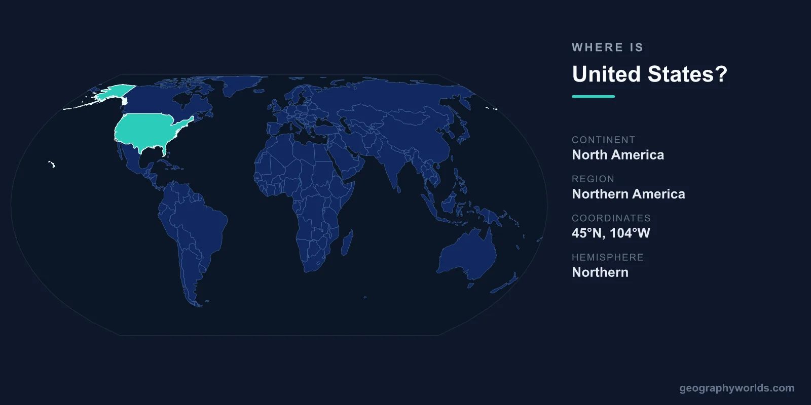
The United States is located in North America, occupying the central portion of the continent between Canada to the north and Mexico to the south, with its capital at Washington, D.C. Covering 9,833,520 km², it stretches from the Atlantic Ocean in the east to the Pacific Ocean in the west, and includes the non-contiguous states of Alaska in the far northwest and Hawaii in the central Pacific.
Where Exactly Is the United States?
The contiguous United States — the 48 states that form one connected landmass — sits between roughly 25°N and 49°N latitude and 67°W to 125°W longitude, placing the country firmly in the Northern and Western Hemispheres. Two states lie outside this block: Alaska, reaching toward the Arctic and separated from the rest of the country by western Canada, and Hawaii, an island chain about 3,800 km southwest of California in the Pacific Ocean.
Washington, D.C., the capital, sits on the East Coast along the Potomac River, while major population centers spread from New York and Boston in the northeast to Los Angeles, San Francisco, and Seattle along the Pacific. This coast-to-coast span crosses six time zones in the main 50 states.
Borders and Neighbors
The United States shares land borders with only two countries, yet both are among the longest international boundaries in the world:
- Canada — to the north, including the border with Alaska. The U.S.–Canada boundary is the longest international border on Earth at around 8,890 km.
- Mexico — to the south, spanning roughly 3,145 km from California to Texas.
To the east lies the Atlantic Ocean, to the west the Pacific Ocean, and to the southeast the Gulf of Mexico. This combination of two ocean coastlines and two friendly land neighbors has shaped American trade, defense, and migration for centuries.
A Country of Many Landscapes
Because it is the world's third- or fourth-largest country by area (depending on how territorial waters are counted), the United States contains an extraordinary range of terrain and climate. The Appalachian Mountains run along the east, the vast Great Plains fill the interior, and the Rocky Mountains and Sierra Nevada rise in the west. Between them lie deserts in the southwest, the Mississippi River basin, the Great Lakes, and the subtropical wetlands of Florida.
Climate zones range from the Arctic tundra of northern Alaska to the tropical beaches of Hawaii, with humid continental, arid, Mediterranean, and humid subtropical regions in between. The highest point is Denali in Alaska (6,190 m) and the lowest is Death Valley in California (86 m below sea level).
How Big and How Far Across?
At 9,833,520 km², the United States is comparable in size to all of Europe or to China. Driving across the contiguous states from coast to coast covers roughly 4,500 km and takes about 40 hours of non-stop driving. The country's enormous footprint means that when the sun rises over Maine, it is still the middle of the night in Hawaii. Want to test your map skills? Try locating it yourself in our interactive geography games.
Frequently Asked Questions
What continent is the United States on?
The United States is on the continent of North America. The 48 contiguous states and Alaska sit on the North American mainland, while Hawaii is a Pacific island chain that is geographically part of Oceania but politically part of the U.S.
Is the United States in the Northern or Southern Hemisphere?
The entire country lies in the Northern Hemisphere and the Western Hemisphere. Its main territory ranges from about 25°N to 49°N latitude, with Alaska extending even farther north toward the Arctic Circle.
What countries border the United States?
Only two countries share a land border with the United States: Canada to the north and Mexico to the south. For a deeper look at its geography, economy, and culture, see our united-states country guide.