

The three biggest countries in the world by area are Russia (17,098,246 km²), Canada (9,984,670 km²) and China (9,596,960 km²), according to the UN Statistics Division and CIA World Factbook totals compiled in Wikipedia’s list of countries by area as of 2026. The United States, Brazil, Australia, India, Argentina, Kazakhstan and Algeria complete the top 10. One placing depends on the counting rule: if a country’s coastal and territorial waters are added, as the CIA does, the United States (9,833,517 km²) moves ahead of China into third place. The countdown below starts at No. 10 and works up to Russia, with the reason each country reached its size.
| Rank | Country | Total area (km²) | Continent |
|---|---|---|---|
| 1 | Russia | 17,098,246 | Europe and Asia |
| 2 | Canada | 9,984,670 | North America |
| 3 | China | 9,596,960 | Asia |
| 4 | United States | 9,525,067* | North America |
| 5 | Brazil | 8,510,346 | South America |
| 6 | Australia | 7,741,220 | Oceania |
| 7 | India | 3,287,263 | Asia |
| 8 | Argentina | 2,780,400 | South America |
| 9 | Kazakhstan | 2,724,910 | Asia and Europe |
| 10 | Algeria | 2,381,741 | Africa |
*US Census figure covering land, inland water and Great Lakes water, but not coastal or territorial sea. With those waters added, the CIA gives 9,833,517 km², which would put the US third.
Two things stand out before the countdown starts. First, the list has a sharp break: six countries hold more than 7.7 million km² each, and then the total falls by more than half to India at 3.3 million km². Second, “total area” here means land plus inland water such as lakes, reservoirs and rivers, inside a country’s borders and coastline. Territorial seas and exclusive economic zones are left out, and so are Antarctic claims, which would otherwise add 5.9 million km² to Australia and 1.46 million km² to Argentina on paper.
Nos. 10 to 8: Algeria, Kazakhstan and Argentina, each between 2.38 and 2.78 million km²
10. Algeria – 2,381,741 km². Algeria is the largest country in Africa, the Arab world and the Mediterranean basin, but it has held the African title only since 2011. Before then Sudan was bigger; the secession of South Sudan after that year’s referendum cut Sudan down to about 1.88 million km² and moved Algeria to the top. Most of Algeria is the Sahara. The population is concentrated in the narrow fertile north, between the Mediterranean coast and the Tell Atlas and Saharan Atlas ranges, while the desert south reaches the borders of Niger and Mali.

9. Kazakhstan – 2,724,910 km². Kazakhstan is the largest landlocked country in the world, an area comparable to the whole of Western Europe. Its size comes from the open grasslands of the Kazakh Steppe, which alone covers about 804,450 km² and is the largest dry steppe region on Earth. A small part of its territory in the far west extends into Eastern Europe, which makes Kazakhstan transcontinental. It borders Russia, China, Kyrgyzstan, Uzbekistan and Turkmenistan, and its only coast is on the Caspian Sea, which is itself enclosed.
8. Argentina – 2,780,400 km². Argentina is the largest Spanish-speaking country in the world and the second largest in South America. Its length does most of the work: the country runs from the subtropical north to the cold subantarctic south, taking in the Pampas grasslands, Patagonia and the Andes, where Aconcagua, at 6,967 m, is the highest mountain anywhere outside Asia. The total excludes Argentina’s claims to the Falkland Islands (Malvinas), South Georgia and the South Sandwich Islands, and a sector of Antarctica, all of which are administered by others or frozen under the Antarctic Treaty.
No. 7: India and the 3.29 million km² that includes disputed ground
7. India – 3,287,263 km². India is less than half the size of No. 6, and it is the most populous country in the world. The figure India reports includes disputed territories that India claims but does not control, in Kashmir and along its border with China. That is a reminder that a country’s area is partly a political statement. Physically, India runs from the Himalaya, created by the collision of the Indian plate with Asia, south to the Indian Ocean, with the Arabian Sea on one side and the Bay of Bengal on the other. Its land neighbours are Pakistan, China, Nepal, Bhutan, Bangladesh and Myanmar.
Nos. 6 and 5: Australia and Brazil, two countries on a continental scale
6. Australia – 7,741,220 km². Australia covers the whole mainland of the smallest of the seven traditional continents, and it is the flattest and driest inhabited continent: deserts and xeric shrubland cover about 70% of the mainland. It took its present form in 1901, when the separate British colonies federated as the Commonwealth of Australia. Figures vary slightly by source. Geoscience Australia gives an official total of 7,668,287 km², and none of these totals include the 5,896,500 km² Australian Antarctic Territory that Australia claims.
5. Brazil – 8,510,346 km². Brazil covers roughly half of South America’s land area and borders every South American country except Chile and Ecuador. It is the largest country in the Southern Hemisphere and spans four time zones, from UTC−5 in Acre to UTC−2 on its Atlantic islands. History explains much of its size. The 1494 Treaty of Tordesillas limited Portugal’s claims in South America to the land east of a north–south line 370 leagues west of Cape Verde, but Portuguese settlers and explorers pushed far to the west, and the Treaty of Madrid in 1750 dropped the Tordesillas line and accepted that expansion. In 1903 the Treaty of Petrópolis added Acre, about 191,000 km², from Bolivia. Today about 60% of the Amazon rainforest lies within Brazil.
Nos. 4 and 3: why the United States and China swap places
4 or 3. United States – 9,525,067 to 9,833,517 km². No other pair in the ranking depends so much on the definition being used. The CIA World Factbook gives the US 9,833,517 km², the UN Statistics Division 9,629,091 km², and Encyclopaedia Britannica 9,525,067 km². The difference is water. The largest figure includes coastal and territorial waters, the smallest does not, and the middle one includes some coastal water. China publishes no figure for its own coastal and territorial waters, so the only fair comparison is without them, and on that basis China is larger. That is why this list puts the US fourth while many atlases still put it third.
The United States grew to this size in a few large steps. The Louisiana Purchase from France in 1803 added about 2,140,000 km² for $15 million and nearly doubled the country. The Alaska Purchase from Russia in 1867 cost $7.2 million and added the largest US state, which is bigger than the next three, Texas, California and Montana, combined.
3. China – 9,596,960 km². On land alone, China is the second-largest country in the world after Russia, with 9,326,410 km². Its figure excludes Taiwan, the territories disputed with India and the disputed islands of the South China Sea. China has the longest land borders of any country, about 22,100 km, and shares them with 14 countries, the same number as Russia. Although the country spans five geographical time zones, the whole of it officially runs on Beijing time, UTC+8.
No. 2: Canada, where 891,163 km² of fresh water makes the difference
2. Canada – 9,984,670 km². Canada is the second-largest country by total area, yet on land alone it ranks fourth, behind Russia, China and the United States. The gap is fresh water. Lakes and rivers cover 891,163 km², or 8.9% of the country, the largest freshwater area of any nation, and that figure does not count about 1.6 million km² of salt-water internal waters. Canada also has the world’s longest coastline, 243,042 km, much of it around the 36,563 islands of the Canadian Arctic Archipelago, which together cover about 1,424,500 km².
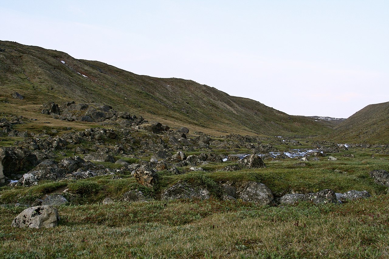
Most of that northern territory became Canadian through a single transfer. In 1870 the new Dominion took over Rupert’s Land, the Hudson’s Bay Company’s fur-trade territory based on the Hudson Bay drainage basin, together with the North-Western Territory. The Northwest Territories created from them were later divided, most recently in 1999 when Nunavut became Canada’s third territory. To the south, Canada and the United States share the world’s longest land border, 8,891 km.
No. 1: Russia, 17.1 million km² across 11 time zones
1. Russia – 17,098,246 km². Russia is about 1.7 times the size of Canada and holds roughly one-ninth of the world’s land. Its European part alone, about 4 million km², is around 40% of Europe and would by itself be one of the larger countries in the world. The Asian part, Siberia and the Russian Far East, adds about 13.1 million km² and covers all of northern Asia. Russia spans 11 time zones, from UTC+2 in Kaliningrad to UTC+12 in Kamchatka and Chukotka, and borders 14 countries.
The size came from more than three centuries of eastward expansion. The conquest of Siberia began with Yermak’s campaign against the Khanate of Sibir in 1581 and ended with the final annexation of Chukotka, on the Bering Strait, in 1778. Much of the land gained is hard to live on. Geographers divide Russia into tundra, taiga, steppe, arid and mountain zones, and about 10% of the country is treeless tundra. Its northern edge along the Arctic Ocean gives it the world’s fourth-longest coastline, 37,653 km.
For a closer look at the top two, see how big Russia really is and how big Canada is. The difference between the two ends of the scale is huge: Russia is roughly 39 million times the size of Vatican City, the first entry in our list of the smallest countries in the world by area.