
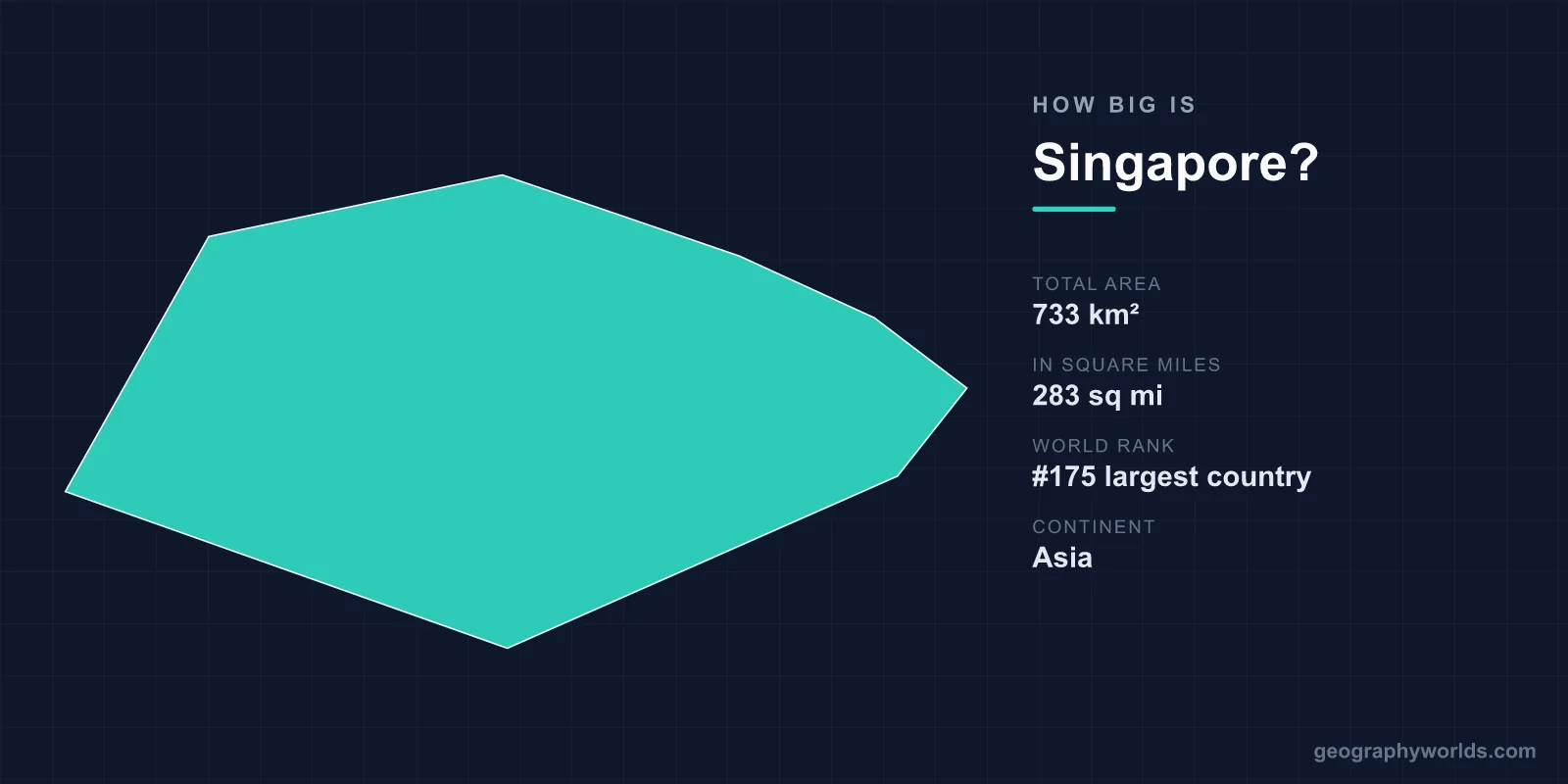
Singapore covers about 735 km² (284 sq mi), making it one of the smallest countries in the world, around 175th of 195 by area. It is about 50 km from east to west and 27 km from north to south, slightly smaller than New York City's five boroughs and about four times the size of Washington, D.C. Singapore also gets bigger almost every year: land reclamation has added roughly a quarter to its area since independence in 1965, when it covered about 580 km².
Singapore Next to Places You Know
| Place | Area | Compared with Singapore |
|---|---|---|
| Washington, D.C. | 177 km² | Singapore is about 4 times larger |
| Chicago (city) | 606 km² | Singapore is about 1.2 times larger |
| Bahrain | ~786 km² | Slightly larger than Singapore |
| New York City (land) | ~778 km² | Slightly larger than Singapore |
| Greater London | 1,572 km² | About twice Singapore's size |
| Malaysia | 330,803 km² | About 450 times larger |
| Indonesia | ~1.9 million km² | About 2,600 times larger |
At the small end, Singapore is about 12 times the size of San Marino and more than 350 times the size of Monaco. The United Kingdom would hold it more than 330 times and the United States more than 13,000 times. If you want the close call settled exactly, our comparison of Singapore and New York City goes borough by borough.
Sixty-Three Islands, One Doing Most of the Work
Singapore is an island group, not a single island. The main island, sometimes called Pulau Ujong, holds almost all of the population and economy. Around it are more than sixty smaller islands. Sentosa, to the south, is now a resort island. Pulau Tekong and Pulau Ubin in the north-east are used by the military and as a rural park. Jurong Island, off the south-west coast, is a petrochemical complex made by joining seven small islands with reclaimed land, a project finished in 2009 that produced about 32 km² of industrial ground.
The land is low. The highest natural point, Bukit Timah Hill, reaches only 163 m, and about a third of Singapore lies less than 5 m above sea level. That is why the government describes rising seas as an existential threat and set up a dedicated Coastal and Flood Protection Fund in 2020. The coastline is about 193 km long, and very little of it is still natural.
A Country That Gets Bigger Every Year
Singapore is one of the few countries whose official area changes from year to year. Reclamation began in the 1960s along the east coast, where the land that now carries the East Coast Parkway and much of Changi Airport was once sea. Marina Bay, including the site of Marina Bay Sands and Gardens by the Bay, is almost entirely reclaimed land. The current projects are just as large. The Tuas mega-port in the far west is being built on reclaimed land to bring all of Singapore's container terminals together by the 2040s. Changi's expansion, including a fifth terminal planned for the mid-2030s, takes in more new land on the east coast.
The latest method is the polder, borrowed from the Netherlands. On Pulau Tekong, instead of piling sand up above sea level, engineers have built a seawall around an area of shallow sea and pumped it dry, creating about 800 hectares of land below sea level that is protected by dykes and drainage. It needs far less sand than conventional infill, and sand is the constraint.
The Sand Problem
Reclamation on this scale made Singapore the world's largest importer of sand for years, and its neighbours noticed where the sand was coming from. Indonesia banned sand exports in 2007, citing islands that were disappearing through dredging. Cambodia banned sea-sand exports in 2017, and Malaysia followed in 2018. Each ban raised costs and pushed Singapore towards polders, recycled construction material and building upwards and underground instead of outwards.
Building Down as Well as Out
With little land left to reclaim cheaply, Singapore has started using the space underground. The Jurong Rock Caverns, opened in 2014, store oil and petrochemicals about 130 m below the seabed off Jurong Island, freeing about 60 hectares of surface land. Deep tunnels carry used water to treatment plants, and planning maps now zone underground space the way they zone land on the surface. The long-term land use plan aims for about 766 km² of land by 2030, but that depends on how much more reclamation stays affordable.
Six Million People on 735 km²
Just over 6 million people live in Singapore, about 8,200 per square kilometre. Among sovereign states, only Monaco is more densely populated. About three-quarters of residents are ethnically Chinese, with Malay and Indian minorities of roughly 14 and 9 per cent, and the country has four official languages: English, Malay, Mandarin and Tamil. Malay is also the national language, used in the national anthem. Most Singaporeans live in high-rise flats built by the Housing and Development Board, which house around 80 per cent of residents. The public housing programme, together with a metro network that reaches most estates, is what makes that density workable.
Even so, green space takes up a large share of this small area. The Bukit Timah Nature Reserve protects about 1.6 km² of primary rainforest, and the Central Catchment Nature Reserve surrounds the reservoirs in the middle of the island. More land is used for water collection than most visitors realise, because Singapore has no large rivers and has spent decades trying to reduce its dependence on water from Johor. Our ranking of population density by country shows how Singapore compares with other crowded places.
Close to the Equator
Singapore lies about 137 km north of the equator, at 1°17′N, which shapes life on its small area as much as its size does. There are no seasons in the temperate sense. Daily temperatures sit between about 25 and 32 °C all year, and the year is divided by two monsoons, the north-east monsoon from about December to March and the south-west monsoon from June to September. The island receives more than 2,000 mm of rain a year, much of it in short, heavy afternoon storms. That is why so much of the land is given over to drains, canals and reservoirs.
Its clock is less consistent with its position. Singapore sits at about 104°E, which by longitude would put it on UTC+7, yet it keeps UTC+8. The change came in 1982, when Singapore moved half an hour ahead to match the time Malaysia adopted across its peninsula and Borneo territories. As a result, sunrise rarely comes before 7 a.m., and evenings stay light until after 7 p.m. all year.
How a Small Island Became a Country
Singapore's borders are the result of an unusual history. Stamford Raffles set up a British trading post on the island in 1819. It became part of the Straits Settlements in 1826 and a separate Crown colony in 1946, and it gained self-government in 1959. In September 1963 it joined Malaya, Sabah and Sarawak to form Malaysia. That lasted less than two years. Political and communal tensions led to Singapore's separation on 9 August 1965, which made it one of the very few countries to become independent without having sought it. The new state had no hinterland, no natural resources and little fresh water, which explains a great deal of what it has done with its land since.
Water: The Resource the Land Can't Supply
Size is the reason water is a strategic issue for Singapore. The island is too small to store the heavy rain it receives, so the government built what it calls the "four national taps". The first is local catchment: about two-thirds of the land now drains into reservoirs, including Marina Reservoir, created in 2008 when the Marina Barrage dammed the mouth of the Singapore River in the city centre. The second is water imported from Johor under a 1962 agreement that runs until 2061. The third is NEWater, highly treated reclaimed wastewater introduced in 2003. The fourth is desalination, which began in 2005. The aim is to be self-sufficient before the Johor agreement ends.
Borders You Can Cross on Foot
Singapore's only land connections are two bridges to Malaysia across the Johor Strait, which is only about a kilometre wide at its narrowest crossing: the Causeway, opened in 1924, and the Second Link, opened in 1998. The Causeway carries a road, a railway and the water pipelines from Johor, and it is one of the busiest land crossings in the world, with hundreds of thousands of people crossing on a typical day. A rapid transit link between Woodlands and Johor Bahru is due to add a third crossing.
Singapore's territory also includes Pedra Branca, a granite outcrop with a lighthouse at the eastern entrance to the Singapore Strait, which the International Court of Justice awarded to Singapore in 2008. Those few rocks, a strip of sea and one crowded island make up the whole country, which is why every square kilometre is planned. What that land supports is covered in our overview of Singapore's economy.