
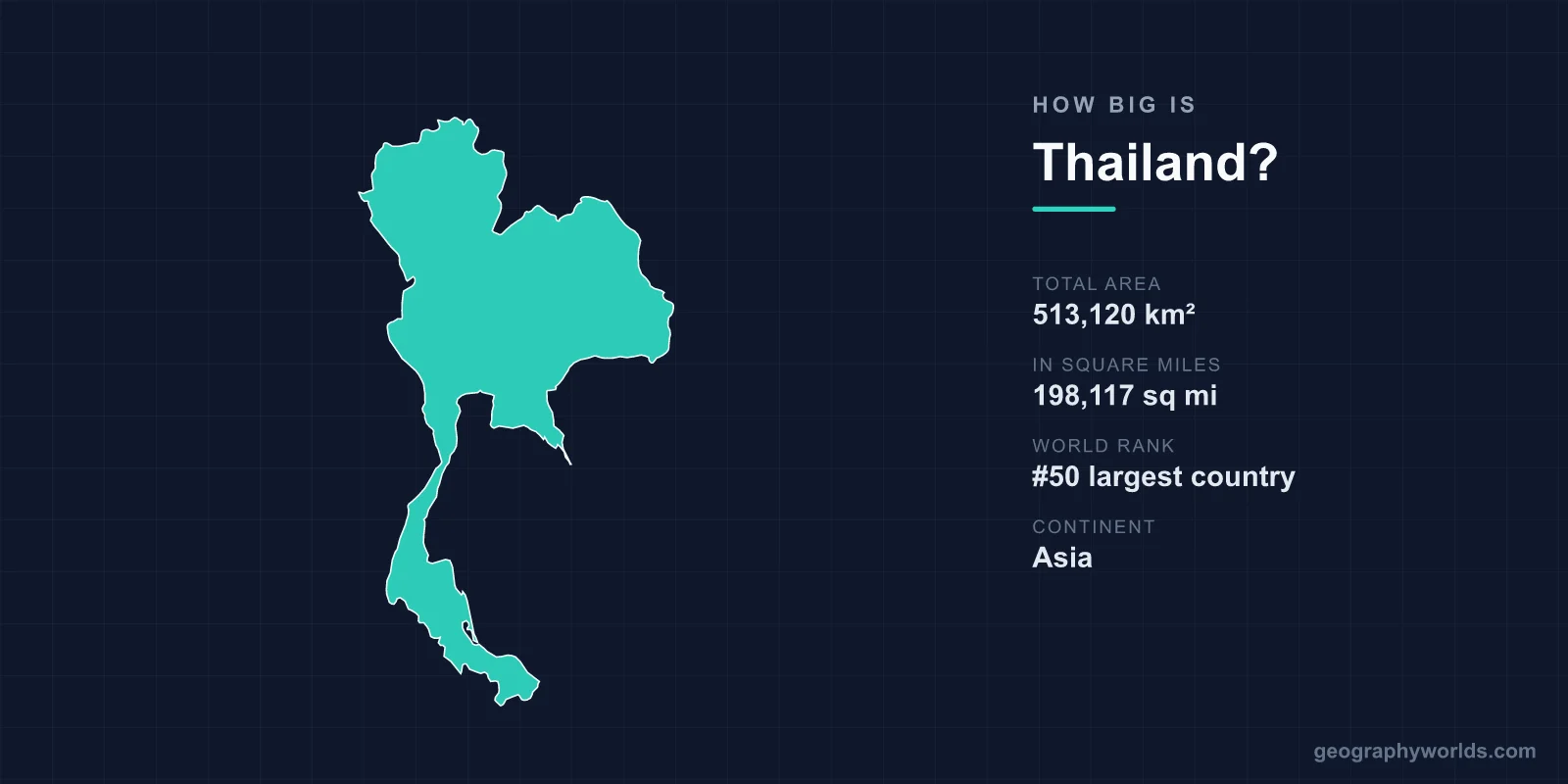
Thailand covers a total area of 513,120 km² (198,117 sq mi), making it the 50th largest country in the world — a little under twice the size of the United Kingdom. Stretching from the mountainous north down a long peninsula toward Malaysia, Thailand packs an enormous variety of landscapes into a footprint that ranks roughly in the middle of the global pack.
The Numbers Behind Thailand's Size
At 513,120 km², Thailand accounts for about 0.34% of the Earth's total land surface of roughly 148.94 million km². That places it 50th worldwide — larger than most European nations but a fraction of giants like Russia or Canada. Within Southeast Asia, it is the third-largest country after Indonesia and Myanmar.
- Total area: 513,120 km² (198,117 sq mi)
- World rank: 50th largest country
- Share of global land: about 0.34%
- Continent: Asia (Southeast Asia)
- Capital: Bangkok
Because so much of that land is usable — fertile river plains, rolling plateau and a long coastline — Thailand supports a population of more than 70 million people, making it one of the more densely settled countries of its size.
Dimensions From North to South
Thailand is a notably elongated country. It runs roughly 1,700 km from its northern hills to the southern tip of the peninsula, yet measures only about 800 km across at its widest. At its narrowest point, the Kra Isthmus, the country pinches to just a few dozen kilometres between the Gulf of Thailand and the Andaman Sea.
This shape gives Thailand an unusually long coastline for its area — about 3,219 km in total, split between two distinct bodies of water. Thais often compare the country's outline to an elephant's head, with the long southern peninsula forming the trunk, a fitting image for a nation where the elephant is a national symbol.
A Country of Four Regions
Thailand's land area is conventionally divided into four geographic regions, each with its own character:
- The Central Plain: The fertile basin of the Chao Phraya River, sometimes called the "rice bowl" of Thailand. Bangkok sits here, barely 1.5 m above sea level.
- The North: A region of forested mountain ranges and deep valleys around Chiang Mai. Doi Inthanon, the highest point in the country, rises to 2,565 m (8,415 ft).
- The Northeast (Isan): The dry, sandstone Khorat Plateau, which alone covers roughly one-third of Thailand's total land area.
- The South: A narrow tropical peninsula of beaches, islands and limestone karsts, reaching toward the Malaysian border.
That sweep from 2,500-metre peaks to sea-level deltas — all within a single country — is part of what makes Thailand's geography so varied. For more on its people, climate and travel regions, see our thailand country guide.
How Thailand Compares to Other Countries
Size becomes more meaningful with comparisons. Thailand is just under twice the area of the United Kingdom (242,495 km²), so you could fit nearly two UKs inside its borders. Against France (640,679 km²) it is about 80% as large, and it is roughly 36% bigger than Japan (377,975 km²).
Compared with the United States, Thailand is close in size to the combined states of California and Florida, or a little larger than the US state of Texas would suggest at first glance — Texas is actually bigger, at about 695,000 km². Within Asia, Thailand is somewhat smaller than its neighbour Myanmar but larger than Vietnam, Laos and Cambodia.
Coastlines, Rivers and Land Use
Two seas frame Thailand's territory. The Gulf of Thailand wraps around the east and the inner peninsula, while the Andaman Sea borders the west coast with its famous islands such as Phuket and the limestone towers of Phang Nga Bay. Together these coasts total more than 3,200 km.
The Chao Phraya River system drains the central plain and helps make Thailand one of the world's leading rice exporters — its river basin alone supplies a large share of national production. The northeast, by contrast, relies on the Mekong River along its border with Laos. This split between a well-watered centre and a drier plateau shapes agriculture, settlement and even cuisine across the country.
Frequently Asked Questions
Is Thailand bigger than the UK?
Yes. Thailand's 513,120 km² is just under twice the size of the United Kingdom, which covers about 242,495 km². You could fit nearly two UKs within Thailand's borders.
What is the highest point in Thailand?
The highest point is Doi Inthanon in the northern province of Chiang Mai, rising to 2,565 m (8,415 ft) above sea level. By contrast, the capital Bangkok sits only about 1.5 m above sea level.
How long is Thailand's coastline?
Thailand has roughly 3,219 km of coastline, divided between the Gulf of Thailand to the east and the Andaman Sea to the west — two very different marine environments within one country.
Where does Thailand rank in size among world countries?
Thailand is the 50th largest country in the world by total area and the third largest in Southeast Asia, after Indonesia and Myanmar.