
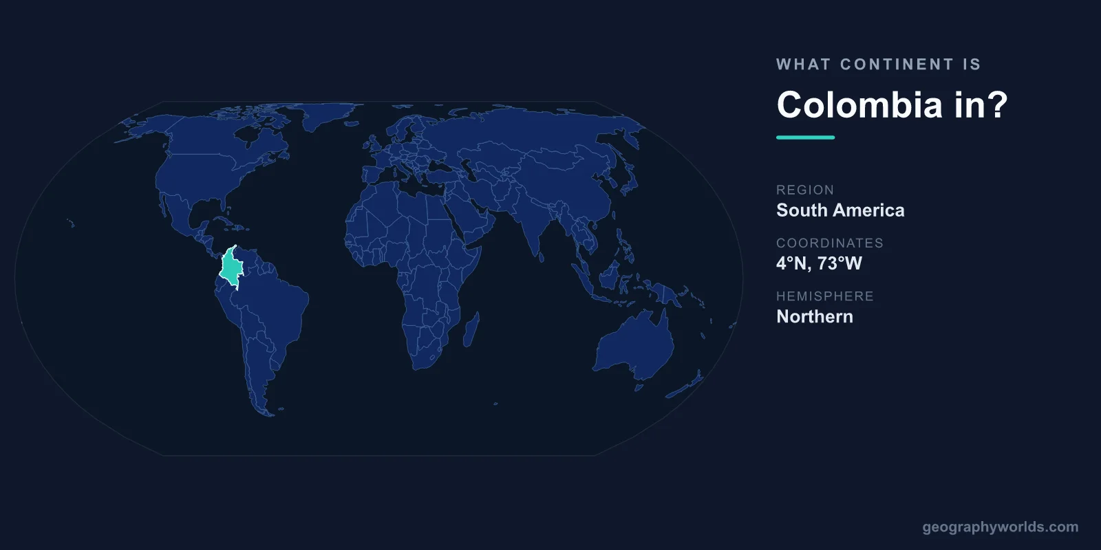
Colombia is located in South America, sitting in the northwestern corner of the continent where it meets the southern edge of Central America. It is the only country in South America with coastlines on both the Caribbean Sea and the Pacific Ocean, and it shares a land border with Panama that effectively serves as the dividing line between South America and North America.
Why Colombia Belongs to South America
Continents are defined by large, continuous landmasses, and Colombia sits firmly on the South American tectonic plate. Its capital, Bogotá, lies high in the Andes Mountains at roughly 2,640 metres above sea level, one of the highest capital cities on Earth. With a total area of about 1,141,748 km², Colombia is the fourth-largest country in South America, after Brazil, Argentina, and Peru.
Geographically, Colombia anchors the continent's far north. The equator passes through its southern reaches, while its Caribbean coast reaches well into the tropics of the Northern Hemisphere. This means a single country spans both sides of the equator, a feature it shares with only a handful of South American neighbours.
A Gateway Between Two Continents
Colombia's most distinctive geographic trait is its role as the bridge between South America and Central (North) America. Its northwestern border with Panama runs through the dense, roadless jungle known as the Darién Gap, the only break in the entire Pan-American Highway that stretches from Alaska to Argentina.
This frontier is more than a national boundary. The Colombia–Panama border is widely treated as the line separating the South American continent from North America. Travellers moving overland between the two continents must cross here, and the rugged terrain has kept the two road networks disconnected to this day.
Borders and Neighbouring Countries
Colombia shares land borders with five countries, four of which are South American:
- Venezuela to the east and northeast
- Brazil to the southeast
- Peru to the south
- Ecuador to the southwest
- Panama to the northwest (part of Central America, North America)
Beyond its land frontiers, Colombia faces the Caribbean Sea to the north and the Pacific Ocean to the west. Its combined coastline stretches roughly 3,200 km. No other South American nation touches both of these bodies of water, which historically gave Colombia an important strategic and trading position long before the Panama Canal opened nearby in 1914.
The Landscape of Northwestern South America
Within Colombia, the great Andes mountain chain famously splits into three parallel ranges, or cordilleras, separated by deep river valleys carved by the Magdalena and Cauca rivers. This creates an extraordinary range of altitudes and climates packed into a relatively compact area. The highest point, Pico Cristóbal Colón, rises to about 5,700 metres in the Sierra Nevada de Santa Marta, a snow-capped massif that sits remarkably close to the Caribbean coast.
To the east of the Andes, the land flattens into the vast tropical grasslands of the Llanos and, further south, the dense Amazon rainforest. This variety helps explain why Colombia ranks among the world's 17 "megadiverse" countries. It hosts more bird species than any other nation, well over 1,900, and ranks second globally for total plant species. Few places illustrate the biological richness of South America better.
Colombia's Place in the Region
Culturally and politically, Colombia is a core member of South America. Spanish is the official language, a legacy of Spanish colonisation, and the country is part of regional bodies that bring South American nations together on trade and diplomacy. Its location at the continent's northern doorstep has long made it a meeting point of Caribbean, Andean, Pacific, and Amazonian cultures. To explore more, see our colombia country guide.
Frequently Asked Questions
Is Colombia in North America or South America?
Colombia is in South America. The confusion often arises because it borders Panama, which belongs to Central America (part of North America). That border is generally considered the boundary between the two continents.
Is Colombia part of Central America?
No. Colombia is a South American country, not a Central American one. However, it sits directly south of Central America and connects to it through the Darién Gap on its border with Panama.
What ocean is Colombia on?
Colombia borders both the Caribbean Sea (part of the Atlantic Ocean) to the north and the Pacific Ocean to the west. It is the only South American country with coastlines on both.
Does the equator pass through Colombia?
Yes. The equator crosses the southern part of Colombia, meaning the country lies in both the Northern and Southern Hemispheres. This contributes to its warm, tropical climate at lower elevations.