
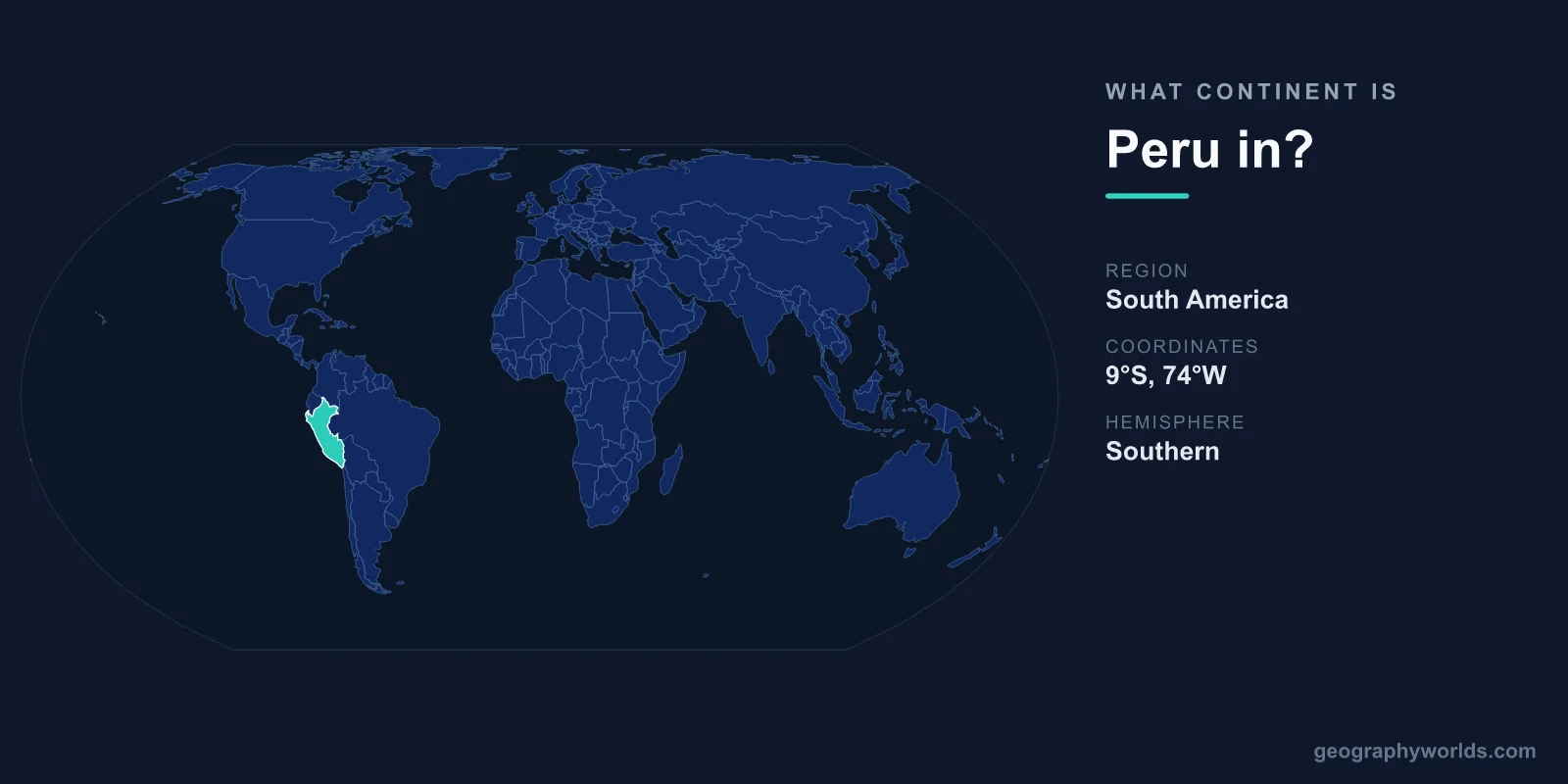
Peru is located in South America, occupying a large stretch of the continent's western, Pacific-facing coast. It is the third-largest country in South America after Brazil and Argentina, and it sits firmly within the western South American region, sharing borders with five other South American nations. Despite its tropical latitude, Peru's geography is astonishingly varied, ranging from arid coastal desert to glaciated Andean peaks and dense Amazon rainforest.
Where Exactly Is Peru on the Continent?
Peru lies in the western and central part of South America, straddling the equator's southern side. Its capital, Lima, sits on the Pacific coast at roughly 12 degrees south of the equator. The country covers approximately 1,285,216 square kilometres, making it the third-largest nation on the continent and the 19th-largest in the world.
Geographically, Peru is positioned where the Pacific Ocean meets the towering Andes Mountains, a collision zone created by the Nazca tectonic plate sliding beneath the South American plate. This setting explains both Peru's dramatic mountain scenery and its frequent seismic activity. The United Nations and all major geographic classifications place Peru unambiguously within South America.
Which Countries Border Peru?
Peru shares land borders with five neighbouring countries, all of them part of South America:
- Ecuador and Colombia to the north
- Brazil to the east, along the Amazon basin
- Bolivia to the southeast, including the shared shore of Lake Titicaca
- Chile to the south, near the arid Atacama region
To the west, Peru's long coastline faces the Pacific Ocean for more than 2,400 kilometres. This central position on the continent's Pacific side made Peru a strategic hub during the Spanish colonial era, when Lima served as the capital of the Viceroyalty of Peru, one of the most important administrative centres in the Americas.
The Three Geographic Regions of Peru
One reason Peru is such a fascinating part of South America is that its territory is divided into three distinct natural zones, each running roughly north to south:
- The costa (coast): A narrow strip of desert and dry plains along the Pacific. Despite minimal rainfall, this region holds Lima and much of the country's population.
- The sierra (highlands): The Andean spine, home to soaring peaks such as Huascarán, which reaches 6,768 metres. This zone holds ancient cities, terraced farmland, and Lake Titicaca, the highest navigable lake in the world at about 3,812 metres above sea level.
- The selva (jungle): The vast Amazon rainforest covering Peru's eastern interior, which makes up well over half the country's land area.
This tripartite structure packs an enormous range of climates and ecosystems into a single country, giving Peru some of the highest biodiversity on the planet.
Peru and the Amazon and Andes
Peru's place in South America is closely tied to two of the continent's defining features. The Andes, the world's longest continental mountain range, run the entire length of Peru and shape its rivers, weather, and culture. Meanwhile, the Amazon River is widely considered to have one of its most distant sources in the Peruvian highlands, fed by the Apurímac and Ucayali river systems before flowing east across the continent toward the Atlantic.
This makes Peru one of the most hydrologically significant countries in South America. The same Andean snowmelt that feeds the Amazon also sustains the dry Pacific coast through carefully managed river valleys, a balance that supported civilisations here for thousands of years. If you want a fuller picture of the country, this peru country guide covers its regions, culture, and travel highlights in more depth.
A Land of Ancient Civilisations
Peru's location in the Andes made it the heartland of the Inca Empire, the largest empire in pre-Columbian America. Its capital, Cusco, controlled a network of roads stretching across western South America. The mountaintop citadel of Machu Picchu, built in the 15th century, remains one of the most visited and recognisable archaeological sites in the world.
Long before the Inca, earlier cultures flourished on Peruvian soil. The Nazca people carved enormous geoglyphs, known as the Nazca Lines, into the coastal desert more than 2,000 years ago, designs so large they are best appreciated from the air. Peru is also the birthplace of the domesticated potato, with thousands of native varieties still grown across its highlands today.
Frequently Asked Questions
Is Peru in North or South America?
Peru is in South America. It lies on the continent's western Pacific coast, well south of the equator, and is not connected to North America except through the narrow land bridge of Central America.
Is Peru part of Latin America?
Yes. Peru is a Spanish-speaking country and is considered part of Latin America, a cultural grouping that includes most of South and Central America. It is also a member of regional organisations such as the Andean Community.
What is the capital of Peru and where is it?
The capital is Lima, located on the central Pacific coast within the desert costa region. It is one of the largest cities in South America and serves as the country's political and economic centre.
What is Peru most famous for geographically?
Peru is famous for combining three landscapes in one country: Pacific coastal desert, the high Andes including Lake Titicaca and Huascarán, and a huge share of the Amazon rainforest. This diversity makes it one of the most varied countries on the continent.