
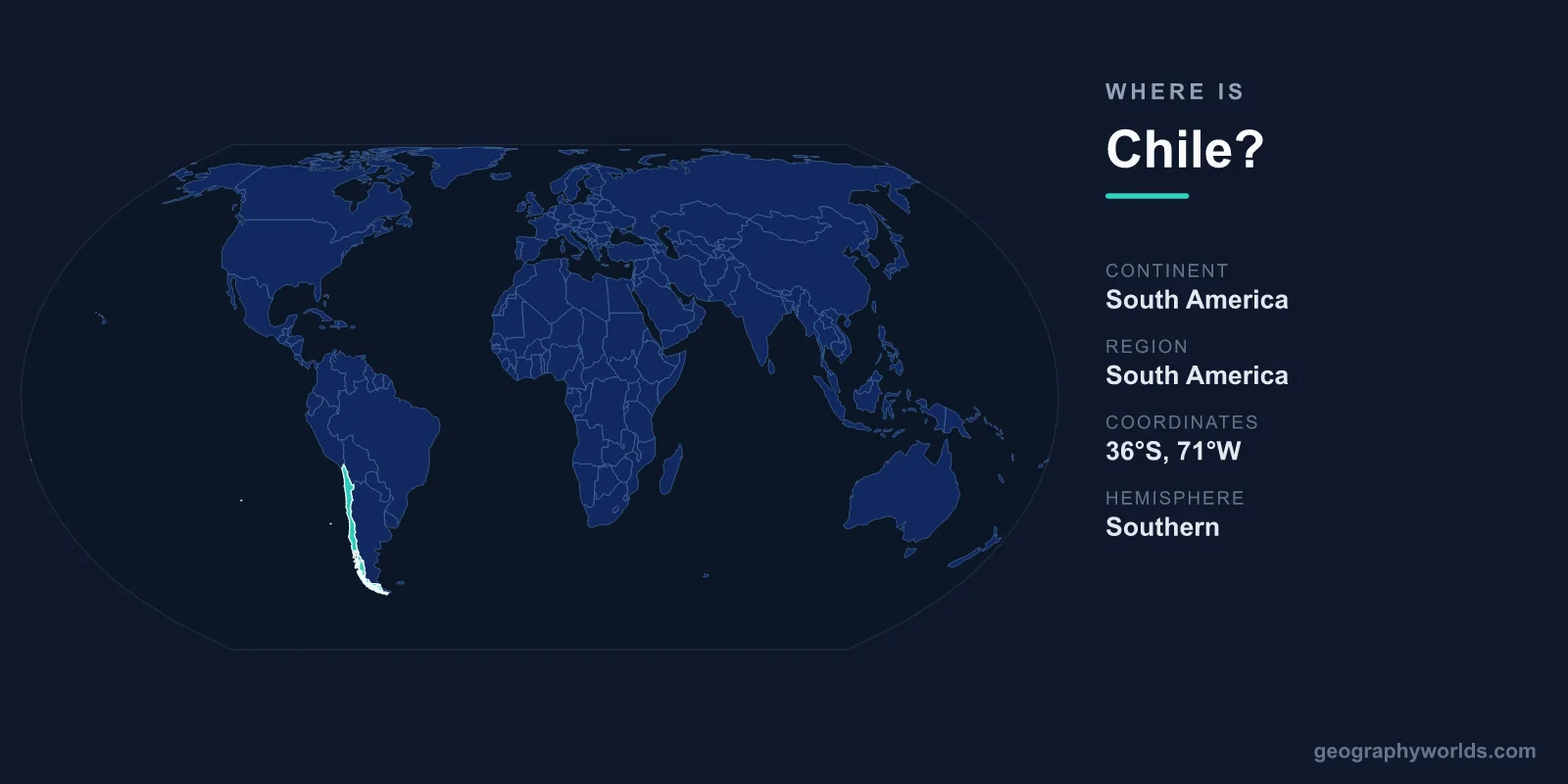
Chile is located along the western edge of South America, occupying a long, narrow strip of land between the Andes Mountains and the Pacific Ocean. It sits in both the Southern and Western Hemispheres, covers about 756,102 km², and has Santiago as its capital. Few countries are as instantly recognizable on a map, thanks to Chile's extraordinary ribbon-like shape running north to south for more than 4,300 km.
Where Exactly Is Chile on the Map?
Chile lies in southwestern South America, hugging the Pacific coastline. The country stretches from roughly 17°S latitude near the Peruvian border down to around 56°S at Cape Horn, the southern tip of the Americas. Despite this enormous north-south span, Chile averages only about 177 km wide, making it one of the most elongated nations on Earth.
Santiago, the capital and largest city, sits in the central valley at about 33°S, roughly midway down the country. This central region is where most of Chile's population of around 19 million people lives, enjoying a Mediterranean climate quite different from the deserts to the north and the glaciers to the south.
Which Countries Border Chile?
Chile shares land borders with three countries, all to its north and east. The towering Andes form a natural wall along most of the eastern frontier.
- Peru – to the north, meeting Chile in the arid Atacama region.
- Bolivia – to the northeast, across high-altitude desert and altiplano.
- Argentina – to the east, sharing the longest border, which runs the length of the Andes.
To the west lies the Pacific Ocean, and far to the south the country tapers toward the Drake Passage and Antarctica. Chile also claims territory in the Pacific, including Easter Island (Rapa Nui) and the Juan Fernández Islands.
A Country of Extreme Geographic Contrasts
Because Chile spans so many degrees of latitude, it contains an unusual range of landscapes and climates packed into a single country. From north to south you pass through:
- The Atacama Desert – the driest non-polar desert on the planet, in the far north.
- The Central Valley – fertile, temperate farmland and vineyards around Santiago.
- The Lake District – forests, volcanoes, and lakes in the south-central region.
- Patagonia – glaciers, fjords, and the rugged peaks of Torres del Paine at the southern end.
The Andes run almost the entire eastern length of Chile, while a lower coastal range borders the Pacific. The total area of 756,102 km² makes Chile roughly comparable in size to France, or slightly larger than the U.S. state of Texas.
Where Is Easter Island?
One of Chile's most famous landmarks lies far from the mainland. Easter Island, home to the iconic Moai statues, sits in the South Pacific about 3,500 km west of the Chilean coast, making it one of the most isolated inhabited places on Earth. Although remote, it is administratively part of Chile and reflects the country's reach across the Pacific.
Hemisphere, Time, and Position
Chile lies entirely in the Southern Hemisphere, so its seasons are reversed compared with Europe and North America: summer falls in December–February and winter in June–August. It is also firmly in the Western Hemisphere, west of the Prime Meridian. For travelers and learners, you can explore Chile's place in the world further in our chile country guide.
Frequently Asked Questions
What continent is Chile on?
Chile is on the continent of South America, occupying the southwestern coast along the Pacific Ocean and bordered to the east by the Andes Mountains.
What is the capital of Chile?
The capital of Chile is Santiago, located in the country's central valley at about 33°S. It is the political, financial, and cultural heart of the nation and home to a large share of the population.
Why is Chile so long and narrow?
Chile's shape is the result of geography: the Andes Mountains to the east and the Pacific Ocean to the west squeeze the country into a thin coastal strip, while it extends more than 4,300 km from the tropical north to the sub-Antarctic south.