
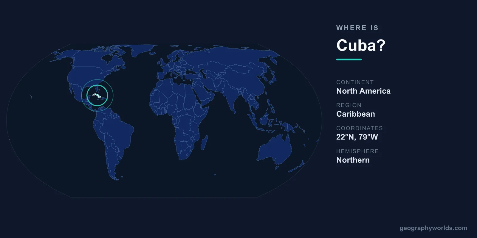
Cuba is located in the northern Caribbean, where the Caribbean Sea, the Gulf of Mexico, and the Atlantic Ocean meet — about 150 km south of Florida and just east of Mexico's Yucatán Peninsula. It is the largest island in the Caribbean, sits on the North American continental shelf, and its capital is Havana, on the island's northwest coast. The country covers roughly 109,884 km² and lies in both the Northern and Western Hemispheres.
Where Exactly Is Cuba on the Map?
Cuba lies roughly between latitudes 19°N and 23°N and longitudes 74°W and 85°W. The country guards the entrance to the Gulf of Mexico, which is why it has been described for centuries as the "Key to the Gulf." To picture its position, find Florida in the United States and look about 150 km (90 miles) due south across the Straits of Florida — the nearest point of Cuba sits just below the Tropic of Cancer.
The main island stretches in a long, slender arc from west to east, separating the warm waters of the Gulf and the open Atlantic to the north from the Caribbean Sea to the south. This strategic crossroads location made Cuba a vital stopover for Spanish treasure fleets sailing between the New World and Europe, and it remains one of the most important geographic gateways in the Western Hemisphere.
Which Continent and Region Is Cuba In?
Although it is an island, Cuba is geographically part of North America and the wider West Indies. It marks the western anchor of the Greater Antilles, the chain of large islands that also includes Hispaniola (shared by Haiti and the Dominican Republic), Jamaica, and Puerto Rico. Cuba is by far the biggest of these, holding more than half of the entire land area of the Antilles.
Geographers place Cuba within North America because it rests on the North American tectonic plate and sits close to the continental mainland. Culturally and economically, however, the country is firmly tied to Latin America and the Caribbean, sharing a Spanish colonial heritage and a tropical island way of life with its neighbors.
How Far Is Cuba from Its Neighbors?
As an island nation, Cuba shares no land borders, but several countries and territories lie strikingly close across the water:
- United States (Florida): about 150 km north across the Straits of Florida.
- The Bahamas: just to the north and northeast.
- Mexico (Yucatán): roughly 210 km to the west, across the Yucatán Channel.
- Jamaica: around 140 km to the south.
- Haiti: about 80 km to the east, across the Windward Passage on the island of Hispaniola.
The single U.S. military base at Guantánamo Bay, on Cuba's southeastern coast, is the only point where U.S. territory directly meets Cuban land — a legacy of a long-term lease dating to 1903.
The Shape and Size of the Island
Cuba covers 109,884 km², making it comparable in size to South Korea, Iceland, or the U.S. state of Tennessee. The main island stretches roughly 1,250 km from west to east but is narrow — often less than 100 km wide — giving it a long, crocodile-like profile that Cubans affectionately call El Cocodrilo.
The Republic of Cuba is actually an archipelago. Beyond the main island it includes the Isla de la Juventud (the largest of the offshore islands) and around 4,000 cays and islets, such as the Jardines del Rey chain off the north coast. With no land neighbors, the entire national border is coastline — some 5,700 km of beaches, mangroves, and sheltered bays.
Landscape, Climate, and Capital
Because Cuba sits in the tropics, it has a warm, humid climate with a wet season from May to October and a drier, cooler season from November to April. Its location in the western Caribbean also places it in the Atlantic hurricane belt, with the greatest risk between August and October. The terrain is mostly flat or gently rolling plains, ideal for sugarcane and tobacco, broken by three main mountain groups. The most prominent is the Sierra Maestra in the southeast, home to Pico Turquino (1,974 m), Cuba's highest peak.
Havana, the capital and largest city, anchors the northwest coast and is home to the historic district of Old Havana, a UNESCO World Heritage Site. Around 11 million people live in Cuba, most speaking Spanish, and the Cuban Peso (CUP) is the national currency. For more on the island's regions, history, and travel highlights, see our cuba country guide.
Frequently Asked Questions
What continent is Cuba on?
Cuba is part of North America. Although it is an island in the Caribbean Sea, it lies on the North American continental shelf and is grouped with the West Indies in the Greater Antilles.
How far is Cuba from the United States?
The nearest point of Cuba is about 150 km (90 miles) south of Key West, Florida, across the Straits of Florida. This short distance has made the two countries close — and at times tense — geographic neighbors.
Is Cuba in the Caribbean or the Gulf of Mexico?
Both, in effect. Cuba sits at the meeting point of the Caribbean Sea to the south, the Gulf of Mexico to the west, and the Atlantic Ocean to the north, controlling the main entrance to the Gulf.
Is Cuba a single island or many islands?
Cuba is an archipelago. The large main island holds most of the land and population, but the country also includes the Isla de la Juventud and roughly 4,000 smaller cays and islets along its coasts.