
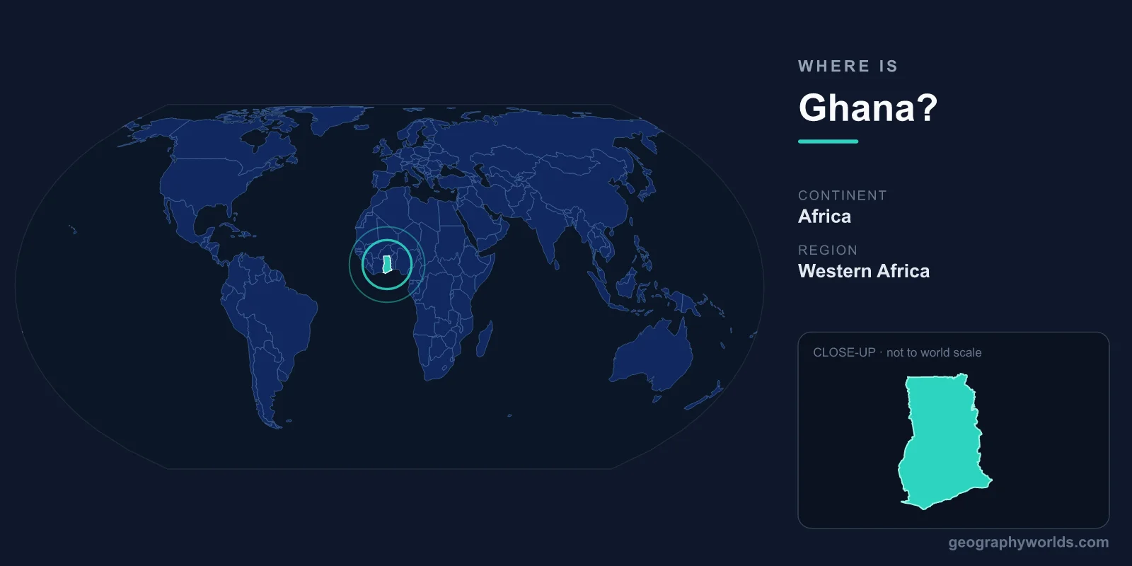
Ghana is located in West Africa, on the Gulf of Guinea coast of the Atlantic Ocean, bordered by Ivory Coast to the west, Burkina Faso to the north, and Togo to the east. Its capital, Accra, sits on the southern coast, and the country covers roughly 238,533 km² — a little smaller than the United Kingdom and almost identical in size to the U.S. state of Oregon.
Where Ghana Sits on the Map
Ghana lies just a few degrees north of the Equator, between roughly 4.5°N and 11°N latitude and 1.2°E and 3.3°W longitude. That places it in both the Northern and (mostly) Western Hemispheres. The prime meridian (0° longitude) actually passes through Ghana near the town of Tema, just east of Accra — making it one of the few countries crossed by the line that defines Greenwich Mean Time.
The country has a southern Atlantic coastline of about 560 km along the Gulf of Guinea. Because it is so close to the intersection of the Equator and the prime meridian (0°,0°), Ghana is sometimes described as one of the nearest nations to the "center" of the world map's coordinate grid. In shape, Ghana is roughly rectangular, stretching about 670 km from the coast in the south to its northernmost border with Burkina Faso, and around 560 km from east to west at its widest. This compact, blocky outline sits between its larger neighbour Ivory Coast and the slender corridor of Togo.
Countries That Border Ghana
Ghana shares land borders with three neighbours, all French-speaking, which makes Ghana a notable English-speaking enclave in the region:
- Ivory Coast (Côte d'Ivoire) — to the west, along Ghana's longest land border.
- Burkina Faso — to the north, across the savanna interior.
- Togo — to the east, a narrow strip separating Ghana from Benin and Nigeria.
To the south there is no land border — only the open water of the Gulf of Guinea, which connects Ghana to global shipping lanes and historically to the Atlantic trade routes.
The Lay of the Land
Ghana is largely low-lying, with most of the country sitting below 500 metres in elevation. The landscape shifts noticeably as you travel inland from the coast:
- Coastal plains in the south, around Accra and Cape Coast, with savanna, lagoons, and historic forts.
- Tropical rainforest belt through the central and Ashanti regions, the heart of Ghana's cocoa and gold production.
- Northern savanna, a drier grassland zone stretching toward Burkina Faso.
A defining feature is Lake Volta, formed by the Akosombo Dam — one of the largest reservoirs by surface area in the world, fanning out across the eastern interior. It supplies much of the country's electricity and serves as an inland waterway for ferries and freight. The country's highest point, Mount Afadja (Afadjato), rises to about 885 metres near the Togo border in the forested Volta Region. Because Ghana lies so close to the Equator, its climate is tropical and warm year-round, with two rainy seasons in the south and a single wet season in the north followed by the dry, dust-laden Harmattan winds blowing down from the Sahara between November and February.
Why Ghana's Location Matters
Sitting on the Gulf of Guinea gave Ghana a central role in centuries of Atlantic trade — its coast still holds historic landmarks such as Cape Coast Castle and Elmina Castle. Today its position makes Accra a major regional hub for West African aviation, finance, and trade, and the deep-water port of Tema handles cargo for much of the landlocked interior. Ghana also sits within a single time zone, Greenwich Mean Time (GMT, UTC+0), with no daylight saving changes year-round.
For a deeper look at Ghana's regions, culture, and travel highlights, see our ghana country guide.
Frequently Asked Questions
What continent is Ghana in?
Ghana is in Africa, specifically in the West Africa region along the Gulf of Guinea. It is one of 16 countries in the West African sub-region and a member of the Economic Community of West African States (ECOWAS).
What ocean is Ghana on?
Ghana's southern coast faces the Atlantic Ocean, along the inlet known as the Gulf of Guinea. The coastline runs for roughly 560 km and includes the capital, Accra, as well as the port city of Tema.
Is Ghana close to the Equator and the prime meridian?
Yes. Ghana lies just north of the Equator, and the prime meridian (0° longitude) passes through the country near Tema. This rare combination places Ghana very close to the point where 0° latitude and 0° longitude meet in the Gulf of Guinea.
What is the capital of Ghana and where is it?
Accra is the capital and largest city of Ghana. It sits on the country's southern Atlantic coast along the Gulf of Guinea and serves as Ghana's political, financial, and cultural centre, with the major deep-water port of Tema just to its east. Ghana gained independence in 1957 as the first sub-Saharan African colony to break from British rule, and English remains the official language.