
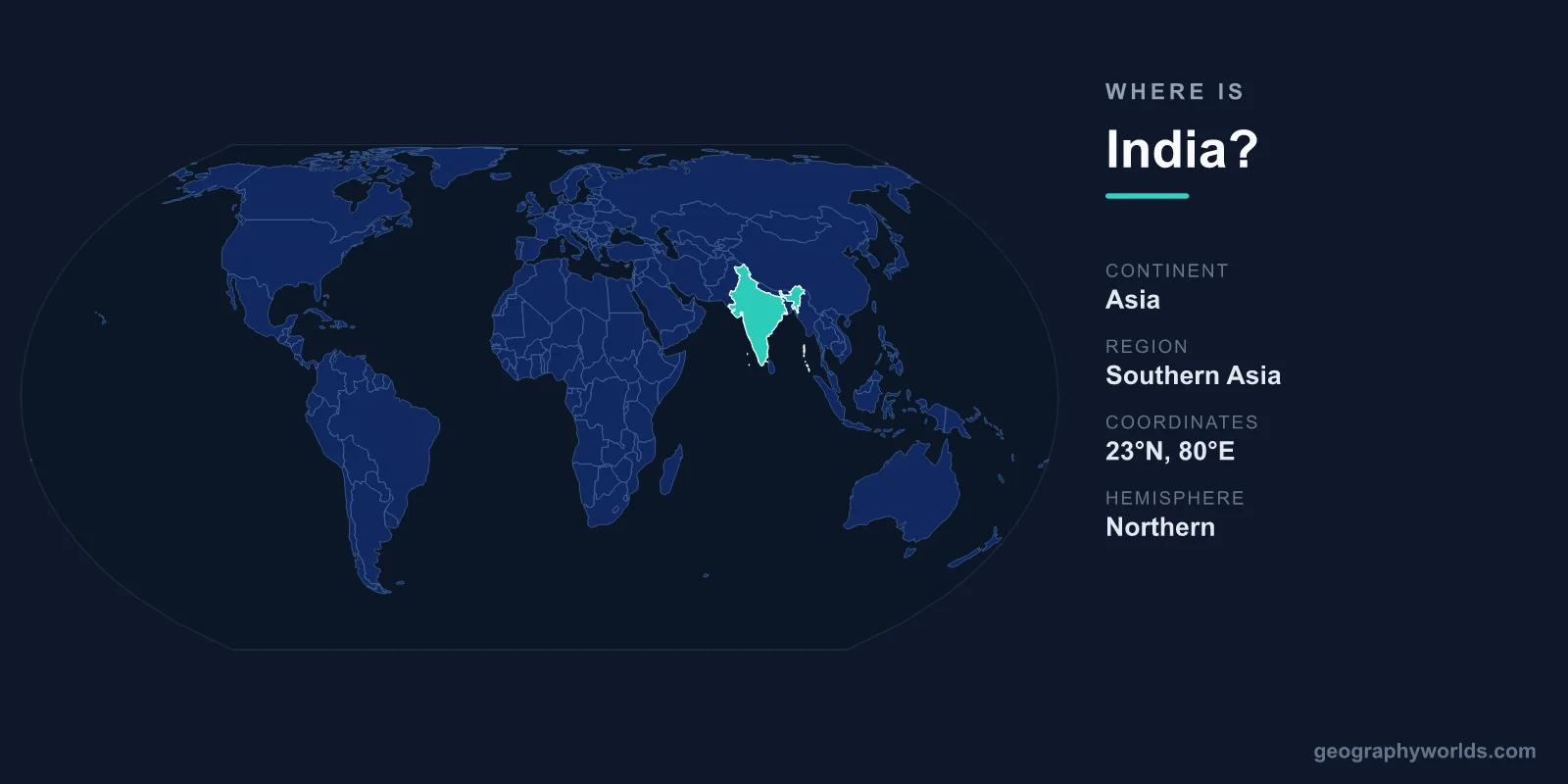
India is located in South Asia, occupying the bulk of the Indian subcontinent that juts southward from the Asian mainland into the Indian Ocean. It sits in both the Northern and Eastern Hemispheres, roughly between 8°N and 37°N latitude and 68°E and 97°E longitude. Bordered by the Arabian Sea to the west, the Bay of Bengal to the east, and the Himalayas to the north, India spans about 3,287,263 km² and is home to around 1.4 billion people, with New Delhi as its capital.
Where India Sits on the World Map
India forms a broad, roughly triangular peninsula pointing into the Indian Ocean, which makes it one of the most recognizable shapes on any world map. To its north, the Himalayan wall separates the country from the high Tibetan Plateau, while its long coastline curves down to the tropical tip at Kanyakumari. The Tropic of Cancer runs straight through the middle of the country, so India spans both subtropical and tropical zones.
To picture its place in the world quickly: India is north of the equator, west of Southeast Asia, south of Central Asia, and east of the Middle East. Geographers place it in the South Asia region, alongside neighbours such as Pakistan, Nepal, and Bangladesh. This central position along the sea routes linking the Middle East, Southeast Asia, and East Africa has made India a crossroads of trade and culture for thousands of years. At roughly 3.29 million km², it is the seventh-largest country on Earth by land area — about one-third the size of the United States — and the most populous.
Countries That Border India
India shares land borders with six countries, wrapping it in neighbours on almost every side except the open sea:
- Pakistan – to the northwest, across the Thar Desert and the disputed region of Kashmir.
- China – to the north and northeast, separated largely by the Himalayan range.
- Nepal – nestled in the central Himalayas along India's northern edge.
- Bhutan – a small Himalayan kingdom to the northeast.
- Bangladesh – almost entirely surrounded by India on its eastern side.
- Myanmar – to the far east, across forested hill ranges.
India also has important maritime neighbours: Sri Lanka lies just off its southeastern tip across the narrow Palk Strait, and the Maldives sits to the southwest in the Indian Ocean. This combination of land and sea borders places India at a strategic geographic hub in Asia.
Coastlines and Seas
India has a coastline of roughly 7,500 kilometres washed by three major bodies of water. The Arabian Sea borders the west coast, the Bay of Bengal borders the east coast, and the open Indian Ocean meets the country at its southern tip. Because of its peninsular shape, much of southern India is never far from the sea. Two island groups extend the country's reach well offshore: the Andaman and Nicobar Islands in the Bay of Bengal and the Lakshadweep Islands in the Arabian Sea.
The Landscape From North to South
India's geography divides into several broad zones, each with a distinct character. In the north, the Himalayas form the world's highest mountain system and feed the rivers that sustain much of the country. Below them lies the vast, fertile Indo-Gangetic Plain, watered by the Ganges, Yamuna, and Brahmaputra rivers — among the most densely populated and intensively farmed places on Earth.
Further south, the triangular Deccan Plateau dominates peninsular India, flanked by two coastal mountain ranges, the Western and Eastern Ghats. Narrow coastal plains run along the edges, while the arid Thar Desert stretches across the northwest near the Pakistan border. This range of terrain means India contains several climate zones, from alpine cold in the high mountains to tropical heat along the coasts. Tying it all together is the seasonal monsoon, which sweeps moisture in from the Indian Ocean each summer and delivers the rains that agriculture across the subcontinent depends on.
For a fuller picture of the country's regions, cities, and travel highlights, see our india country guide.
Frequently Asked Questions
What continent is India on?
India is on the continent of Asia, in the part known as South Asia. It occupies most of the Indian subcontinent, a landmass that extends south from the Asian mainland into the Indian Ocean.
Which oceans and seas surround India?
India is bordered by the Arabian Sea to the west, the Bay of Bengal to the east, and the Indian Ocean to the south. These waters give India one of the longer coastlines in Asia and a long maritime trading history.
Is India in the Northern or Southern Hemisphere?
India lies in the Northern Hemisphere and the Eastern Hemisphere. The Tropic of Cancer runs through the middle of the country, so India sits partly in the tropics and partly in the subtropics.
What is the capital of India and where is it located?
The capital of India is New Delhi, located in the north of the country on the Indo-Gangetic Plain, near the Yamuna River. It serves as the political and administrative centre of the nation.