
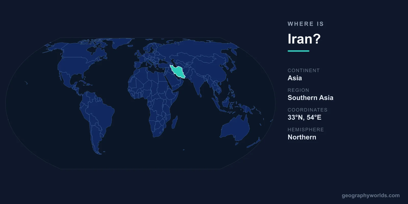
Iran is located in Western Asia, in the region commonly called the Middle East, occupying a vast high plateau between the Caspian Sea to the north and the Persian Gulf and Gulf of Oman to the south. It sits in both the Northern and Eastern Hemispheres, roughly between 25°N and 40°N latitude and 44°E and 63°E longitude. With a land area of about 1,648,195 square kilometres, Iran is the 17th-largest country on Earth and one of the largest in the Middle East. Its capital and biggest city is Tehran, set against the southern slopes of the Alborz Mountains in the north of the country.
Where Exactly Is Iran on the Map?
To find Iran, locate the point where Western Asia, the Caucasus, and Central Asia meet, and Iran anchors that junction. To its west lie Iraq and Turkey; to the northwest are Armenia and Azerbaijan; the northeast borders Turkmenistan; and the east borders Afghanistan and Pakistan. Two major bodies of water frame the country: the landlocked Caspian Sea along the northern edge, and the warm waters of the Persian Gulf and Gulf of Oman to the south.
This southern coastline puts Iran on the Strait of Hormuz, the narrow channel through which a large share of the world's seaborne oil passes. Covering about 1,648,195 square kilometres, Iran is larger than all of Western Europe combined, and the distance from its northwestern corner near Turkey to its southeastern frontier with Pakistan stretches well over 2,000 kilometres.
Iran's Land Borders and Neighbours
Iran shares land borders with seven countries, a high number that reflects both its size and its central position. Each frontier opens onto a different part of the world.
- Iraq – to the west, along a long and historically significant border
- Turkey – to the northwest, linking Iran toward Europe
- Armenia – a short border in the mountainous northwest
- Azerbaijan – to the north and northwest
- Turkmenistan – to the northeast, opening toward Central Asia
- Afghanistan – to the east
- Pakistan – to the southeast, near the Arabian Sea
Beyond these land neighbours, Iran faces Kuwait, Saudi Arabia, Qatar, Bahrain, and the United Arab Emirates across the Persian Gulf, giving it maritime as well as overland connections throughout the region.
The Lay of the Land: Mountains, Plateau, and Deserts
Iran is dominated by a high central plateau ringed by mountains, which is why so much of the country sits well above sea level. Two great ranges form its skeleton. The Zagros Mountains run for roughly 1,500 kilometres from the northwest down to the southeast along the western side. The Alborz Mountains arc across the north near the Caspian coast and contain Mount Damavand, an extinct volcano of about 5,610 metres that is the highest peak in the Middle East and the tallest volcano in Asia.
Cradled within these ranges are two vast salt deserts: the Dasht-e Kavir (Great Salt Desert) and the Dasht-e Lut, the latter recording some of the hottest surface temperatures ever measured on the planet. By contrast, the narrow Caspian lowland in the north is humid, green, and forested. This variety gives Iran a remarkable spread of landscapes from one edge of the country to the other.
Climate, Time Zone, and Why the Location Matters
Given its size and elevation, Iran spans several climate zones. The interior plateau is arid to semi-arid with hot summers and cold winters, the Caspian coast is mild and rainy, and the southern Gulf shore is hot and humid. Tehran sits at roughly 1,200 metres of elevation, which tempers its summer heat and brings real snow in winter. The whole country keeps a single time zone, UTC+3:30, one of the few places worldwide to use a half-hour offset.
Few countries occupy such a pivotal spot. The ancient Silk Road threaded directly through Iranian cities, linking China and India with the Mediterranean, and the ruins of Persepolis still mark the heart of the old Persian Empire. Today the country has about 87 million people who mainly speak Persian (Farsi) and use the Iranian Rial. To explore its regions, cities, and culture in more depth, see our iran country guide.
Frequently Asked Questions
What continent is Iran on?
Iran is on the continent of Asia, specifically in the Western Asia subregion that overlaps with what is popularly called the Middle East.
Is Iran in the Middle East or Central Asia?
Iran is usually classified as part of the Middle East, but it sits right on the edge of Central Asia and the Caucasus, bordering countries in all three regions. Geographically it acts as a bridge between them.
What seas and gulfs surround Iran?
Iran borders the Caspian Sea in the north and the Persian Gulf and Gulf of Oman in the south, the latter connecting to the Arabian Sea and the wider Indian Ocean.
What is the capital of Iran and where is it located?
The capital is Tehran, located in the north of the country at the foot of the Alborz Mountains. It is Iran's largest city and its political, economic, and cultural centre.