
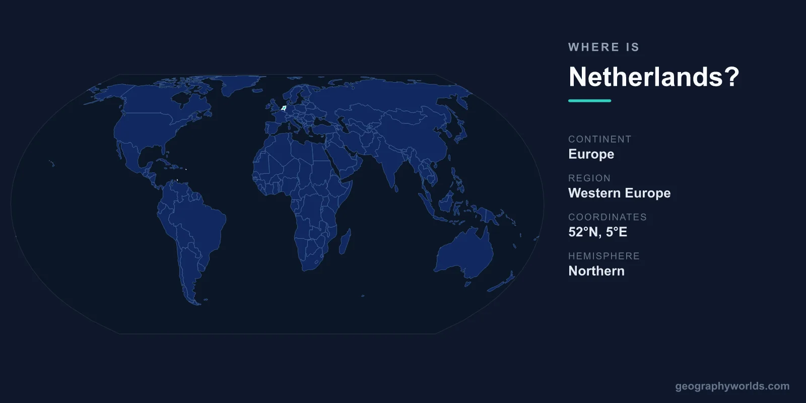
The Netherlands is located in northwestern Europe, bordered by Germany to the east, Belgium to the south, and the North Sea to the north and west. Its capital is Amsterdam, and the country covers roughly 41,543 square kilometres. Famous as one of the lowest-lying nations on Earth, the Netherlands has reclaimed vast stretches of land from the sea using a centuries-old system of dikes, dunes, and polders.
Where Exactly Is the Netherlands?
The Netherlands sits on the European mainland, occupying a coastal corner of the continent that faces the North Sea. In terms of coordinates, the country lies at approximately 52 degrees north latitude and 5 degrees east longitude, placing it firmly in the Northern and Eastern Hemispheres. It is part of the region often called the Low Countries, a name shared with neighbouring Belgium and Luxembourg that reflects the flat, low-altitude terrain.
The Netherlands is a relatively compact country. At about 41,543 square kilometres, it is comparable in size to Switzerland or the U.S. state of Maryland. Despite this small footprint, it is one of the most densely populated nations in Europe, home to roughly 18 million people. The country also forms the European core of the Kingdom of the Netherlands, which additionally includes Caribbean territories.
Countries That Border the Netherlands
The Netherlands shares land borders with just two countries, both of which have profoundly influenced its history, trade, and culture:
- Germany lies to the east, sharing the longest land border with the Netherlands and serving as a major economic partner.
- Belgium sits to the south, connected by close linguistic and cultural ties, particularly with the Dutch-speaking region of Flanders.
To the north and west, the Netherlands has an extensive North Sea coastline of around 450 kilometres. This maritime access has been central to Dutch identity for centuries, fuelling the country's rise as a global trading power during the 17th-century Dutch Golden Age and shaping the port of Rotterdam, the largest seaport in Europe and a critical hub for global trade.
A Country Below Sea Level
What makes the geography of the Netherlands so distinctive is its elevation, or lack of it. About a quarter of the country lies below sea level, and roughly half sits less than one metre above it. The highest natural point on the European mainland portion, the Vaalserberg in the far southeast, reaches only about 322 metres. This is why the country's name literally translates to "the Low Lands."
To live safely in such a setting, the Dutch developed extraordinary water-management engineering. Dikes hold back the sea and rivers, while polders are tracts of reclaimed land kept dry by pumps that once relied on the iconic windmills now synonymous with the Dutch landscape. The province of Flevoland, created largely from drained sections of a former inland sea, is one of the world's most ambitious land-reclamation projects.
Cities, Provinces, and Landscape
Although Amsterdam is the constitutional capital, the seat of government and the royal residence are actually in The Hague, which hosts the parliament and many international institutions, including the International Court of Justice. Other major cities include Rotterdam, Utrecht, and Eindhoven, together forming a dense urban cluster known as the Randstad in the western part of the country.
The Netherlands is divided into twelve provinces, ranging from the watery landscapes of North and South Holland to the wooded heaths of Gelderland and the rural farmland of Friesland. The terrain is overwhelmingly flat, crisscrossed by rivers such as the Rhine, Meuse, and Scheldt, which fan out into broad deltas before meeting the sea. Tulip fields, canals, and cycle paths complete a landscape that is instantly recognisable around the world.
People, Language, and Currency
The official language is Dutch, though English is very widely spoken, especially in cities and tourist areas. The country uses the Euro (EUR) as its currency, having been a founding member of the European Union and the eurozone. The Netherlands operates as a parliamentary constitutional monarchy, with a long tradition of openness, trade, and international cooperation. To learn more, explore our netherlands country guide.
Frequently Asked Questions
What continent is the Netherlands in?
The Netherlands is in Europe, specifically in the northwestern part of the continent along the North Sea coast. Its mainland territory is part of the region historically known as the Low Countries.
Is the Netherlands the same as Holland?
Not exactly. Holland refers to just two of the country's twelve provinces, North Holland and South Holland, which contain major cities like Amsterdam and Rotterdam. The name is often used informally to mean the whole country, but the correct name is the Netherlands.
What countries border the Netherlands?
The Netherlands borders Germany to the east and Belgium to the south. Its northern and western edges are coastline along the North Sea rather than land borders.
Why is the Netherlands called a low-lying country?
Much of the Netherlands sits at or below sea level, with around a quarter of its land below the waterline. The Dutch protect and reclaim this land using dikes, pumps, and polders, which is why the country's name means "the Low Lands."