
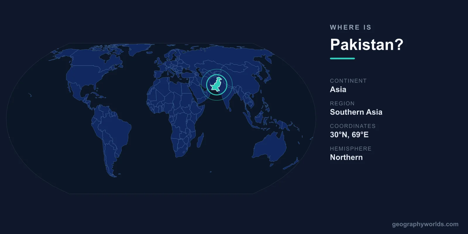
Pakistan is located in South Asia, occupying the northwestern corner of the Indian subcontinent between roughly 24°N and 37°N latitude and 61°E and 77°E longitude. It stretches from the warm waters of the Arabian Sea in the south to the towering Karakoram and Hindu Kush mountains in the north, with its capital at Islamabad. Sitting at the crossroads of South Asia, Central Asia, and the Middle East, Pakistan covers about 881,913 km² and is home to roughly 240 million people, making it the world's fifth most populous nation.
Where Exactly Is Pakistan?
Pakistan lies entirely in the Northern and Eastern Hemispheres on the continent of Asia. Its southern edge meets the Arabian Sea along a coastline of about 1,046 km, while its northern frontier rises into some of the highest peaks on Earth. This north-to-south spread of more than 1,800 km gives the country an unusually wide range of landscapes within a single border, from glaciers and alpine valleys to subtropical river plains and coastal mangroves.
The country's strategic position has made it a historic gateway for thousands of years. Ancient trade and invasion routes crossed its mountain passes, and today it links the resource-rich nations of Central Asia and the energy corridors of the Middle East to the markets of South Asia and the Indian Ocean. In land area Pakistan is comparable to the combined size of France and the United Kingdom, large enough to span several distinct climate zones at once.
Which Countries Border Pakistan?
Pakistan shares land borders with four countries, plus a long coastline on the Arabian Sea:
- India — to the east and southeast, along a long and historically significant frontier that includes the disputed region of Kashmir.
- Afghanistan — to the west and northwest, separated in part by the rugged Khyber Pass and the historic Durand Line.
- Iran — to the southwest, bordering the arid Balochistan region.
- China — to the northeast, meeting high in the Karakoram mountains and crossed by the Khunjerab Pass on the Karakoram Highway, one of the highest paved roads in the world.
Tajikistan lies just beyond the narrow Wakhan Corridor of Afghanistan, very close to Pakistan's northern tip but not directly bordering it. This dense cluster of neighbours, each opening onto a different part of Asia, is a major reason Pakistan holds such geopolitical importance.
Pakistan's Major Geographic Regions
For its size, Pakistan packs in remarkable variety. Its terrain can be grouped into a few broad zones:
- The northern highlands — home to the Karakoram, Hindu Kush, and western Himalayas, including K2 (8,611 m), the world's second-highest mountain. Pakistan contains five of the fourteen peaks on Earth that rise above 8,000 metres.
- The Indus River plain — a fertile lowland fed by the Indus and its tributaries, supporting most of the country's agriculture and population.
- The Balochistan plateau — a dry, rugged expanse in the southwest that makes up the country's largest province by area but holds relatively few people.
- The Thar Desert — an arid region in the southeast straddling the border with India.
- The Arabian Sea coast — where the port city of Karachi anchors the south and the deep-water port of Gwadar sits near the entrance to the Persian Gulf.
The Indus River is the country's lifeline, running the full length of Pakistan and giving its name to the ancient Indus Valley Civilisation, one of the oldest urban cultures in human history. To learn more about its history, cities, and culture, see our pakistan country guide.
Key Cities and How They're Positioned
Pakistan's major cities trace the path of the Indus plain and the coast:
- Islamabad — the purpose-built capital, set in the north near the Margalla Hills and chosen for its central, defensible location.
- Karachi — the largest city and main seaport, on the Arabian Sea in the south, and a hub of trade, finance, and industry.
- Lahore — the cultural heart of the country, near the eastern border with India and home to the historic Badshahi Mosque.
- Faisalabad and Rawalpindi — major economic and population centres in the densely settled Punjab region.
Together these cities anchor a population that speaks Urdu and English as official languages, alongside regional tongues such as Punjabi, Sindhi, and Pashto. Pakistan operates as a federal parliamentary republic and uses the Pakistani Rupee (PKR) as its currency.
Frequently Asked Questions
What continent is Pakistan on?
Pakistan is on the continent of Asia, within the South Asia region. It forms the northwestern part of the Indian subcontinent and borders the Arabian Sea to the south, while its land borders reach toward Central Asia and the Middle East.
Is Pakistan in the Middle East or South Asia?
Pakistan is officially part of South Asia, though its western border with Iran and its cultural and trade ties place it close to the Middle East and Central Asia. Geographers and international organisations consistently classify it as a South Asian country.
What is the capital of Pakistan and where is it located?
The capital is Islamabad, located in the north of the country at the foot of the Margalla Hills. It was built in the 1960s to replace Karachi as the seat of government and sits beside the older city of Rawalpindi.
Does Pakistan have a coastline?
Yes. Pakistan has roughly 1,046 km of coastline along the Arabian Sea in the south, home to the major ports of Karachi and Gwadar, which give the country direct access to Indian Ocean shipping routes.