
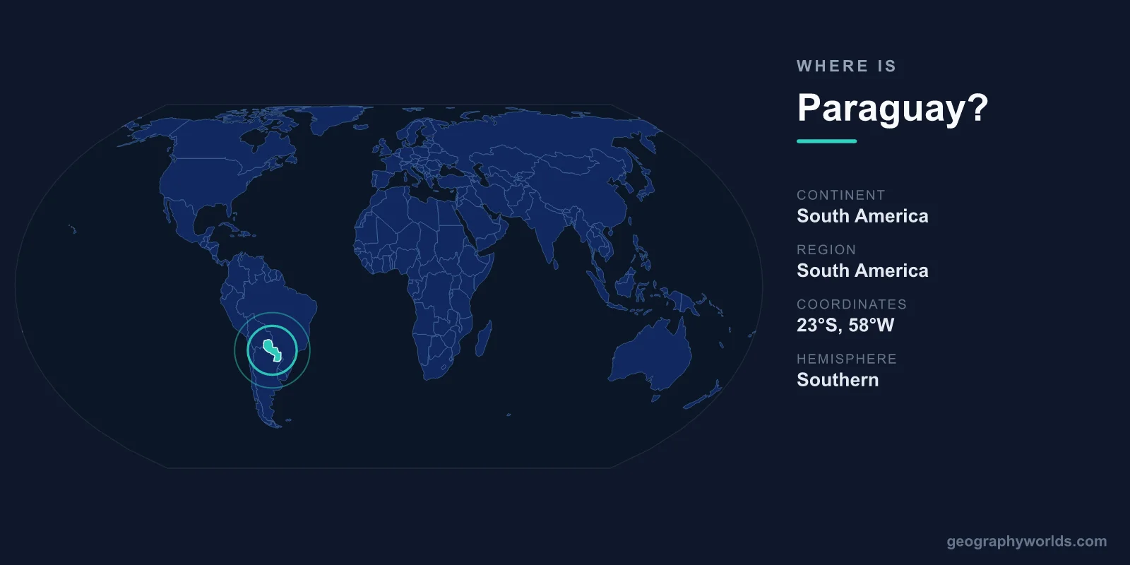
Paraguay is a landlocked country in the heart of South America, sitting just south of the equator in the Southern and Western Hemispheres, bordered by Argentina, Brazil, and Bolivia. Its capital, Asunción, lies on the eastern bank of the Paraguay River, the waterway that splits the country into two strikingly different halves. With a total area of roughly 406,752 square kilometres, Paraguay is one of only two landlocked nations in South America, the other being neighbouring Bolivia.
Where Exactly Is Paraguay on the Map?
Paraguay occupies a central position in the southern cone of South America, roughly between latitudes 19° and 28° south and longitudes 54° and 63° west. It has no coastline at all, lying several hundred kilometres inland from the Atlantic Ocean. To reach the sea, Paraguayan goods travel down the Paraguay and Paraná river systems toward the Río de la Plata estuary shared by Argentina and Uruguay, which makes these rivers the country's economic lifeline.
Despite being landlocked, Paraguay's position is far from isolated. It sits at the crossroads of the continent's largest economies, neighbouring both Brazil and Argentina, and is a founding member of the Mercosur trade bloc. If you want to learn more about the nation's history, regions, and travel highlights, see our full paraguay country guide.
The Countries That Border Paraguay
Paraguay shares land borders with three countries, and each frontier shapes its trade and culture in a different way:
- Argentina – to the south and west, forming the longest border, much of it traced by the Paraguay and Paraná rivers.
- Brazil – to the east, where the two countries jointly operate the colossal Itaipú hydroelectric dam on the Paraná River.
- Bolivia – to the northwest, across the sparsely populated Chaco plain, a border settled after the bitter Chaco War of the 1930s.
These neighbours have left deep marks on Paraguay. The triple-frontier region near Ciudad del Este, Brazil, and Argentina is one of the busiest commercial zones in South America, while centuries of contact with Argentina have shaped everything from cuisine to football.
A Country Divided by a River
The Paraguay River does more than provide transport; it carves the nation into two contrasting worlds. To the east lies the Región Oriental, a fertile, rolling landscape of subtropical forest, farmland, and gentle hills where the vast majority of Paraguayans live. This is where Asunción, the agricultural heartland, and most cities are found.
West of the river spreads the Región Occidental, better known as the Gran Chaco. This flat, semi-arid expanse of thorn scrub and seasonal wetlands covers more than half the national territory yet is home to only a small fraction of the population. It is one of South America's last great wilderness frontiers, rich in wildlife such as jaguars, giant anteaters, and the rare Chacoan peccary.
Climate, Terrain, and Natural Landmarks
Sitting astride the Tropic of Capricorn, Paraguay has a subtropical to tropical climate. Summers from December to February can be intensely hot, especially in the Chaco, while winters are mild. Rainfall is generous in the east and scarcer in the west, producing the divide between green farmland and dry scrubland.
The country is largely low-lying, with no significant mountain ranges, but it holds some remarkable features. The Itaipú Dam, shared with Brazil, was for decades the world's largest hydroelectric plant by output and supplies the bulk of Paraguay's electricity. To the south, the UNESCO-listed Jesuit Missions of La Santísima Trinidad de Paraná preserve the haunting ruins of 17th- and 18th-century missionary settlements. The Ñeembucú wetlands and the Cerro Corá national park round out a surprisingly varied natural inventory.
People, Language, and Identity
About 6 to 7 million people call Paraguay home, with roughly a third clustered in and around Asunción. The country is unusual in South America for its widespread bilingualism: both Spanish and Guaraní are official languages, and Guaraní, an Indigenous tongue, is spoken by a large majority of the population in daily life. This linguistic heritage gives Paraguay a distinctive cultural identity rooted in the fusion of European and Guaraní traditions.
Roman Catholicism is the dominant religion, and the nation is governed as a presidential republic. The currency is the Paraguayan guaraní (PYG), named after the same Indigenous people whose language defines so much of national life.
Frequently Asked Questions
Is Paraguay in North or South America?
Paraguay is firmly in South America, located near the centre of the continent in its southern cone, surrounded by Argentina, Brazil, and Bolivia.
Does Paraguay have a coastline?
No. Paraguay is landlocked and has no ocean coast. It reaches international waters through the Paraguay and Paraná rivers, which connect it to the Atlantic via the Río de la Plata.
What is the capital of Paraguay and where is it?
The capital is Asunción, one of the oldest cities in South America. It sits in the southwest of the country on the eastern bank of the Paraguay River, directly across from Argentina.
How big is Paraguay compared to other countries?
At about 406,752 square kilometres, Paraguay is roughly the size of Germany or the U.S. state of California, making it a mid-sized country on the South American stage.