
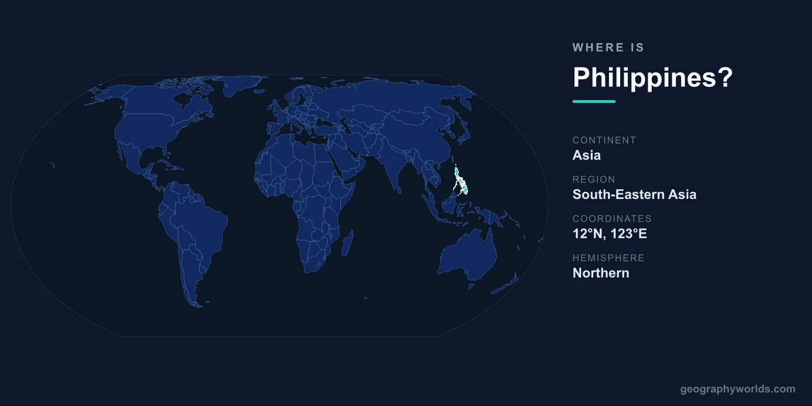
The Philippines is located in Southeast Asia, in the western Pacific Ocean, where it forms an archipelago of more than 7,600 islands lying just north of the equator and east of mainland Asia. Its capital, Manila, sits on the largest island, Luzon, and the entire country spans roughly 300,000 km² of land scattered across a vast stretch of tropical sea.
Where Exactly Is the Philippines?
The Philippines lies between approximately 5° and 19° North latitude and 117° and 127° East longitude, placing it firmly in the Northern and Eastern Hemispheres. To its west sits the South China Sea, to the east the Philippine Sea and the open Pacific, to the south the Celebes Sea, and to the north the Luzon Strait separating it from Taiwan.
Although it is an island nation with no land borders, its closest neighbors across the water include Taiwan to the north, Vietnam and China to the west, Malaysia and Indonesia to the south, and Palau to the east. This central position within maritime Southeast Asia has long made the islands a crossroads for trade, migration, and culture.
The Archipelago and Its Three Main Regions
The country's 7,600-plus islands are grouped into three major regions:
- Luzon — the largest island in the north, home to Manila, the seat of government, and the densely populated heartland.
- Visayas — a central cluster of islands including Cebu, Bohol, and Negros, known for beaches and the famous Chocolate Hills.
- Mindanao — the large southern island, rich in agriculture and cultural diversity.
Only about 2,000 of these islands are inhabited, and the largest eleven account for the vast majority of the land area. The result is one of the longest coastlines of any country on Earth, surrounded by some of the most biodiverse marine waters in the world, including the renowned Coral Triangle.
Position on the Pacific Ring of Fire
The Philippines sits along the western edge of the Pacific Ring of Fire, a horseshoe-shaped belt of intense seismic and volcanic activity. This explains the country's mountainous, volcanic terrain and active volcanoes such as Mayon and Taal, as well as its vulnerability to earthquakes. Its tropical location also places it directly in the path of Pacific typhoons, which form over warm waters to the east and frequently track across the islands between June and November.
Size, Climate, and People
With a land area of about 300,000 km², the Philippines is roughly the size of Italy or the United Kingdom, yet it is home to a population of around 115 million, making it one of the most populous nations in Southeast Asia. The climate is tropical and maritime, with warm temperatures year-round and distinct wet and dry seasons.
Filipino and English are the official languages, and the country is predominantly Roman Catholic, a legacy of more than three centuries of Spanish rule followed by American influence. The Philippine Peso (PHP) is the national currency. For a fuller overview of the nation's history, regions, and travel highlights, see our philippines country guide.
Frequently Asked Questions
What continent is the Philippines on?
The Philippines is part of the continent of Asia, specifically within the Southeast Asia region. It lies in the western Pacific Ocean, off the southeastern coast of the Asian mainland.
Does the Philippines share borders with any country?
No. As an archipelago, the Philippines has no land borders. Its boundaries are entirely maritime, with the nearest neighbors being Taiwan, China, Vietnam, Malaysia, Indonesia, and Palau across the surrounding seas.
How many islands does the Philippines have?
The Philippines is made up of more than 7,600 islands, though only around 2,000 are inhabited. They are organized into three main island groups: Luzon, the Visayas, and Mindanao.