
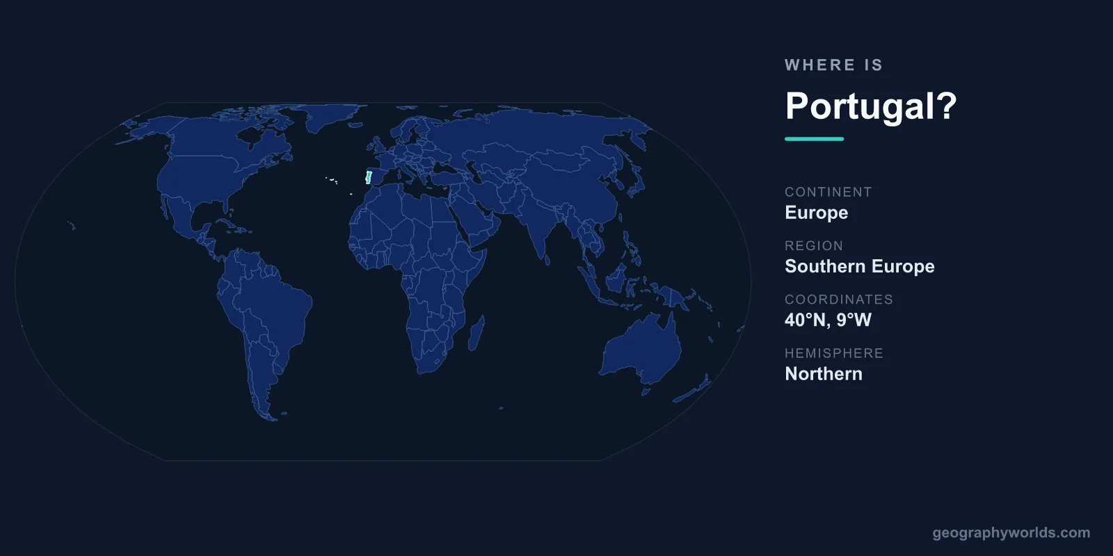
Portugal is located in southwestern Europe, occupying the western edge of the Iberian Peninsula, with a long Atlantic Ocean coastline to the west and south and a single land border with Spain to the north and east. Its capital is Lisbon, and the country covers about 92,212 km². Beyond the mainland, Portugal also includes the Atlantic island groups of the Azores and Madeira.
Where Portugal Sits on the Map
Portugal lies in the Northern and Western Hemispheres, roughly between 37° and 42° north latitude and 6° to 9° west longitude. It is the westernmost country in mainland Europe, and Cabo da Roca, just west of Lisbon, is continental Europe's most westerly point. The country stretches about 560 km from north to south and is relatively narrow, averaging around 220 km across.
To picture its place in the world, Portugal sits directly across the Atlantic from the United States and Canada, sharing a similar latitude to cities like Washington, D.C. Its position at the meeting point of Europe and the Atlantic made it a launchpad for the Age of Discovery, when navigators such as Vasco da Gama set sail to reach India and the Americas.
Borders and Neighbors
Portugal shares only one land border, with Spain, running about 1,214 km and making it one of the oldest defined frontiers in Europe. The rest of the country's edge meets water:
- North and east: Spain, the only bordering nation, with which Portugal forms the Iberian Peninsula.
- West and south: the Atlantic Ocean, giving Portugal roughly 1,793 km of mainland coastline.
This single-neighbor geography has given Portugal a remarkably stable territorial outline for centuries, while its Atlantic frontage has consistently turned the country toward the sea, trade, and exploration.
Mainland, Islands, and Terrain
Portuguese territory comes in three parts: the mainland on the Iberian Peninsula, plus two autonomous regions in the Atlantic. The Azores lie about 1,400 km west of Lisbon, while Madeira sits roughly 1,000 km to the southwest, closer to the African coast. Both are volcanic archipelagos and remain part of the European Union.
The mainland is split by the Tagus River, which empties into the Atlantic at Lisbon. North of the river the land is greener, hillier, and home to the country's highest mainland peak, the Serra da Estrela (1,993 m). South of the Tagus, the landscape flattens into the rolling plains of the Alentejo and the sun-baked beaches of the Algarve.
Cities and Regions
Lisbon, on the Tagus estuary near the Atlantic, is the capital and largest city. Porto, in the north along the Douro River, is the country's second city and lends its name to port wine. The Algarve in the far south is Portugal's best-known holiday coast, while the central university town of Coimbra and the wine valleys of the Douro round out the country's most recognizable regions.
For more on the country's regions, climate, and travel highlights, see our portugal country guide.
Climate and Landscape
Despite its long ocean frontage, Portugal has a Mediterranean climate, with warm, dry summers and mild, rainy winters. The Atlantic moderates temperatures along the coast, while the interior can be hotter and drier. The Algarve in the far south is one of Europe's sunniest regions, drawing visitors with more than 300 days of sunshine a year, whereas the green northwest around the Minho receives some of the heaviest rainfall in the country.
This range of conditions packs surprising variety into a compact territory. Within a few hours' drive you can move from cool, forested mountains and terraced vineyards in the north to flat cork-oak plains in the Alentejo and golden limestone cliffs along the southern coast. The Atlantic islands add even more diversity: Madeira is subtropical and lush year-round, while the Azores are cooler, mistier, and dramatically volcanic.
People and Place in Europe
Around 10 million people live in Portugal, with the largest concentrations in the Lisbon and Porto metropolitan areas. The official language is Portuguese, spoken by more than 250 million people worldwide thanks to the country's former global empire. Portugal is a semi-presidential republic and has been a member of the European Union since 1986, using the Euro (EUR) as its currency. Its location at the edge of Europe and the gateway to the Atlantic still shapes its role as a bridge between the continent, Africa, and the Americas.
Frequently Asked Questions
What continent is Portugal on?
Portugal is on the continent of Europe, in the southwestern part known as the Iberian Peninsula, which it shares with Spain.
What countries border Portugal?
Portugal borders only one country by land: Spain. Its entire western and southern edge faces the Atlantic Ocean rather than another nation.
Is Portugal part of Spain?
No. Portugal is an independent country with its own language, government, and currency. It shares the Iberian Peninsula with Spain but has been a separate, sovereign nation for centuries, using the Euro and the Portuguese language.
What is the capital of Portugal?
The capital is Lisbon, located on the central Atlantic coast at the mouth of the Tagus River. It is Portugal's largest city and its political, cultural, and economic center.