
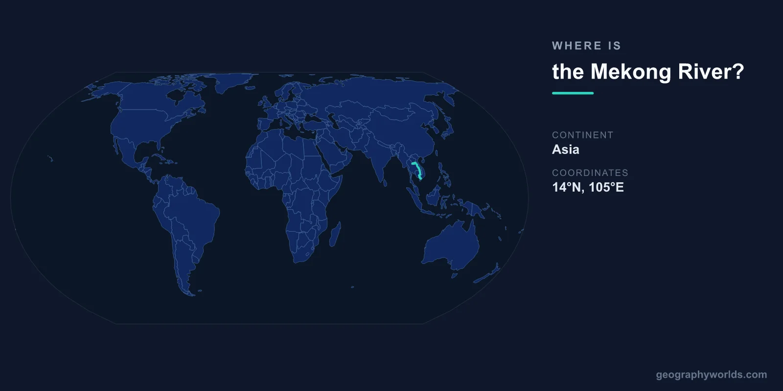
The Mekong River is located in Southeast and East Asia, flowing from its source on the Tibetan Plateau in China at approximately 33°N, 94°E to its delta on the South China Sea in Vietnam at approximately 10°N, 106°E. At 4,350 kilometers, it is Southeast Asia's longest river and the world's 12th longest.
Introduction
The Mekong flows through six countries: China, Myanmar, Laos, Thailand, Cambodia, and Vietnam. It is known as the Lancang River in China. Its basin supports roughly 60 million people who depend on it for food, water, transportation, and livelihoods, particularly through one of the world's largest inland fisheries.

Exact Location & Coordinates
- Source: ~33°N, 94°E (Tibetan Plateau, China)
- Mouth: ~10°N, 106°E (South China Sea, Vietnam)
- Flow Direction: North to south through Southeast Asia
- Length: 4,350 km
On a world map, the Mekong flows from the highlands of Tibet southward through the heart of mainland Southeast Asia. It runs through some of the most rugged and remote terrain in Asia, including deep gorges in China's Yunnan province where it runs parallel to the Yangtze and Salween rivers within just 70 kilometers of each other.
The river's lower course defines the border between Laos and Myanmar briefly, then between Laos and Thailand for roughly 850 kilometers. It then flows through Cambodia, where it connects to Tonle Sap lake, before splitting into multiple channels in Vietnam's Mekong Delta and reaching the South China Sea.
Surrounding Countries & Borders
- China: Upper Mekong (called Lancang)
- Myanmar: Brief border with Laos
- Laos: Forms border with Thailand, through Vientiane
- Thailand: Western bank along Laos border
- Cambodia: Through Phnom Penh, connecting to Tonle Sap
- Vietnam: Mekong Delta to the South China Sea
China controls the upper Mekong, where it has built a series of large dams on the Lancang. Laos and Thailand share the middle Mekong, with the river forming their mutual border. Vientiane, Laos' capital, sits on the Mekong across from Thailand.
Cambodia's capital Phnom Penh is at the confluence of the Mekong and Tonle Sap rivers. Vietnam's Mekong Delta, known as the "Rice Bowl of Vietnam," is one of the most productive agricultural regions in Southeast Asia, producing a significant share of Vietnam's rice exports.
Geographic Context
- Drainage Basin: ~795,000 km²
- Tonle Sap: Unique seasonal flow reversal in Cambodia
- Mekong Delta: ~40,000 km² in southern Vietnam
The Mekong's most remarkable feature is its connection to Cambodia's Tonle Sap lake. During the wet season, the Mekong's water level rises so dramatically that the Tonle Sap River actually reverses direction, flowing backward into the lake and expanding it from roughly 2,500 km² to over 16,000 km². This creates one of the world's most productive freshwater ecosystems.
The Mekong Delta in Vietnam covers roughly 40,000 square kilometers, a flat, low-lying landscape of rice paddies, fruit orchards, and river channels. About 17 million people live in the delta, which produces over half of Vietnam's rice and two-thirds of its aquaculture output. The delta is extremely vulnerable to sea-level rise.
Physical Characteristics
- Length: 4,350 km
- Drainage Basin: ~795,000 km²
- Discharge: ~16,000 m³/s at mouth
- Elevation Drop: ~4,500 m from source to sea
The Mekong drops roughly 4,500 meters from its source on the Tibetan Plateau to sea level, with most of the drop occurring in the steep upper reaches through China. In Yunnan province, the river runs through gorges over 3,000 meters deep. The middle and lower sections are much gentler, flowing through broad valleys and floodplains.
The river supports the world's largest inland fishery by catch volume, producing an estimated 2.6 million tons of fish annually. This fishery provides the primary protein source for tens of millions of people in the basin. Migratory fish species travel hundreds of kilometers along the river to spawn.
Why It Matters
- Food Security: Supports 60 million people, world's largest inland fishery
- Dam Controversies: China's upstream dams affect downstream nations
- Rice Production: Mekong Delta produces major share of global rice exports
The Mekong is at the center of one of Asia's most contentious water disputes. China has built 11 major dams on the upper Mekong (Lancang), altering the river's natural flow patterns and sediment transport. Downstream nations — particularly Cambodia and Vietnam — argue that these dams are reducing fish stocks, shrinking the Tonle Sap, and causing erosion in the Mekong Delta.
Climate change compounds these challenges. Rising sea levels threaten the low-lying Mekong Delta with saltwater intrusion and flooding. Changing monsoon patterns affect the river's flow timing. The combination of upstream dams, climate change, and population growth makes the Mekong one of the most at-risk major river systems in the world.
Key Facts
- The Mekong flows from ~33°N, 94°E in Tibet to ~10°N, 106°E in Vietnam.
- At 4,350 km, it is Southeast Asia's longest river, passing through 6 countries.
- It supports the world's largest inland fishery (~2.6 million tons of fish/year).
- Cambodia's Tonle Sap lake has a unique seasonal flow reversal connected to the Mekong.
- The Mekong Delta produces over 50% of Vietnam's rice.
Fun Facts
- The Tonle Sap River flows backward for months each year when the Mekong floods — one of the world's most unusual hydrological phenomena.
- In Yunnan, China, the Mekong, Yangtze, and Salween rivers run within 70 km of each other in parallel gorges.
- Giant Mekong catfish, the world's largest freshwater fish, can weigh up to 300 kg.
- The Mekong has more fish species (~1,100) than any river except the Amazon and Congo.
Final Thoughts
The Mekong River flows 4,350 kilometers from the Tibetan Plateau through six Southeast Asian nations to the South China Sea. Centered between approximately 33°N, 94°E and 10°N, 106°E, it sustains 60 million people and the world's largest inland fishery. Its unique connection to Tonle Sap, its rich rice-producing delta, and its role in regional geopolitics make the Mekong one of the most important rivers on the world map.
Test Your Knowledge!
Think you know where things are on the map? Test your skills!
Play Geography Games →