
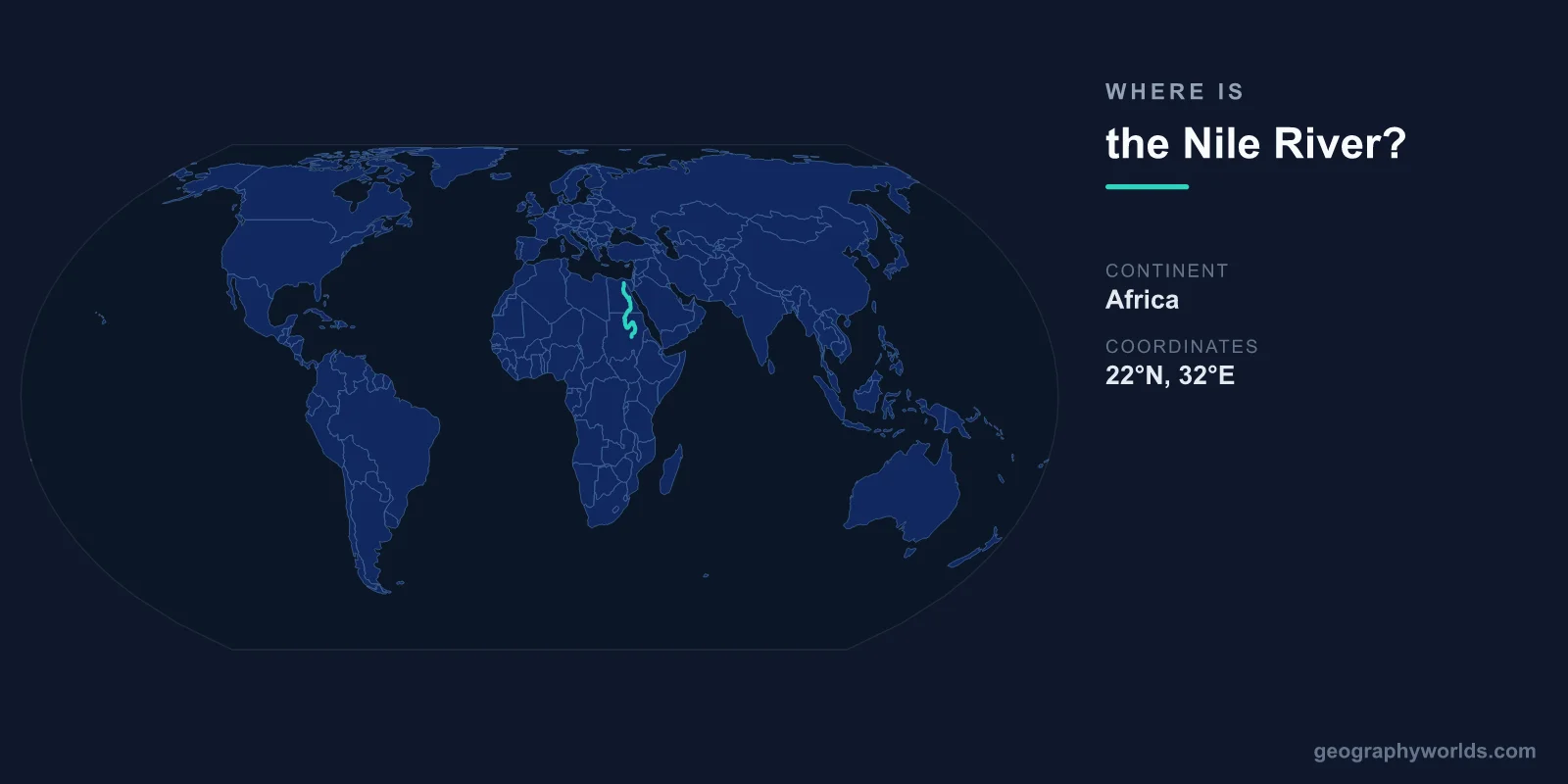
The Nile River flows through northeastern Africa, from its most distant source in Burundi at approximately 3°S, 29°E to its delta on the Mediterranean coast of Egypt at approximately 31°N, 31°E. At roughly 6,650 kilometers, it is generally considered the longest river in the world, though the Amazon rivals it depending on measurement methods.
Introduction
The Nile flows northward — unusual among major world rivers — through 11 countries. It has two main tributaries: the White Nile, originating from Lake Victoria in East Africa, and the Blue Nile, originating from Lake Tana in Ethiopia. The two merge at Khartoum, Sudan, before the combined Nile flows through Egypt to the Mediterranean.

Exact Location & Coordinates
- Farthest Source: ~3°S, 29°E (Burundi, Kagera River)
- Lake Victoria Outlet: ~0°, 33°E (Jinja, Uganda)
- Confluence at Khartoum: 15°37'N, 32°32'E
- Mouth (Delta): ~31°N, 31°E (Mediterranean, Egypt)
On a world map, the Nile is the distinctive river flowing south to north through eastern Africa. It is easily traced from the green Nile Delta on Egypt's Mediterranean coast southward through the Sahara Desert (where it appears as a narrow green ribbon) to Khartoum, where it splits into the Blue Nile heading southeast to Ethiopia and the White Nile heading south to Lake Victoria.
The Nile Delta, one of the world's largest river deltas, fans out across northern Egypt from Cairo to the Mediterranean coast. This triangular green area amid the desert is one of the most recognizable features on satellite images of Africa.
Surrounding Countries & Borders
- Egypt: Lower Nile, delta, and mouth
- Sudan: Confluence of White and Blue Nile at Khartoum
- South Sudan: Sudd wetland region
- Uganda: Source at Lake Victoria outlet
- Ethiopia: Blue Nile source (Lake Tana)
- Other Basin Countries: Burundi, Rwanda, DR Congo, Kenya, Tanzania, Eritrea
Egypt is the most Nile-dependent country on Earth — over 95 percent of Egypt's population lives within a few kilometers of the Nile or its delta. Without the Nile, Egypt would be entirely desert. Sudan contains the confluence of the White and Blue Nile at Khartoum, as well as several large dams.
Ethiopia contributes roughly 85 percent of the Nile's water through the Blue Nile and other tributaries, despite Egypt historically claiming the largest share of Nile water. The Grand Ethiopian Renaissance Dam on the Blue Nile, completed in recent years, has been a major source of diplomatic tension between Ethiopia, Sudan, and Egypt.
Geographic Context
- Flow Direction: South to north (unusual for major rivers)
- Drainage Basin: ~3.3 million km² across 11 countries
- Two Main Tributaries: White Nile (from Lake Victoria) and Blue Nile (from Ethiopia)
The Nile's northward flow across the Sahara is one of its most remarkable features. The river crosses through the world's largest hot desert for roughly 2,700 kilometers without receiving a single tributary, surviving only because of the massive water volume it gathers from the equatorial and Ethiopian highlands upstream.
The White Nile contributes a steady, year-round flow from the great lakes of East Africa. The Blue Nile, though shorter, provides roughly 85 percent of the Nile's water during the flood season (July-October) when Ethiopian monsoon rains swell it dramatically. This annual flood deposited the fertile silt that made ancient Egyptian agriculture possible.
Physical Characteristics
- Length: ~6,650 km (world's longest or second-longest river)
- Drainage Basin: ~3.3 million km²
- Discharge at Mouth: ~2,830 m³/s (modest compared to Amazon)
- Delta Area: ~24,000 km²
Despite being the world's longest river, the Nile's discharge is relatively modest — roughly 1/70th of the Amazon's. This is because much of its course crosses the arid Sahara, where evaporation claims a significant portion of the flow. The Sudd wetland in South Sudan, one of the world's largest swamps, absorbs roughly half the White Nile's water.
The six cataracts (rapids) of the Nile between Khartoum and Aswan historically marked the limits of navigation. The Aswan High Dam, completed in 1970, created Lake Nasser, one of the world's largest artificial lakes at 550 km long. The dam ended the annual Nile flood and dramatically changed Egyptian agriculture and ecology.
Why It Matters
- Ancient Egypt: The Nile made one of humanity's earliest civilizations possible
- Water Security: Over 250 million people depend on the Nile today
- Geopolitics: Nile water-sharing is a major diplomatic issue
The Nile River is synonymous with ancient Egyptian civilization. The predictable annual flood deposited nutrient-rich silt across the floodplain, creating some of the most fertile agricultural land in the ancient world. The pyramids, temples, and cities of ancient Egypt were all built along the Nile, and the river remains the lifeline of modern Egypt.
Today, over 250 million people in 11 countries depend on the Nile for water, food, and energy. Competition for Nile water is intensifying as populations grow and climate change alters rainfall patterns. The Grand Ethiopian Renaissance Dam has brought Nile water politics to the forefront of African diplomacy, with Egypt, Sudan, and Ethiopia seeking agreement on water allocation.
Key Facts
- The Nile flows from ~3°S, 29°E in Burundi to ~31°N, 31°E in Egypt.
- At ~6,650 km, it is generally considered the world's longest river.
- It flows through or borders 11 African countries.
- The Blue Nile from Ethiopia contributes ~85% of the Nile's water during flood season.
- Over 95% of Egypt's population lives within a few kilometers of the Nile.
Fun Facts
- The Nile flows northward through the entire Sahara Desert without receiving a single tributary.
- Ancient Egyptians called the Nile flood "the Gift of the Nile" — it made their civilization possible.
- The Nile Delta is sinking and shrinking due to the Aswan Dam trapping sediment upstream.
- The word "Nile" may derive from the Greek "Neilos," meaning river valley.
Final Thoughts
The Nile River flows 6,650 kilometers northward through Africa, from its sources near the equator to the Mediterranean coast of Egypt. Its path from approximately 3°S to 31°N crosses 11 countries and the entire Sahara Desert. As the lifeline of ancient Egypt and modern East Africa, the Nile is one of the most historically significant and geographically recognizable rivers on the world map.
Test Your Knowledge!
Think you know where things are on the map? Test your skills!
Play Geography Games →