
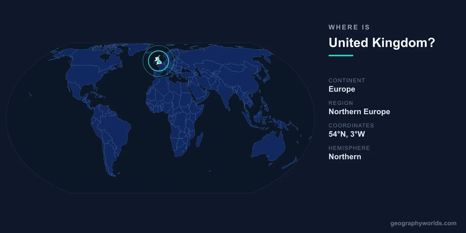
The United Kingdom is located in northwestern Europe, occupying the British Isles off the northwestern coast of the European mainland. It is made up of four nations — England, Scotland, Wales, and Northern Ireland — covering a combined area of about 242,495 km², with its capital and largest city at London.
Where Exactly Is the United Kingdom?
The UK sits entirely within the Northern and Western Hemispheres, between roughly 49 and 61 degrees north latitude. Most of the country lies on the island of Great Britain — the largest island in Europe — while Northern Ireland occupies the northeastern corner of the neighbouring island of Ireland. The UK is bordered by the North Sea to the east, the English Channel to the south, the Irish Sea to the west, and the open Atlantic Ocean to the north and northwest.
One of the most important geographic facts about the UK is that the Prime Meridian — the line of zero degrees longitude — passes through Greenwich in London. This makes the country the reference point for time zones worldwide, and Greenwich Mean Time (GMT) is named after it. Despite its northerly latitude, comparable to that of southern Alaska or Labrador in Canada, the UK enjoys a relatively mild, temperate maritime climate thanks to the warming influence of the North Atlantic Drift.
The Four Nations of the United Kingdom
The UK is a union of four constituent countries, each with its own distinct identity, culture, and in some cases a devolved government:
- England — the largest and most populous nation, in the south and centre of Great Britain, home to London.
- Scotland — occupies the northern third of Great Britain, with its capital at Edinburgh.
- Wales — lies to the west of England on Great Britain, with its capital at Cardiff.
- Northern Ireland — the only part on the island of Ireland, with its capital at Belfast.
This is why the country's full official name is the "United Kingdom of Great Britain and Northern Ireland." It is worth noting the difference between commonly confused terms. "Great Britain" refers only to the island containing England, Scotland, and Wales. The "United Kingdom" is the full political state, which also includes Northern Ireland. The "British Isles" is a wider geographic term covering Great Britain, the whole of Ireland, and thousands of smaller islands.
Borders and Neighbouring Countries
The UK is unusual among European nations because it is an island state with only one land border. That single frontier, running roughly 500 km across the island of Ireland, separates Northern Ireland from the Republic of Ireland — the UK's only land neighbour and an independent country.
Across the sea, the UK's closest continental neighbour is France, separated by the English Channel. At its narrowest point, the Strait of Dover, only about 33 km of water lies between the two countries — a gap now spanned beneath the seabed by the Channel Tunnel, which connects Folkestone in England with Calais in France. Other near neighbours by sea include Belgium and the Netherlands across the southern North Sea, and Norway and Denmark further to the northeast. This island geography has profoundly shaped British history, encouraging seafaring, trade, naval power, and a measure of separation from continental affairs.
Landscape and Physical Geography
For a moderately sized country, the UK packs in remarkable geographic variety. The terrain generally rises from the gentle, fertile lowlands of southern and eastern England toward the rugged uplands of the north and west. The Scottish Highlands contain the country's tallest peak, Ben Nevis, at 1,345 metres. Wales is dominated by the mountains of Eryri (Snowdonia), while northern England features the Pennine hills — often called the "backbone of England" — and the scenic Lake District.
The UK also boasts an exceptionally long and indented coastline stretching for thousands of kilometres, meaning no point in the country is more than about 113 km from the sea. Major rivers include the Thames, which flows through London, and the Severn, the longest river in the UK. The combination of mild climate, abundant rainfall, and varied relief has shaped a green, densely settled landscape that is home to around 67 million people. To explore more about the nation's regions, history, and culture, see our united kingdom country guide.
Frequently Asked Questions
What continent is the United Kingdom on?
The United Kingdom is located in Europe, specifically in the region of Northern or northwestern Europe. It lies on the British Isles, just off the northwestern coast of the European mainland, separated from continental Europe by the English Channel and the North Sea.
Is the United Kingdom the same as England?
No. England is just one of the four nations that make up the United Kingdom. The UK also includes Scotland, Wales, and Northern Ireland. Using "England" to mean the whole UK is a common mistake, since England is only the largest and most populous part of the country.
What countries border the United Kingdom?
The United Kingdom shares only one land border, between Northern Ireland and the Republic of Ireland. As an island nation, the rest of the UK is surrounded by water, with France as its nearest neighbour across the English Channel.
What are the coordinates of the United Kingdom?
The United Kingdom is centred at approximately 55 degrees north latitude and 3 degrees west longitude. Its capital, London, sits very close to the Prime Meridian (zero degrees longitude) at Greenwich, the global reference point for longitude and time.