
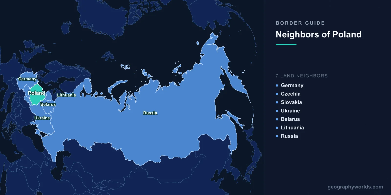
Poland shares land borders with 7 countries: Germany (467 km), the Czech Republic (796 km), Slovakia (541 km), Ukraine (535 km), Belarus (418 km), Lithuania (104 km), and Russia via the Kaliningrad exclave (210 km), totaling approximately 3,071 km of land boundaries.
Introduction
Situated in the heart of Central Europe, Poland occupies a position that has made it a crossroads of European civilizations for over a thousand years. Its borders have shifted dramatically throughout history — perhaps more than any other major European nation. The current boundaries, established after World War II, reflect the massive westward shift that moved Poland's territory from the eastern Kresy to formerly German Silesia and Pomerania. Today, Poland's borders connect it to both the EU's western core and the Eastern European nations beyond.

Complete List of Countries Bordering Poland
- Czech Republic: 796 km
- Slovakia: 541 km
- Ukraine: 535 km
- Germany: 467 km
- Belarus: 418 km
- Russia (Kaliningrad): 210 km
- Lithuania: 104 km
Poland's seven borders connect it to the Germanic, Slavic, and Baltic worlds. The western and southern borders with Germany, Czech Republic, and Slovakia are all internal EU/Schengen boundaries with free movement. The eastern borders with Ukraine, Belarus, and Russia mark the external frontier of both the EU and NATO.
Western and Southern Borders
- Germany border: 467 km — follows the Oder and Neisse rivers
- Czech Republic border: 796 km — Poland's longest, through the Sudetes Mountains
- Slovakia border: 541 km — runs through the Tatra Mountains
The Oder-Neisse line, established in 1945, forms Poland's 467 km border with Germany. This boundary follows the Oder River and its tributary the Neisse, replacing Germany's pre-war eastern provinces with Polish territory. Germany formally recognized this border in 1990 as part of reunification. Today, twin cities like Frankfurt (Oder)/Słubice demonstrate the close cross-border integration.
Poland's longest border is with the Czech Republic at 796 km, running through the Sudetes and Carpathian mountain ranges. The Silesian region spans both sides, sharing cultural and industrial heritage. The border follows mountain ridges for much of its length, passing through some of Central Europe's most scenic landscapes.
The Polish-Slovak border of 541 km crosses the Tatra Mountains, the highest range in the Carpathians. The twin resort towns of Zakopane (Poland) and Tatranská Lomnica (Slovakia) sit on either side of these dramatic peaks, which reach 2,655 meters at Gerlachovský štít on the Slovak side.
Eastern Borders: Ukraine, Belarus, and Lithuania
- Ukraine border: 535 km — the EU's eastern frontier
- Belarus border: 418 km — heavily fortified since the 2021 migration crisis
- Lithuania border: 104 km — connects Poland to the Baltic states
Poland's borders with Ukraine (535 km) and Belarus (418 km) form part of the EU's external eastern frontier. The Polish-Ukrainian border has gained enormous strategic significance since Russia's 2022 invasion of Ukraine, becoming a major corridor for refugees and military aid. The Medyka-Shehyni crossing became one of Europe's busiest border points during the refugee crisis.
The Polish-Belarusian border was the site of a major confrontation in 2021-2022 when Belarus deliberately funneled migrants toward Poland in what was widely described as hybrid warfare. Poland constructed a steel barrier along much of this frontier in response.
Poland's 104 km border with Lithuania in the northeast is the shortest, connecting Poland to the Baltic states. The Suwałki Gap — the narrow strip of Polish-Lithuanian territory between Belarus and Russia's Kaliningrad — is considered one of the most strategically sensitive points in NATO's eastern flank.
The Kaliningrad Border
- Russia (Kaliningrad) border: 210 km — border with a Russian exclave on the Baltic
- Strategic significance: Separates mainland Russia from its Baltic military assets
Poland shares 210 km of border with Russia's Kaliningrad exclave, the former German city of Königsberg transferred to the Soviet Union after World War II. This border represents a NATO-Russia frontier of high strategic sensitivity. Kaliningrad hosts Russia's Baltic Fleet and is believed to house nuclear-capable missiles, making this relatively short border one of the most heavily monitored in Europe.
Historical Border Changes
Poland's borders have been among the most volatile in European history. The country was partitioned out of existence three times (1772, 1793, 1795) between Russia, Prussia, and Austria. Reborn in 1918, Poland's interwar borders extended much further east, including cities like Lwów (now Lviv, Ukraine) and Wilno (now Vilnius, Lithuania). After World War II, the Potsdam Agreement shifted Poland approximately 200 km westward: the eastern Kresy was absorbed by the Soviet Union, while Poland received German territories east of the Oder-Neisse line. These massive border shifts involved the displacement of millions of people and remain deeply embedded in Polish national consciousness.
Key Facts
- Poland borders 7 countries, connecting Western, Eastern, and Northern Europe
- The Czech border (796 km) is Poland's longest
- Poland's eastern borders form the external frontier of both the EU and NATO
- The Suwałki Gap between Poland/Lithuania and Belarus/Kaliningrad is NATO's most strategic corridor
- Poland's borders shifted approximately 200 km westward after World War II
Fun Facts
- Poland once had no borders at all — between 1795 and 1918, the country was entirely partitioned among Russia, Prussia, and Austria.
- The Oder-Neisse line was drawn with a crayon on a map at the Potsdam Conference in 1945, reshaping Central Europe.
- The Suwałki Gap is just 65 km wide — NATO's narrowest and most vulnerable corridor connecting the Baltic states to the rest of the alliance.
- Zakopane, Poland's premier mountain resort, is closer to Bratislava (Slovakia's capital) than to Warsaw.
Final Thoughts
Poland's seven borders encapsulate the complexities of Central European geography and history. From the post-war Oder-Neisse line with Germany to the strategic flashpoints along the eastern frontier, Poland sits at the meeting point of Western and Eastern Europe. Its borders reflect centuries of shifting allegiances, devastating wars, and remarkable resilience.
Test Your Knowledge!
Think you know your borders and boundaries? Try our interactive geography quiz!
Play Geography Games →