
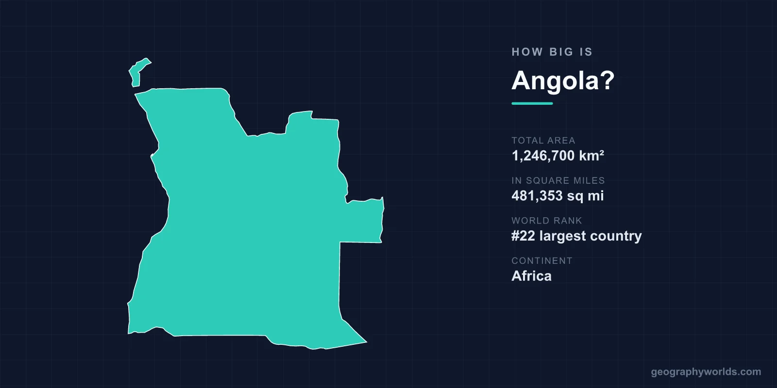
Angola covers a total area of 1,246,700 km² (481,353 sq mi), making it the 22nd largest country in the world — slightly less than twice the size of the U.S. state of Texas. That vast footprint also makes Angola the seventh-largest country in Africa and the second-largest Portuguese-speaking nation on Earth, behind only Brazil.
Just How Big Is Angola?
At 1,246,700 km², Angola accounts for roughly 0.84% of the planet's total land surface of about 148.94 million km². The country stretches approximately 1,300 km from its northern border to its southern frontier and around 1,200 km from the Atlantic coast in the west to its eastern boundary. Along the ocean, Angola boasts a coastline of about 1,600 km facing the South Atlantic.
To picture that scale, imagine a territory large enough to swallow several mid-sized nations whole. Angola is bigger than France, Spain, Germany or any single country in Western Europe, yet it remains one of the more sparsely populated large nations on the continent, leaving enormous stretches of wilderness, savanna and highland plateau largely undeveloped.
How Angola Compares to Other Places
Size is easiest to grasp through direct comparison, and Angola lends itself to plenty of striking ones:
- Versus Texas: Angola is slightly less than twice the size of Texas (which covers about 695,662 km²).
- Versus France: At 640,679 km², France would fit inside Angola nearly twice over — Angola is roughly 1.9 times larger.
- Versus the United Kingdom: You could fit the UK (about 243,610 km²) inside Angola roughly five times.
- Versus its neighbors: Angola is larger than Namibia and far larger than the Republic of the Congo and Zambia, the countries it borders.
Within Africa, only Algeria, the Democratic Republic of the Congo, Sudan, Libya, Chad and Niger are larger, placing Angola firmly among the giants of the continent.
The Lay of the Land
Angola's territory is far from uniform. A narrow coastal plain runs along the Atlantic before rising sharply to a vast central plateau, much of which sits between 1,000 and 2,000 m above sea level. This high interior, often called the planalto, gives Angola a cooler, more temperate climate than its tropical latitude would suggest.
The country's highest point is Mount Moco, reaching 2,620 m (8,596 ft) in the central highlands. The landscape grades dramatically from north to south: humid tropical forest dominates the far north, including the oil-rich Cabinda exclave, while the arid fringe of the Namib Desert pushes up from the south. The cold offshore Benguela Current cools the coastline and keeps the southern shore surprisingly dry and semi-arid.
A Country Split by Geography
One quirk of Angola's size and shape is that it is not a single connected block. The province of Cabinda is physically separated from the rest of the country by a narrow strip of the Democratic Republic of the Congo along the lower Congo River. Despite covering only a small slice of Angola's total area, Cabinda is hugely significant, holding much of the nation's offshore oil wealth.
The interior highlands are also a continental water tower. The Okavango River, which famously fans out into Botswana's Okavango Delta, has its source in Angola's highlands, as do tributaries feeding the Congo and Zambezi systems. Decades of limited access during the country's long civil conflict left many of these regions remote and ecologically intact.
Standout Natural Features
Such a large and varied territory hosts some of Africa's most dramatic scenery. Highlights include:
- Kalandula Falls: one of the largest waterfalls in Africa by volume, plunging around 105 m and spreading up to 400 m wide in the rainy season.
- The Maiombe Forest: a dense tropical rainforest in the north, part of the wider Congo Basin ecosystem.
- The Namib fringe: ancient desert sands meeting the Atlantic along a notoriously shipwreck-strewn coast.
- The central plateau: rolling highland grasslands averaging roughly 1,200 m in elevation.
Angola's climate is broadly tropical with two clear seasons — a wet season from roughly October to April and a dry season from May to September — though altitude and the Benguela Current create sharp regional contrasts. For more on the country's geography, history and culture, see our angola country guide.
Frequently Asked Questions
Is Angola bigger than Texas?
Yes. Angola covers 1,246,700 km², which is slightly less than twice the size of Texas (about 695,662 km²). Angola is the larger of the two by a wide margin.
Where does Angola rank in size?
Angola is the 22nd largest country in the world by total area and the seventh-largest country in Africa. It is also the second-largest Portuguese-speaking country, after Brazil.
What is the highest point in Angola?
The highest point is Mount Moco at 2,620 m (8,596 ft) above sea level, located in the central highlands. Much of the country's interior sits on a plateau between 1,000 and 2,000 m high.
How long is Angola's coastline?
Angola has about 1,600 km of coastline along the South Atlantic Ocean, cooled by the Benguela Current, which gives the southern shore its semi-arid, desert-edged character.