
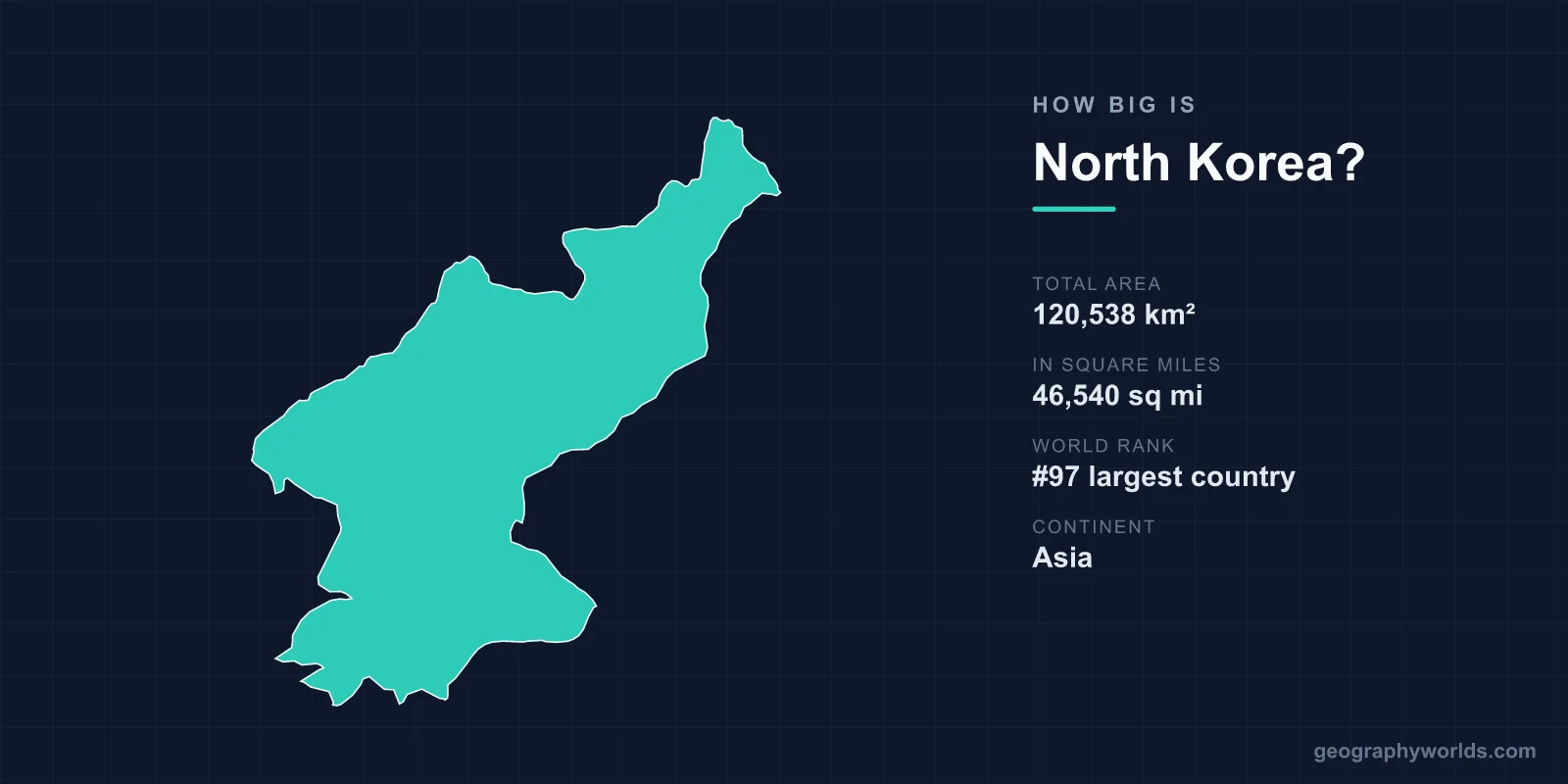
North Korea covers a total area of 120,538 km² (46,540 sq mi), making it the 97th largest country in the world — roughly the size of the U.S. state of Mississippi. Officially the Democratic People's Republic of Korea, it occupies the northern half of the Korean Peninsula in East Asia, sharing the landmass with South Korea and bordering China and Russia to the north.
Putting 120,538 km² in Perspective
North Korea's area accounts for about 0.08% of the Earth's total land surface of roughly 148.94 million km². That places it firmly in the lower-middle tier of nations by size — bigger than countries like Portugal or Hungary, but far smaller than continental giants.
Useful comparisons help anchor the figure:
- Versus a U.S. state: Almost identical to Mississippi (~125,000 km²), and a touch larger than the country of Bulgaria.
- Versus South Korea: At 100,210 km², South Korea is smaller — North Korea is about 1.2 times its size, though South Korea has roughly twice the population.
- Versus the United Kingdom: The UK spans 243,610 km², so North Korea is just under half (about 49%) the size of Britain.
- Versus the whole peninsula: The Korean Peninsula totals around 220,000 km², and North Korea holds roughly 55% of it.
Dimensions and Borders
North Korea measures approximately 640 km from north to south and about 370 km from east to west, giving it an elongated, somewhat rectangular shape. Despite its modest land area, it has a substantial coastline of around 2,495 km, fronting two seas: the Yellow Sea (West Sea) on its western flank and the Sea of Japan (East Sea) to the east.
Its land borders are dominated by China, with which it shares roughly 1,400 km marked largely by the Yalu (Amnok) and Tumen rivers. A short 18 km frontier with Russia sits at the far northeast. To the south, the heavily fortified Demilitarized Zone (DMZ) — about 250 km long and 4 km wide — separates it from South Korea along the 38th parallel.
A Mountainous, Rugged Land
Roughly 80% of North Korea is mountainous, making it one of the most rugged countries in East Asia. The Nangnim and Hamgyong ranges form the rocky spine of the interior, leaving only narrow coastal plains and river valleys for settlement and farming. As a result, only about 20% of the land is arable, a constraint that has long shaped the country's agriculture and food security.
The highest point is Paektu Mountain at 2,744 m (9,003 ft), a volcanic peak straddling the Chinese border and revered across both Koreas as a national symbol. Its summit cradles Heaven Lake (Chŏnji), one of the highest crater lakes on Earth. The volcano produced a massive eruption around 946 CE and last showed activity in the early 20th century; it is still classed as active.
Climate Across a Compact Country
For its size, North Korea sees sharp climatic contrasts. It has a continental, monsoon-influenced climate with long, cold, dry winters and short, hot, humid summers. The mountainous north can plunge below -30°C in deep winter, while summer monsoon rains — concentrated from June to September — bring most of the annual precipitation and occasional destructive flooding.
This combination of rugged highlands and a short growing season helps explain why so little of the territory is cultivated, and why the river valleys of the west coast hold the bulk of the population and farmland.
Why the Size Matters
Though only the 97th largest country by area, North Korea's geography is strategically dense. It commands two coastlines, controls major river borders with China, and sits at a crossroads between China, Russia, Japan, and South Korea. The DMZ, an unintended consequence of the country's small footprint pressed against a tense border, has become one of the world's most accidental wildlife sanctuaries — a strip of untouched land where rare species thrive amid the fortifications. For more on the country's people, economy, and culture, see our north korea country guide.
Frequently Asked Questions
Is North Korea bigger than South Korea?
Yes. North Korea is about 120,538 km² compared with South Korea's 100,210 km², making it roughly 20% larger by land area. However, South Korea has a much larger population — around twice as many people.
What U.S. state is North Korea closest to in size?
North Korea is almost the same size as Mississippi, which covers about 125,000 km². It is also comparable to Pennsylvania and slightly larger than the state of Virginia.
How long is North Korea's coastline?
North Korea has roughly 2,495 km of coastline, split between the Yellow Sea (West Sea) on the west and the Sea of Japan (East Sea) on the east, giving the relatively small country access to two separate maritime zones.
What is the highest point in North Korea?
Paektu Mountain at 2,744 m (9,003 ft) is the highest peak in North Korea and on the entire Korean Peninsula. This active volcano holds the famous Heaven Lake in its summit crater and is a powerful national and cultural symbol.