
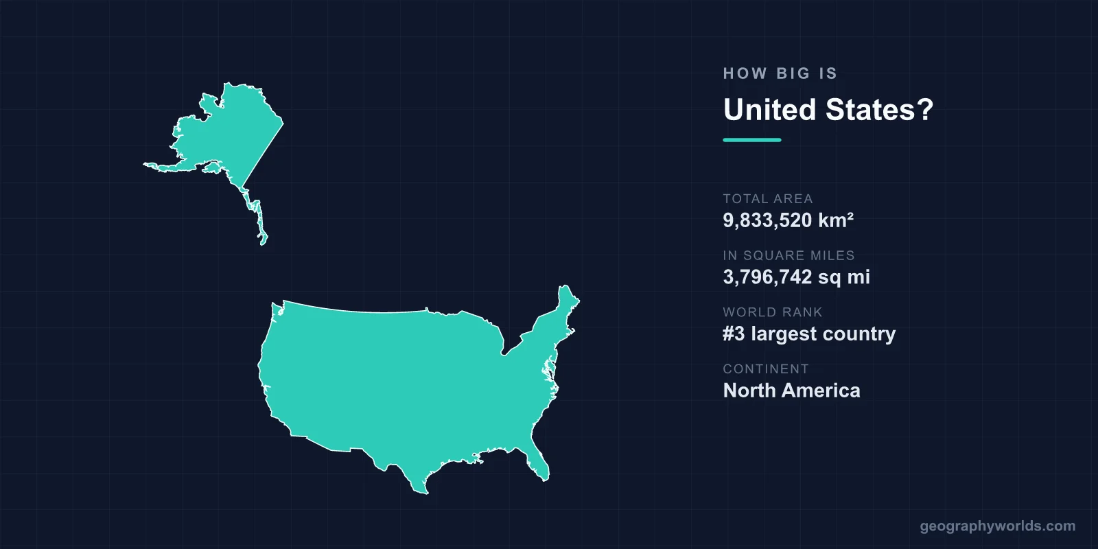
The United States covers a total area of 9,833,520 km² (3,796,742 sq mi), making it the 3rd largest country in the world after Russia and Canada. Spanning roughly 6.6% of Earth's land surface, it is a continental-scale nation whose 50 states stretch from the Arctic reaches of Alaska to the tropical islands of Hawaii.
Just How Large Is It?
At nearly 9.84 million square kilometers, the United States edges out China for third place by some measures and trails it by others, depending on how disputed territories and inland water are counted. What is not in dispute is the sheer scale: the country accounts for about 6.6% of the planet's total land area of roughly 149 million km². To picture that, you could fit the United Kingdom (243,610 km²) inside the United States around 40 times, or France about 18 times.
This vastness is divided across three non-contiguous regions. The 48 contiguous states form a single landmass between Canada and Mexico, Alaska sits in the far northwest, and Hawaii lies thousands of kilometers out in the Pacific. Together they produce a country so wide it crosses six standard time zones, meaning the sun can be rising over Maine while it is still the middle of the night in Hawaii.
Dimensions Coast to Coast
The contiguous United States measures roughly 4,500 km from the Atlantic coast in the east to the Pacific coast in the west, and about 2,660 km from the Canadian border in the north to the Mexican border in the south. Driving nonstop across the country from New York to Los Angeles covers around 4,500 km and takes most of three days.
The nation's coastline is equally impressive, stretching nearly 20,000 km when Alaska's deeply indented shores and Hawaii's islands are included. Alaska alone contributes more coastline than all the other states combined. Inland, the United States has more navigable waterways than any other country, with over 40,000 km of rivers and canals used for commerce.
A Landscape of Extremes
The terrain of the United States is among the most varied on Earth. From east to west you encounter the rolling Appalachian Mountains, the flat expanse of the Great Plains, the towering Rocky Mountains, and the coastal ranges that meet the Pacific. The highest point is Denali in Alaska at 6,190 m (20,308 ft), the tallest peak in North America, while the lowest is Death Valley in California at 86 m (282 ft) below sea level.
- Alaska is by far the largest state at over 1.7 million km² — roughly 2.5 times the size of Texas, the second largest.
- If Alaska were an independent country, it would rank around 18th largest in the world.
- The Mississippi-Missouri river system runs about 6,275 km, ranking among the longest on the planet.
- Death Valley recorded the highest reliable air temperature on Earth at 56.7°C (134°F).
Every Climate in One Country
Because it is so large and reaches across so many latitudes, the United States contains nearly every major climate zone found on Earth. Alaska holds Arctic tundra and glaciers; the Southwest has true desert; the Gulf Coast and Florida are humid subtropical; California's coast enjoys a Mediterranean climate; and Hawaii is fully tropical. This range supports extraordinary biodiversity and landmark protected areas such as Yellowstone, established in 1872 as the world's first national park, which sits atop one of the largest active volcanic systems on the planet.
For a fuller picture of the country's regions, cities, and culture, see our united states country guide.
Frequently Asked Questions
Is the United States bigger than China?
The two are extremely close in total area, and rankings differ depending on whether inland water and disputed territories are included. By most standard measures the United States is the 3rd largest country at 9,833,520 km², with China close behind, though some sources reverse the order.
How does the United States compare to the UK?
The United States is roughly 40 times the size of the United Kingdom. The UK's 243,610 km² would fit inside the US about forty times over, with room to spare.
What is the largest US state by area?
Alaska is the largest state, covering more than 1.7 million km² — about 2.5 times the size of Texas, the runner-up. Rhode Island is the smallest state at just over 4,000 km².
Why does the United States span so many time zones?
The contiguous states alone stretch about 4,500 km east to west, crossing four time zones. Adding Alaska and Hawaii brings the total to six, so there can be a five- or six-hour difference between the eastern and western edges of the country.