
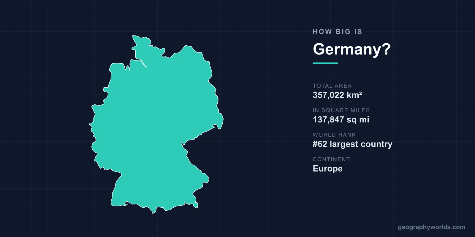
Germany covers a total area of 357,022 km² (137,847 square miles), making it roughly the 63rd-largest country in the world and the seventh-largest in Europe. Though it ranks among the most populous and economically powerful nations on Earth, Germany is geographically modest in size — comparable to the U.S. state of Montana and accounting for only about 0.24% of the planet's total land area.
How Big Is Germany in Numbers?
Germany's 357,022 km² breaks down into roughly 348,672 km² of land and around 8,350 km² of water, including lakes, rivers, and coastal waters. Stretched out, the country reaches about 876 km from its northern coast to its southern Alpine border, and around 640 km from east to west. That compact footprint sits in the heart of Central Europe, which is one reason Germany has long been a crossroads for trade, culture, and travel.
- Total area: 357,022 km² (137,847 sq mi)
- World rank: approximately 63rd largest
- Rank in Europe: 7th largest
- Coastline: about 2,389 km on the North Sea and Baltic Sea
- Highest point: Zugspitze, 2,962 m (9,718 ft)
- Capital: Berlin
How Germany Compares to Other Countries
Size becomes far easier to grasp through comparison. Germany is just over 90% the size of Japan (377,975 km²), and a little larger than the combined area of England and Scotland. Set against its larger European neighbor France (about 551,695 km² for metropolitan France), Germany is roughly two-thirds the size. In the United States, Montana (about 380,800 km²) is the closest single-state match, while Germany is slightly larger than the U.S. state of New Mexico.
Despite this relatively contained area, Germany is the most populous country in the European Union, home to around 84 million people. That gives it a high population density of more than 230 people per km² — a striking contrast to spacious comparisons like Montana, which has fewer than two people per square kilometer.
Germany's Varied Landscape
For a mid-sized country, Germany packs in remarkable geographic variety, generally arranged in three broad bands from north to south:
- The North German Plain: A flat, low-lying region of farmland, heath, and wetlands that runs along the North Sea and Baltic Sea coasts.
- The Central Uplands: A belt of rolling hills, river valleys, and forested ranges such as the Harz Mountains and the famous Black Forest (Schwarzwald) in the southwest.
- The Bavarian Alps: The mountainous south, where the terrain rises sharply along the Austrian border to the Zugspitze, Germany's highest peak at 2,962 m.
Water shapes the country as much as terrain does. The Rhine flows roughly 865 km through Germany and has served as a vital trade artery for some 2,000 years, while the Danube, Elbe, and Main thread through other regions. In the far south, Lake Constance (Bodensee) is shared with Austria and Switzerland, and the dramatic Rhine Gorge is a UNESCO World Heritage Site dotted with castles and vineyards.
Borders and Strategic Position
Germany's size is amplified by its central location: it shares land borders with nine countries — Denmark to the north; Poland and the Czech Republic to the east; Austria and Switzerland to the south; and France, Luxembourg, Belgium, and the Netherlands to the west. That is more neighbors than any other European country, underscoring why Germany has historically been a hub for European commerce and politics.
Roughly one-third of the country — around 114,000 km² — is covered in forest, and a similar large share is given over to agriculture, reflecting how intensively Germany's land is used. For a deeper look at the nation's regions, climate, and culture, see our germany country guide.
Climate Across the Country
Germany's temperate climate adds another layer of regional contrast within its borders. The northwest, exposed to Atlantic moisture, has a milder, wetter maritime climate with cool summers and gentle winters. Move toward the southeast and the weather grows more continental, with colder winters and warmer summers. The Alpine south sees the heaviest snowfall, while the sheltered upper Rhine valley is among the warmest and sunniest areas, supporting vineyards and orchards.
Frequently Asked Questions
Is Germany bigger than the UK?
Yes. Germany (357,022 km²) is noticeably larger than the United Kingdom (about 243,610 km²) — roughly 47% bigger in total area, though Germany also has a considerably larger population.
What U.S. state is closest in size to Germany?
Montana is the nearest match, at about 380,800 km². Germany is slightly smaller than Montana and a bit larger than New Mexico, the fifth-largest U.S. state.
How does Germany's size rank in the world?
Germany is roughly the 63rd-largest country by total area out of nearly 200 nations, placing it in the upper-middle range globally while remaining far smaller than giants like Russia, Canada, or the United States.
What is the highest point in Germany?
The Zugspitze, in the Bavarian Alps on the Austrian border, is Germany's highest mountain at 2,962 m (9,718 ft) above sea level.