
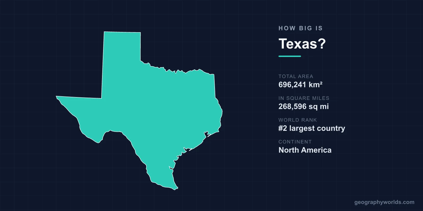
Texas covers 696,241 km² (268,596 sq mi), making it the second-largest state in the United States after Alaska. That single figure makes Texas larger than France, nearly three times the size of the United Kingdom, and bigger than any individual country in the European Union. If Texas were an independent nation, it would rank as roughly the 39th largest country on Earth, slipping comfortably between Zambia and Myanmar.
How Big Is Texas in Numbers?
Texas spans 696,241 square kilometres, equal to 268,596 square miles. That works out to about 7.07% of the total land area of the United States, meaning more than one in every fourteen acres of American soil sits inside the Lone Star State. To picture it another way, you could fit the entire state of New York inside Texas roughly five times over, with land to spare.
The sheer scale becomes obvious behind the wheel. Driving the full width of the state, from Beaumont near the Louisiana line to El Paso on the Rio Grande, takes around twelve hours of nonstop highway driving. Looping the entire state border would consume close to 28 hours. There is even a famous quirk of geography: El Paso sits closer to San Diego, California, than it does to Houston, Texas. In fact, El Paso is nearer to the capital cities of three other states than it is to its own state capital in Austin.
The Dimensions of the State
Texas measures approximately 1,270 km (790 mi) from its northern Panhandle to its southern tip near Brownsville, and about 1,244 km (773 mi) from its eastern pine forests to its western desert. The state's Gulf of Mexico shoreline runs roughly 591 km (367 mi) in a straight measure, but when every bay, inlet, and lagoon is counted, that tidal coastline balloons to around 5,530 km.
Elevation varies dramatically across this expanse. The highest point is Guadalupe Peak, rising to 2,667 m (8,751 ft) in far West Texas, while the Gulf Coast sits essentially at sea level. The mean elevation of the state is about 520 m (1,700 ft), and the land tilts gently upward as you travel from the humid southeast toward the arid, mile-high plateaus of the west. Few US states pack such a vertical range alongside such horizontal breadth.
How Texas Compares to Countries
Size is easiest to grasp through comparison, and Texas offers some striking ones:
- Texas is larger than France (643,801 km²) and larger than Spain (505,990 km²).
- It is roughly 2.85 times the size of the United Kingdom (243,610 km²).
- You could fit Germany and Austria combined inside Texas and still have room left over.
- It is bigger than every country in Western Europe and most of Africa's medium-sized nations.
- It is comfortably larger than Japan (377,975 km²), holding nearly two Japans within its borders.
- A single Texas ranch, the King Ranch in the south, covers 3,340 km² — larger than the whole state of Rhode Island.
This is why the phrase "everything is bigger in Texas" carries genuine truth rather than mere bravado. The state's economy matches its footprint: if Texas were its own nation, its GDP would rank among the world's ten largest, ahead of countries like Italy and Canada.
How Texas Compares to Other US States
Within the Union, Texas is outdone only by Alaska, which sprawls across more than 1.7 million km² — well over twice the size of Texas. After Texas come California (423,967 km²) and Montana (380,831 km²), but the gap is telling: Texas is more than 1.6 times the size of California. At the other end of the scale, you could fit more than 220 copies of Rhode Island, the smallest state, inside Texas. Texas also borders four US states — New Mexico, Oklahoma, Arkansas, and Louisiana — along with the Mexican states across the Rio Grande, giving it the longest stretch of the entire U.S.–Mexico border of any state.
A Landscape as Varied as Its Size
Bigness here means diversity. Texas contains ten distinct ecological regions, ranging from coastal marshes to desert mountains. East Texas holds humid piney woods; the Gulf Coast spreads into prairies and wetlands; the central Hill Country is studded with limestone plateaus and clear rivers; West Texas opens into rolling plains; and the far southwest gives way to the Chihuahuan Desert around Big Bend.
The climate shifts just as widely. Summers regularly exceed 38°C (100°F) across much of the state, yet the Panhandle can drop below freezing and see snow in winter. Standout natural features include the Rio Grande marking the Mexican border, Palo Duro Canyon (the second-largest canyon in the United States), the Guadalupe Mountains, and Padre Island, the world's longest undeveloped barrier island. This span of latitude and terrain is why Texas can grow citrus in the Rio Grande Valley while ski-season cold settles over Amarillo on the same winter day.
Why the Size Matters
Texas's dimensions shape everything from politics to power. The state operates its own electricity grid, separate from the rest of the country, one of only three independent grids in the United States. Its vast open plains make it the nation's leading producer of wind energy, outpacing most countries entirely. With around 127 million acres of agricultural land, Texas also farms more acreage than any other state.
The scale also explains why Texas behaves almost like several states in one. It contains 254 counties — more than any other state — and three of the ten largest cities in the country (Houston, San Antonio, and Dallas). Governing a territory this large means contending with hurricanes on the coast, droughts in the west, and ice storms in the north, sometimes all within a single season.
History reinforces the theme. Texas was an independent republic from 1836 to 1845 before joining the Union, and that legacy of standing alone still colours how Texans view their oversized home. If you enjoy testing your sense of scale and geography, try our interactive quizzes over at our games.
Key Facts
- Total area: 696,241 km² (268,596 sq mi)
- US ranking: 2nd largest state, behind Alaska
- Share of the US: about 7.07% of total land area
- Width: roughly 1,270 km north–south and 1,244 km east–west
- Highest point: Guadalupe Peak, 2,667 m (8,751 ft)
- Coastline: 591 km straight-line; about 5,530 km tidal
- Counties: 254 — the most of any US state
Frequently Asked Questions
Is Texas the biggest state in the US?
No. Texas is the second-largest US state by area at 696,241 km². Alaska is far bigger at over 1.7 million km², making it more than twice the size of Texas.
Is Texas bigger than France?
Yes. Texas covers 696,241 km², while metropolitan France covers about 643,801 km². Texas is also larger than Spain and nearly three times the size of the United Kingdom.
How long does it take to drive across Texas?
Driving from the eastern edge near Beaumont to El Paso in the west takes roughly twelve hours of continuous highway driving, covering more than 1,200 km.
What is the highest point in Texas?
The highest point is Guadalupe Peak in far West Texas, standing 2,667 m (8,751 ft) above sea level within Guadalupe Mountains National Park.
