
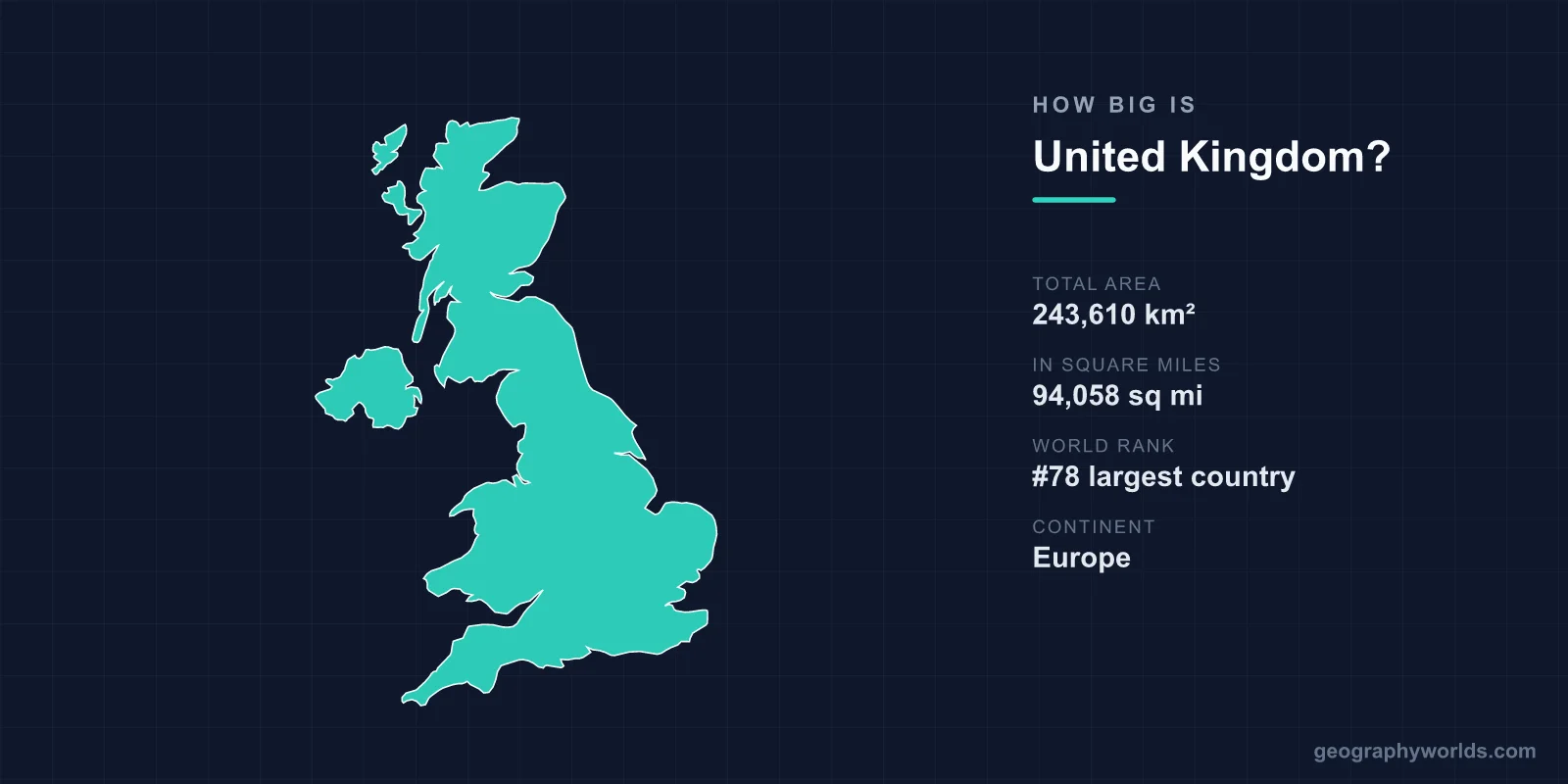
The United Kingdom covers a total area of 243,610 km² (94,058 sq mi), making it the 78th largest country in the world — roughly the size of the U.S. state of Oregon. Despite ranking outside the world's top 75 nations by land area, the UK packs enormous geographic and cultural variety into a relatively compact island setting, from the Scottish Highlands to the chalk cliffs of southern England.
The UK's Size in Numbers
At 243,610 square kilometres, the United Kingdom accounts for just about 0.16% of the Earth's total land area of roughly 149 million km². The country stretches approximately 965 km from the north of Scotland to the south coast of England, and around 500 km at its widest east-to-west point. Because it is made up of islands, no location in the UK is more than about 113 km from the sea — a fact that has shaped the nation's maritime history, climate, and identity.
The UK is also unusual in that it is a union of four constituent countries, each contributing to the total:
- England — the largest, covering roughly 130,000 km²
- Scotland — about 78,000 km², including some 790 islands
- Wales — around 20,800 km²
- Northern Ireland — approximately 14,100 km²
How the UK Compares to Other Countries
Size comparisons help put 243,610 km² into perspective. The UK is about 38% the size of France (640,679 km²) and roughly 64% the size of Japan (377,975 km²). Within North America, it is close in area to the state of Oregon, and a little larger than the entire Korean Peninsula. Yet despite its modest footprint, the UK has a coastline measuring about 12,429 km — longer than the coastlines of France, Spain, or Italy, all of which are far larger countries. The deeply indented shape of Britain's shoreline, with its countless bays, estuaries, and offshore islands, explains this seeming paradox.
Terrain and Geographic Extremes
For a small country, the UK contains remarkable variation in landscape. England is mostly low-lying, with rolling hills and the Pennines forming a north-south "spine" through the centre. Scotland is dominated by rugged highlands and thousands of lochs and islands, while Wales is defined by its mountains and valleys, including Snowdonia. Northern Ireland features gentle drumlins and Lough Neagh, the largest freshwater lake in the British Isles.
The highest point in the entire UK is Ben Nevis in the Scottish Highlands, rising to 1,345 m (4,413 ft) above sea level — the tallest peak in the British Isles. Compared with the Alps or the Rockies this is modest, but the relief is dramatic against the surrounding sea-level terrain. The UK's compact size means you can travel from highland wilderness to bustling capital city in a matter of hours.
Climate Across a Small Footprint
The UK has a temperate maritime climate, with mild winters and cool summers, strongly moderated by the Gulf Stream. Remarkably, Britain sits on roughly the same latitude as Labrador in Canada, yet enjoys far milder temperatures thanks to this warm ocean current. Even within such a small area, rainfall varies dramatically: the western Scottish Highlands can receive up to 3,000 mm of rain a year, while parts of dry East Anglia in the east see under 600 mm. This east-west contrast is one of the clearest examples of how the UK's geography shapes daily life across short distances. For a fuller picture of the nation's regions and culture, see our united kingdom country guide.
Notable Features and Landmarks
The UK's relatively small territory is dense with celebrated geographic and historic sites. These include the Scottish Highlands, the Lake District, the White Cliffs of Dover, Snowdonia in Wales, the Jurassic Coast, and the Giant's Causeway in Northern Ireland — the latter two recognised as UNESCO World Heritage Sites. The Giant's Causeway alone comprises around 40,000 interlocking basalt columns formed by ancient volcanic activity. Britain is also famously dotted with over 1,500 castles, among the highest density of any nation, and home to the 5,000-year-old prehistoric monument of Stonehenge.
Frequently Asked Questions
Is the UK bigger than England?
Yes. England is the largest of the UK's four constituent countries at roughly 130,000 km², but the United Kingdom as a whole — England, Scotland, Wales, and Northern Ireland combined — totals 243,610 km², nearly double England's area alone.
How does the UK compare in size to the United States?
The UK is far smaller than the United States. At 243,610 km², it is comparable to a single U.S. state such as Oregon, and the entire United States (about 9.8 million km²) is roughly 40 times larger.
What is the highest point in the UK?
Ben Nevis in the Scottish Highlands is the UK's highest point at 1,345 m (4,413 ft), making it the tallest mountain in the British Isles.
Why does the UK have such a long coastline?
Because the UK is made up of islands with deeply indented, irregular shorelines full of bays, estuaries, and offshore islands, its coastline stretches about 12,429 km — longer than that of much larger countries like France or Spain.