

Oceania has 14 sovereign countries. It is the smallest continental grouping by population and by land area, and the largest by the share of the planet it covers — its states are scattered across roughly a third of the earth's surface, almost all of it ocean. That contradiction explains nearly everything unusual about the region's map.
Fourteen Countries, Forty-Five Million People
The 14 are Australia, Fiji, Kiribati, the Marshall Islands, Micronesia, Nauru, New Zealand, Palau, Papua New Guinea, Samoa, the Solomon Islands, Tonga, Tuvalu and Vanuatu. All fourteen are UN members, which makes Oceania the only continental grouping with no disputed entries at all — there is no Taiwan here, no Kosovo, no Western Sahara.
Together they hold about 45 million people, fewer than Spain. Remove Australia and New Zealand and the remaining twelve share around 13 million between them, most of that in Papua New Guinea. Oceania's land area is roughly 8.5 million km², which sounds substantial until you notice that Australia is 7.69 million of it.
Melanesia, Micronesia, Polynesia
The three traditional subregions are ethnographic divisions coined by the French explorer Dumont d'Urville in 1832, and they still organise how the Pacific is described.
- Melanesia — Fiji, Papua New Guinea, the Solomon Islands and Vanuatu. The largest islands and the great majority of the non-Australian population. Papua New Guinea alone has around 840 living languages, more than any other country on earth.
- Micronesia — Kiribati, the Marshall Islands, the Federated States of Micronesia, Nauru and Palau. Thousands of very small islands north of the equator, with a combined land area under 3,000 km².
- Polynesia — Samoa, Tonga and Tuvalu among the sovereign states, spread across the vast triangle whose corners are Hawaii, New Zealand and Easter Island.
Australia and New Zealand sit outside all three; Australasia is the usual term for them, and New Zealand is often counted in Polynesia as well on the strength of Māori settlement. The subregions do not divide neatly into the count of 14, which is part of why the region resists tidy summary.
Australia Is Ninety Per Cent of the Land
Australia covers about 7.69 million km² of Oceania's 8.5 million — around 90%. Papua New Guinea, the second largest, is 463,000 km². New Zealand is 268,000. Everything else combined is under 60,000 km², which is less than Croatia.
At the bottom of the range the numbers become genuinely small. Nauru is 21 km² and the third-smallest country in the world. Tuvalu is 26 km². Both are smaller than most capital cities, and Nauru is the only republic on earth with no official capital, government offices simply sitting in the district of Yaren.
This is why a true-scale map of Oceania is close to useless as an illustration: Australia swallows the frame, and twelve sovereign nations render as specks or vanish entirely. It is the one region where flags convey the count better than geography does.
-
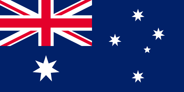 Australia
-
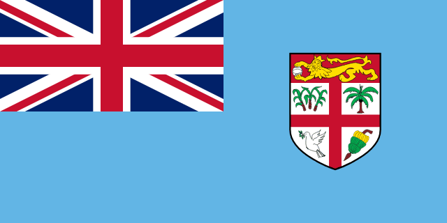 Fiji
Fiji
-
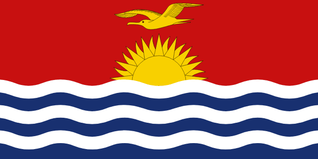 Kiribati
-
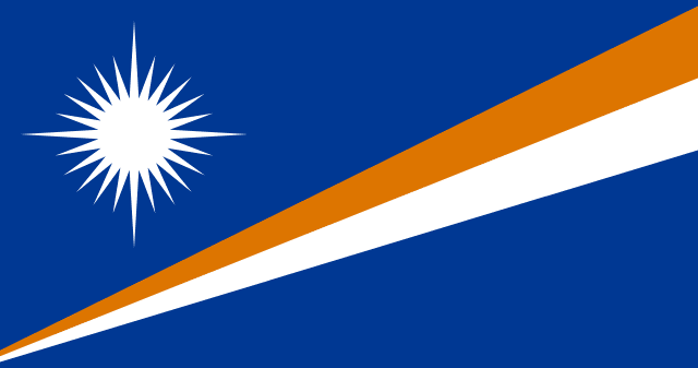 Marshall Islands
-
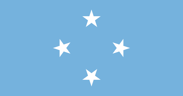 Micronesia
-
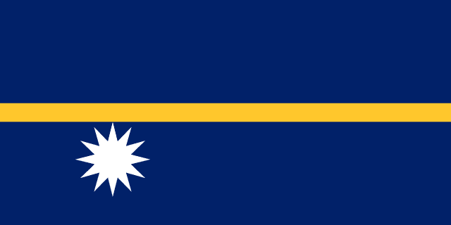 Nauru
Nauru
-
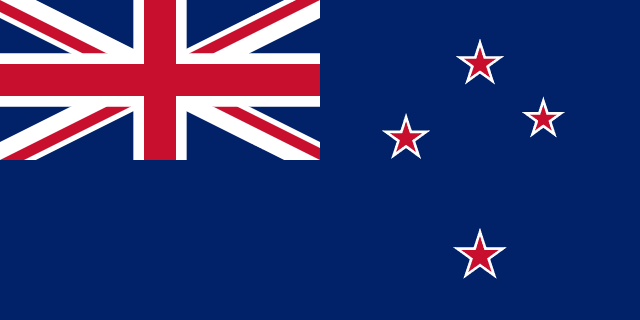 New Zealand
-
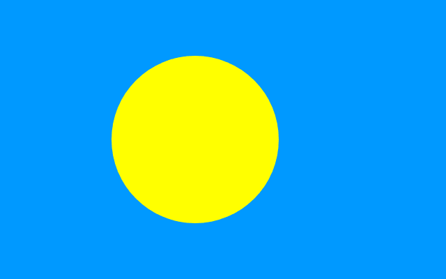 Palau
Palau
-
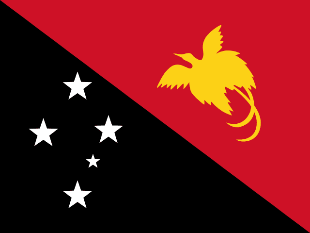 Papua New Guinea
-
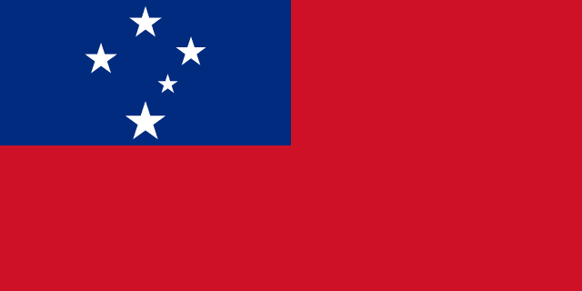 Samoa
Samoa
-
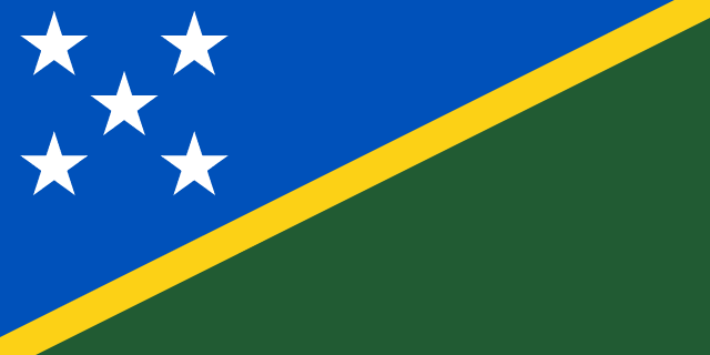 Solomon Islands
-
 Tonga
Tonga
-
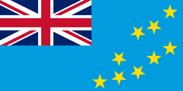 Tuvalu
-
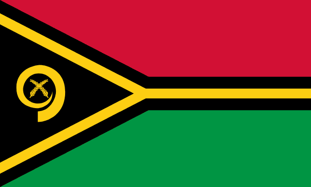 Vanuatu
The Sea Area Is the Real Measure
Land area badly understates these countries, because the Pacific states are defined by water. Kiribati's 811 km² of land is spread across an exclusive economic zone of about 3.5 million km² — comparable to India. Micronesia controls around 2.9 million km² of ocean from 700 km² of land. France, through its Pacific territories, holds one of the largest EEZs in the world.
The consequence is that tuna licensing, seabed minerals and shipping rights matter more to these economies than anything on land. The Nauru Agreement, signed by eight Pacific states in 1982, coordinates access to the world's largest tuna fishery and covers waters producing roughly a quarter of the global catch. For several of these countries, selling fishing days to foreign fleets is the single largest source of government revenue.
From Samoa in 1962 to Palau in 1994
Every one of the 14 became independent within living memory, and the sequence is unusually tidy. Samoa went first on 1 January 1962, the first Pacific island nation to gain independence, having been administered by New Zealand under a League of Nations mandate and then a UN trusteeship.
Nauru followed in 1968, Fiji and Tonga in 1970, Papua New Guinea in 1975, the Solomon Islands and Tuvalu in 1978, Kiribati in 1979 and Vanuatu in 1980 — the last emerging from an Anglo-French condominium under which the islands had two police forces, two currencies and two legal systems simultaneously.
The three Micronesian states came last, because their trusteeship was strategic and the United States was in no hurry. The Marshall Islands and Micronesia joined the UN in 1991, and Palau in 1994 — the final UN trust territory anywhere on earth to become a sovereign state, which effectively closed the twentieth century's decolonisation. Oceania has added no countries in the thirty years since.
Three States in Free Association with Washington
The Marshall Islands, Micronesia and Palau are fully sovereign UN members, but each has a Compact of Free Association with the United States. The US provides economic assistance and takes responsibility for defence; their citizens can live and work in America without a visa; the US retains the right to deny military access to other powers.
The arrangement has roots in the Trust Territory of the Pacific Islands, administered by the US after 1947. It has a darker inheritance too: the United States conducted 67 nuclear tests in the Marshall Islands between 1946 and 1958, including Castle Bravo at Bikini Atoll in 1954, the largest device the US ever detonated. Several atolls remain uninhabitable and compensation is still disputed.
How the Islands Were Settled
The Pacific was the last major region on earth to be reached by people, and it was reached deliberately. Melanesia was settled first, with humans in New Guinea for around 50,000 years — among the oldest continuous occupations anywhere outside Africa. The remote islands came far later.
The Lapita people, identifiable by a distinctive dentate-stamped pottery, moved east out of the Bismarck Archipelago around 3,300 years ago and reached Tonga and Samoa within a few centuries. After a long pause of roughly a thousand years, a second expansion carried Polynesian navigators to the Society Islands, then to Hawaii, Easter Island and finally New Zealand, which Māori settled around 1250–1300 — the last substantial landmass on the planet to be permanently inhabited.
They did it without instruments, using star compasses, swell patterns, cloud formations and bird behaviour, in double-hulled canoes sailing deliberately upwind so that a failed search could be reversed. The 1976 voyage of the Hōkūle'a from Hawaii to Tahiti, navigated without instruments by the Micronesian navigator Mau Piailug, demonstrated that the traditional methods worked and ended a long academic argument about whether the settlement had been accidental drift. It was not.
Why the Territories Are Not Counted
Oceania contains far more political units than countries. New Caledonia and French Polynesia are French overseas collectivities; Guam, American Samoa and the Northern Mariana Islands are US territories; Tokelau, Niue and the Cook Islands are associated with New Zealand; Norfolk Island and the Torres Strait islands belong to Australia; Easter Island is Chilean; Bougainville is an autonomous region of Papua New Guinea.
Niue and the Cook Islands are the most awkward. Both self-govern in free association with New Zealand, conduct their own foreign policy and are treated as states by many countries and UN agencies — but neither has sought UN membership, so neither appears in the 14. Bougainville voted 98% for independence in a 2019 referendum, and if that is implemented Oceania will have a fifteenth country, its first new one since Palau in 1994.
The Countries With a Sea-Level Problem
Several of these states have an average elevation of two metres or less. Tuvalu's highest natural point is about 4.6 m; most of the Marshall Islands and Kiribati sit lower still. For atoll nations the threat is not only inundation but salt intrusion into the freshwater lens that makes the islands habitable at all, which arrives long before the land does.
The responses have been unusually concrete. Kiribati bought roughly 20 km² of land on Vanua Levu in Fiji in 2014 as a contingency for resettlement. Tuvalu began building a digital replica of its territory in 2022 so its statehood could survive the loss of its land. In November 2023 Tuvalu and Australia signed the Falepili Union, which gives 280 Tuvaluans a year a pathway to Australian residency and commits Australia to recognise Tuvalu's continuing statehood regardless of sea level — the first treaty of its kind anywhere.
This matters to the count. International law has no settled answer to whether a state persists when its territory becomes uninhabitable, and the Pacific Islands Forum declared in 2021 that its members' maritime zones would remain fixed even if coastlines move. Oceania is the one region where the number of countries could change for physical rather than political reasons.
Kiribati Sits in All Four Hemispheres
Kiribati is the only country that straddles both the equator and the 180th meridian, placing parts of it in the northern, southern, eastern and western hemispheres at once. That created a practical problem: until 1994 the country ran on two different dates, with the eastern Line Islands a full day behind the capital.
In 1995 Kiribati moved the International Date Line east to enclose all its territory, adding a large eastward bulge that survives on world maps today. The side effect was that Caroline Island became the first inhabited land to see each new day, and it was renamed Millennium Island for the year 2000 — a national holiday created by redrawing a line that runs alongside the equator through the same waters.
Fourteen countries, most of them unfamiliar to most people, is a manageable number to learn — and the flag quiz is the fastest way to find out which of the twelve smaller ones you cannot yet place.