
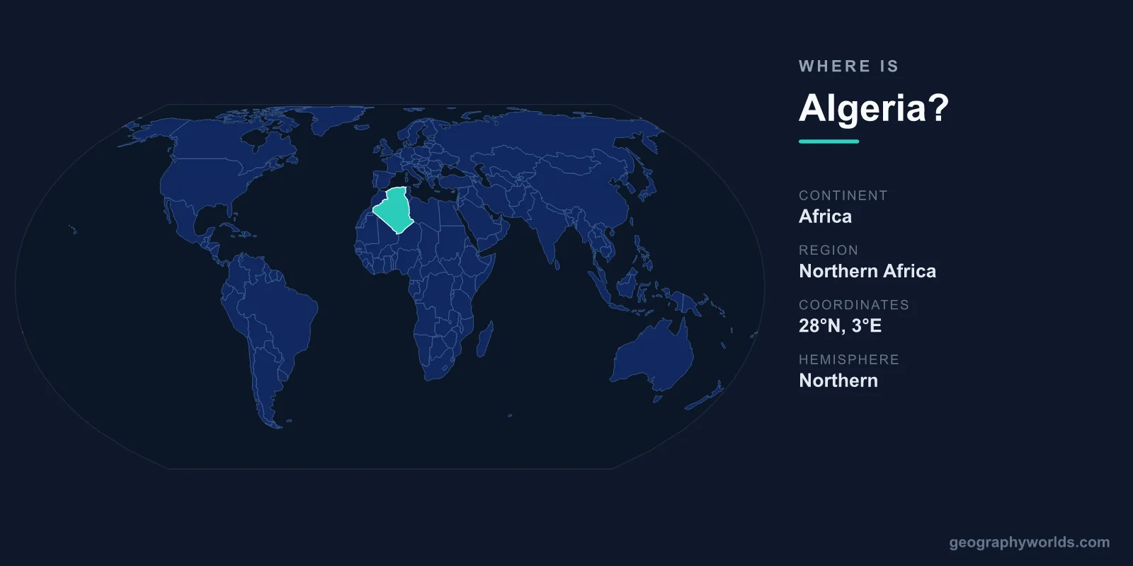
Algeria is located in North Africa, bordering the Mediterranean Sea to the north, and it is the largest country on the African continent, covering 2,381,741 km². Its capital, Algiers, sits on the northern coast, while the vast Sahara Desert fills the country's southern interior. Algeria lies in both the Northern and Eastern Hemispheres, roughly between latitudes 19°N and 37°N.
Where Exactly Is Algeria on the Map?
Algeria occupies the central portion of the Maghreb, the northwestern corner of Africa. To find it on a world map, look along the southern shore of the Mediterranean Sea, directly across the water from Spain, France, and Italy. The Strait of Gibraltar lies just to the country's northwest, separating North Africa from the Iberian Peninsula by only a short stretch of sea.
The country stretches more than 2,000 kilometres from its Mediterranean coastline in the north down into the heart of the Sahara in the south. This north-to-south reach means Algeria spans a remarkable range of landscapes within a single set of borders. Most of its 45 million people live in the narrow, fertile coastal strip and the Tell Atlas mountains, while the enormous desert south remains sparsely populated.
Which Countries Border Algeria?
Algeria shares land borders with seven neighbouring countries and territories, placing it at a major crossroads between the Mediterranean world, the Sahel, and the wider Arab region. Its neighbours are:
- Tunisia and Libya to the east
- Niger and Mali to the southeast and south
- Mauritania and Western Sahara to the southwest
- Morocco to the west
To the north, Algeria has no land border at all — instead it faces roughly 1,600 kilometres of Mediterranean coastline. This combination of a long sea frontier and extensive desert borders has shaped Algeria's history as a hub for trade, migration, and cultural exchange between Africa, Europe, and the Arab world.
What Is Algeria's Landscape Like?
Algeria's geography divides neatly into distinct zones running from the coast inland. In the north, a fertile coastal plain gives way to the Tell Atlas mountains, where most farming and population are concentrated. Beyond these ranges lie the high plateaus and then the Saharan Atlas, which marks the gateway to the desert.
South of the mountains, the Sahara dominates — covering more than 80 percent of Algeria's territory. This is not a flat expanse of sand but a varied terrain of rocky plateaus, gravel plains, and towering dune fields known as ergs. In the far southeast rise the Hoggar Mountains (Ahaggar), a volcanic highland whose peak, Mount Tahat, reaches about 2,908 metres, making it the highest point in the country. The Sahara's scale is part of what makes Algeria larger than all of Western Europe combined.
Algeria's Position in Africa and the World
Since the partition of Sudan in 2011, Algeria has been the largest country in Africa by area and ranks among the ten largest countries in the world. It belongs to the African Union, the Arab League, and the Maghreb region alongside Morocco, Tunisia, Libya, and Mauritania.
The capital, Algiers, is the political and economic centre and home to the famous Casbah of Algiers, a UNESCO World Heritage site whose layered Ottoman-era architecture overlooks the bay. Other major cities — Oran, Constantine, and Annaba — also lie along or near the northern coast, reinforcing how heavily Algerian life is oriented toward the Mediterranean. The country operates as a presidential republic, uses the Algerian dinar (DZD), and counts Arabic and Berber (Tamazight) as its official languages, with Islam the predominant religion. For a deeper look at the nation's history, culture, and travel highlights, see our algeria country guide.
Frequently Asked Questions
What continent is Algeria in?
Algeria is in Africa, specifically the North Africa region. It lies along the Mediterranean coast and extends deep into the Sahara, sharing the Maghreb with Morocco, Tunisia, and Libya.
Is Algeria in the Middle East or Africa?
Algeria is geographically in Africa, not the Middle East. However, because of its Arabic language, Islamic culture, and membership in the Arab League, it is often grouped within the broader "MENA" (Middle East and North Africa) region.
What is the capital of Algeria?
The capital of Algeria is Algiers, a port city on the Mediterranean coast in the north of the country. It is Algeria's largest city and the centre of its government and economy.
How big is Algeria compared to other countries?
At 2,381,741 km², Algeria is the largest country in Africa and the tenth largest in the world. It is bigger than all of Western Europe combined and roughly three and a half times the size of Texas.