
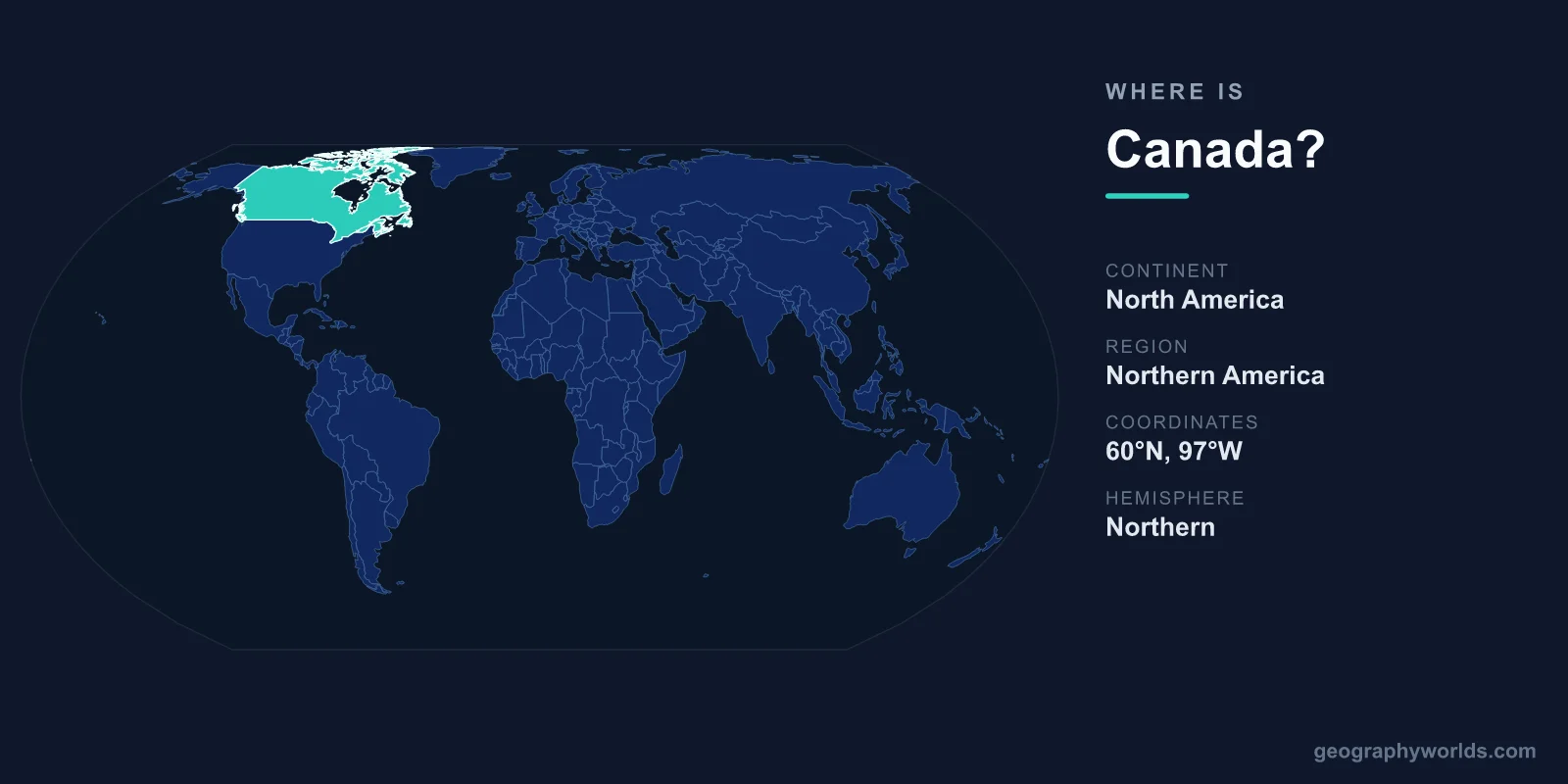
Canada is located in the northern part of the continent of North America, occupying most of the landmass above the United States and stretching from the Atlantic Ocean in the east to the Pacific Ocean in the west and north to the Arctic Ocean. Its capital is Ottawa, and at 9,984,670 km² it is the second-largest country in the world by total area.
Where Canada Sits on the Globe
Canada lies entirely within the Northern Hemisphere and almost entirely within the Western Hemisphere. It extends from roughly 41°N at its southernmost point, Middle Island in Lake Erie, to about 83°N in the high Arctic, and reaches across nearly half the planet's longitude. From the easternmost tip of Newfoundland to the Yukon in the west, the country spans six full time zones, so when the morning sun rises over the Atlantic provinces it is still the middle of the night on the Pacific side.
This makes Canada the northernmost large nation on Earth, with a substantial portion of its territory lying inside the Arctic Circle. Despite covering the upper two-fifths of North America, the country is sparsely populated: most Canadians live within about 160 kilometres of the U.S. border, where the climate is milder and the major cities are concentrated.
Borders, Coastline, and Surrounding Oceans
Canada shares a land border with only one country, the United States. At roughly 8,890 kilometres it is the longest international land border in the world, and it includes both the boundary with the contiguous United States to the south and the Alaska–Yukon border to the northwest.
- Atlantic Ocean – the eastern coast, including the Gulf of St. Lawrence and the Maritime provinces.
- Pacific Ocean – the western coast along British Columbia.
- Arctic Ocean – the northern frontier and the islands of the Arctic Archipelago.
Bordered by three oceans, Canada has the longest coastline of any country on Earth, measuring over 200,000 kilometres when its tens of thousands of islands are included. To the northeast it faces Greenland across the Davis Strait and Baffin Bay, though no land connects the two.
Provinces, Territories, and the Capital
Canada is divided into ten provinces and three territories. From west to east, the provinces are British Columbia, Alberta, Saskatchewan, Manitoba, Ontario, Quebec, New Brunswick, Nova Scotia, Prince Edward Island, and Newfoundland and Labrador. The three northern territories, Yukon, the Northwest Territories, and Nunavut, cover the vast and thinly settled Arctic.
The capital, Ottawa, sits in southeastern Ontario on the Ottawa River, directly across from the province of Quebec. While Ottawa is the seat of government, the largest urban centres are Toronto, Montreal, Vancouver, and Calgary. Most of these cluster in the populous southern corridor between the Great Lakes and the St. Lawrence River or along the Pacific coast. For a fuller picture of the country's regions and culture, see our canada country guide.
Landscape and Natural Features
Because of its scale, Canada contains an extraordinary range of terrain. The Rocky Mountains rise dramatically along the border between British Columbia and Alberta, the flat Prairie grasslands fill the centre, and the ancient rock of the Canadian Shield wraps around Hudson Bay. The far north gives way to tundra, permafrost, and glaciers in the Arctic Archipelago.
Canada is famously rich in fresh water, holding roughly a fifth of the world's supply and more lakes than any other nation. Iconic landmarks include Niagara Falls on the Ontario–New York border, the turquoise glacial lakes of Banff National Park in the Rockies, and the rugged Atlantic coastline of the Maritime provinces. Four of the five Great Lakes are shared with the United States, forming part of the natural boundary across the southeast.
People, Climate, and Government
Canada is home to roughly 40 million people, making it one of the most sparsely populated large countries, with fewer than four people per square kilometre on average. It has two official languages, English and French, with French especially prominent in Quebec. The national currency is the Canadian Dollar (CAD), and the country operates as a federal parliamentary constitutional monarchy. Climates range from the mild, rainy Pacific coast around Vancouver to the bitterly cold Arctic north and the humid continental summers of southern Ontario and Quebec.
Frequently Asked Questions
What continent is Canada on?
Canada is on the continent of North America. It occupies the northern portion of the continent, sitting directly above the United States and reaching up to the Arctic Ocean.
How big is Canada compared to other countries?
At 9,984,670 km², Canada is the second-largest country in the world by total area, after Russia. It is roughly the size of the entire European continent and slightly larger than the United States in total area.
Which countries border Canada?
Canada shares a land border with only one country, the United States. This boundary, the longest international border in the world, runs along the southern edge of the country and again between Yukon and Alaska in the northwest.
What is the capital of Canada?
The capital of Canada is Ottawa, located in the province of Ontario on the Ottawa River. The country's largest city, however, is Toronto.