
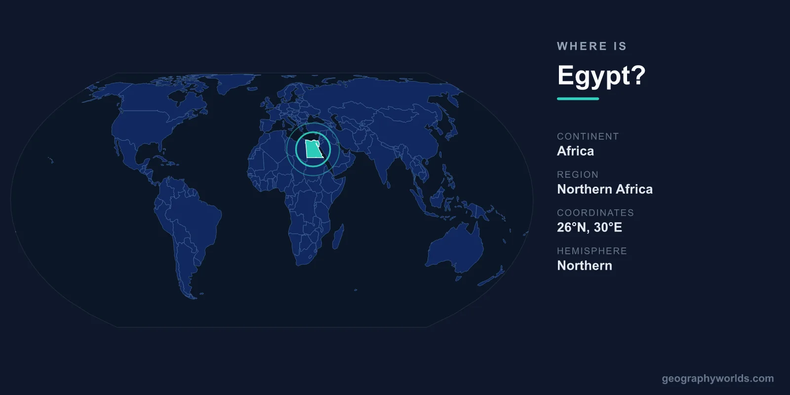
Egypt is located in the northeastern corner of Africa, straddling two continents: most of the country lies in North Africa, while the Sinai Peninsula reaches across the Suez Canal into southwestern Asia. This makes Egypt a transcontinental nation that bridges the African and Asian landmasses. Its capital, Cairo, sits in the north along the Nile, and the country covers roughly 1,002,450 km² (about 387,000 sq mi), making it one of the largest nations in the region.
Where Egypt Sits on the Map
Egypt occupies the meeting point of Africa, the Middle East, and the Mediterranean world. It lies almost entirely in the Northern Hemisphere and the Eastern Hemisphere, between roughly 22°N and 32°N latitude and 25°E and 36°E longitude. To the north stretches the Mediterranean Sea, while the Red Sea forms its eastern flank. Between them, the Suez Canal slices through Egyptian territory, connecting the two seas and serving as one of the busiest and most strategically vital waterways on Earth.
This positioning has shaped Egypt's identity for millennia. Sitting at the crossroads of three continents, it has long been a hub for trade caravans, maritime shipping, and the movement of peoples and ideas between Africa, Asia, and Europe. The country is generally classified as part of both North Africa and the wider Middle East, reflecting its dual geographic and cultural character.
Countries That Border Egypt
Egypt shares land borders with several neighbors, each meeting it across desert frontiers:
- Libya — to the west, across a long desert boundary in the Sahara.
- Sudan — to the south, including the disputed Hala'ib Triangle region.
- Israel — to the northeast, along the Sinai Peninsula.
- The Gaza Strip (Palestine) — a short border at the northeastern edge of Sinai.
Beyond its land borders, Egypt faces Saudi Arabia and Jordan across the narrow Gulf of Aqaba to the east. Its Mediterranean and Red Sea coastlines give it maritime access in nearly every direction, reinforcing its role as a regional gateway between continents.
The Nile and Egypt's Inhabited Heartland
Although Egypt is geographically vast, the overwhelming majority of its people live on a remarkably small slice of land. More than 90 percent of the country is desert, part of the Sahara and the Eastern (Arabian) Desert. The Nile River, flowing south to north before fanning out into a broad delta on the Mediterranean coast, is the green lifeline that makes settlement possible.
Nearly all of Egypt's roughly 105 million inhabitants are concentrated along the Nile Valley and the fertile delta, an area making up just a few percent of the national territory. Cairo, the capital and largest city, sprawls near the apex of the delta and is one of Africa's biggest metropolitan areas. Other major cities include Alexandria on the Mediterranean coast and Luxor and Aswan further up the river. As the ancient Greek historian Herodotus observed, Egypt is truly "the gift of the Nile."
Landscapes and Famous Landmarks
Egypt's terrain ranges from low-lying coastal plains to rugged mountains. The Sinai Peninsula is home to some of the country's highest peaks, including Mount Catherine, the tallest point in Egypt. The Western Desert holds vast sand seas and scattered oases such as Siwa and Bahariya, while the Eastern Desert features rocky highlands rolling down to the Red Sea. In the far south, Lake Nasser — one of the world's largest reservoirs — sits behind the Aswan High Dam.
The country's most famous landmark, the Great Pyramids of Giza, stands on the desert plateau just outside Cairo, alongside the Great Sphinx. Together with the temples of Luxor, the Valley of the Kings, and the coral reefs of the Red Sea, these sites make Egypt one of the world's premier travel and archaeological destinations. To explore more about the nation's regions, climate, and culture, see our egypt country guide.
People, Language, and Government
The official language of Egypt is Arabic, spoken in a distinctive Egyptian dialect widely understood across the Arab world thanks to the country's influential film and media industries. The dominant religion is Islam, primarily Sunni, with a significant Coptic Christian minority. Egypt is governed as a presidential republic, and its national currency is the Egyptian pound (EGP). This blend of geography, language, and faith gives Egypt a culture that feels at once African, Mediterranean, and Middle Eastern.
Frequently Asked Questions
Is Egypt in Africa or Asia?
Egypt is primarily in Africa, but it is transcontinental. The Sinai Peninsula, east of the Suez Canal, lies in Asia, so Egypt spans both continents. The bulk of its land and population, however, is on the African side.
What continent and region is Egypt in?
Egypt is mainly on the continent of Africa, in its northeastern corner. It is often grouped with both North Africa and the Middle East because of its geography and cultural ties.
What are the neighboring countries of Egypt?
Egypt borders Libya to the west, Sudan to the south, and Israel and the Gaza Strip to the northeast. It also faces Saudi Arabia and Jordan across the Gulf of Aqaba.
What is the capital of Egypt and where is it?
The capital is Cairo, located in northern Egypt near the point where the Nile River spreads into its delta before reaching the Mediterranean Sea. It is the largest city in both Egypt and the Arab world.