
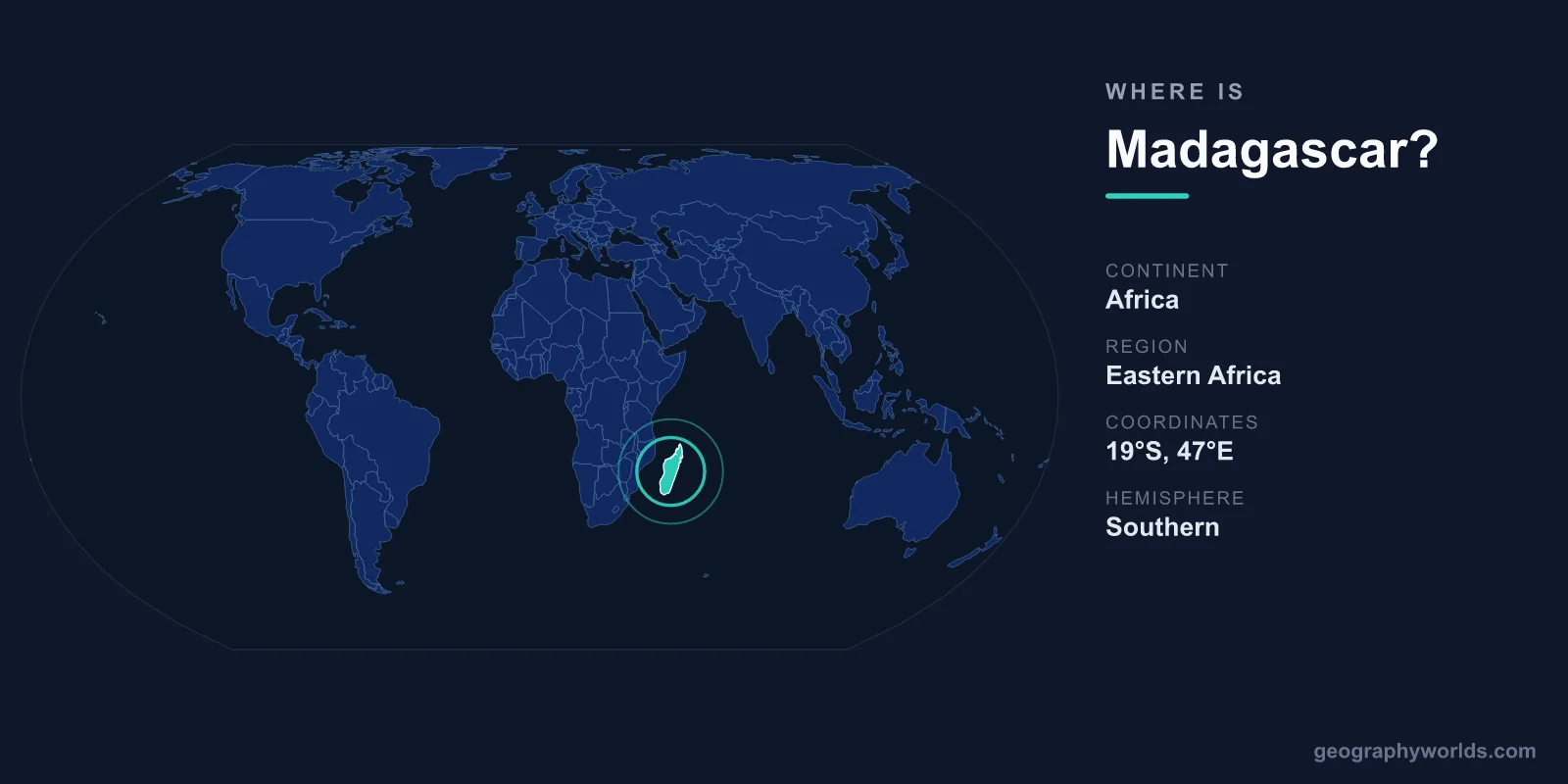
Madagascar is located in the Indian Ocean off the southeastern coast of Africa, separated from the African mainland by the Mozambique Channel. It is the world's fourth-largest island, covering roughly 587,041 square kilometres, with its capital, Antananarivo, sitting in the central highlands. Politically part of Africa, the country lies almost entirely within the Southern Hemisphere and the Eastern Hemisphere.
Where Madagascar Sits on the Map
Madagascar lies between approximately 12 degrees and 26 degrees south latitude, and 43 degrees to 50 degrees east longitude. The Tropic of Capricorn cuts across the southern third of the island, meaning most of the country sits within the tropics. To the west, the Mozambique Channel — about 400 kilometres wide at its narrowest point — separates Madagascar from the East African nation of Mozambique. To the north and east stretches the open Indian Ocean.
The island is long and relatively narrow, running roughly 1,580 kilometres from north to south and about 580 kilometres at its widest. If you picture the world map, Madagascar hangs like a giant teardrop just off Africa's lower-right flank, roughly level with countries such as Zimbabwe and Mozambique on the mainland.
An Island Nation With No Land Borders
Because Madagascar is an island, it shares no land borders with any country. Its closest neighbours are reached only by sea or air. The nearest mainland country is Mozambique, across the Mozambique Channel to the west. Several smaller island nations and territories lie nearby in the Indian Ocean, including:
- Comoros and the French territory of Mayotte, to the northwest
- Mauritius and the French island of Réunion, to the east
- Seychelles, far to the northeast
This isolation is more than a map curiosity. Having drifted away from the African and Indian landmasses tens of millions of years ago, Madagascar evolved in near-total separation, which explains why so much of its wildlife is found nowhere else on Earth.
Landscapes From Coast to Highland
Despite its modest width, Madagascar packs in a remarkable range of terrain. A central spine of highlands and plateaus runs down the island, reaching elevations above 2,800 metres at peaks such as Maromokotro, the country's highest point. Antananarivo itself sits on these highlands at around 1,280 metres, giving the capital a cooler, more temperate climate than the coasts.
East of the highlands, a steep escarpment drops to a narrow belt of humid rainforest along the Indian Ocean coast, one of the wettest parts of the country. To the west and south, the land flattens into drier savanna, deciduous forest, and ultimately the arid, spiny scrubland of the far south. This is the setting for the famous Avenue of the Baobabs near Morondava, where towering, ancient baobab trees line a dirt road in one of the island's most photographed scenes.
The surrounding waters add another dimension. Coral reefs, mangroves, and small offshore islands such as Nosy Be in the northwest support fishing communities and a growing tourism industry. With its entire perimeter being coastline, Madagascar has a strong maritime character shaped by centuries of trade and seafaring.
People, Language, and Identity
Madagascar is home to roughly 29 million people, the great majority of whom are ethnically Malagasy — a population with both Austronesian and African roots, a legacy of settlers who arrived from Southeast Asia and the African mainland over a thousand years ago. The two official languages are Malagasy, an Austronesian language related to tongues spoken in Indonesia, and French, a legacy of the colonial period.
The country is a semi-presidential republic, and its currency is the Malagasy ariary (MGA), one of the few currencies in the world not based on a decimal system of tens. Christianity and traditional ancestral beliefs are both widely practised, often side by side. For a deeper look at the island's history, regions, and travel highlights, see our madagascar country guide.
Frequently Asked Questions
What continent is Madagascar part of?
Madagascar is part of Africa. Although it is separated from the mainland by the Mozambique Channel, it is considered an African nation and is a member of regional bodies such as the African Union.
How far is Madagascar from mainland Africa?
The Mozambique Channel separating Madagascar from the African coast is roughly 400 kilometres across at its narrowest point, widening to around 1,000 kilometres elsewhere.
Is Madagascar the largest island in the world?
No. Madagascar is the world's fourth-largest island, after Greenland, New Guinea, and Borneo. It covers about 587,041 square kilometres, making it comparable in size to France or mainland Spain.
What is the capital of Madagascar?
The capital is Antananarivo, located in the central highlands at about 1,280 metres above sea level. It is the country's largest city and its political and economic centre.