
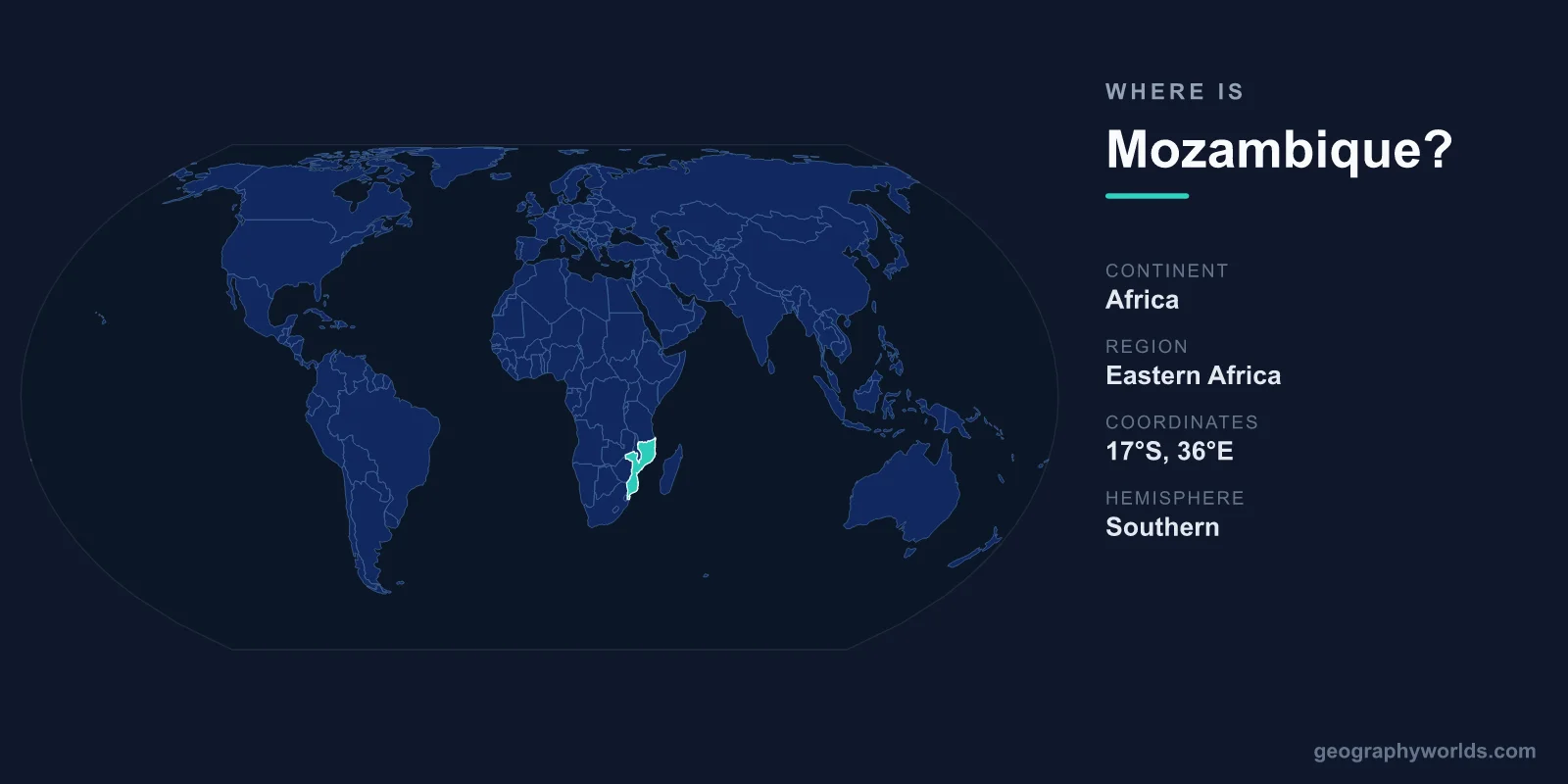
Mozambique is located in southeastern Africa, stretching along roughly 2,500 kilometres of Indian Ocean coastline directly across the Mozambique Channel from the island of Madagascar. It sits in both the Southern and Eastern Hemispheres, with its capital, Maputo, anchored in the far south near the borders with South Africa and Eswatini. Covering about 801,590 square kilometres, Mozambique is one of the larger nations of the region and a key gateway between the African interior and the sea.
Where Exactly Is Mozambique on the Map?
Mozambique lies on the eastern, or Indian Ocean, side of southern Africa. If you trace the African continent's southeastern shoulder downward toward the Cape, Mozambique forms a long, slightly curved ribbon of coast running roughly north to south. The country spans from around 10 degrees south latitude near Tanzania to about 27 degrees south near South Africa, and from roughly 30 to 41 degrees east longitude.
Its most distinctive map feature is its shape: Mozambique is unusually elongated, far longer than it is wide. The narrow southern end widens dramatically in the centre and north, where the Zambezi River cuts across the country and empties into the Indian Ocean. Directly offshore to the east lies Madagascar, separated from the mainland by the warm, wide Mozambique Channel.
Which Countries Border Mozambique?
Mozambique shares land borders with six countries, which is part of why it has long served as a trade and transit corridor for landlocked neighbours seeking access to the sea. Its borders are:
- Tanzania – to the north, separated largely by the Ruvuma River
- Malawi – to the northwest, wrapping around the southern shore of Lake Malawi
- Zambia – to the west, in the country's interior
- Zimbabwe – to the west, along the central highlands
- South Africa – to the southwest and south
- Eswatini – to the south, a short border near Maputo
To the east, the entire length of the country faces the Indian Ocean. This combination of an extensive coastline and access to six interior nations makes Mozambique strategically important: its ports at Maputo, Beira, and Nacala handle goods bound for Zimbabwe, Zambia, Malawi, and beyond.
The Coastline and the Mozambique Channel
Few countries are defined by the sea as thoroughly as Mozambique. Its coastline of roughly 2,500 kilometres is one of the longest on the eastern side of Africa, fringed by coral reefs, mangrove estuaries, and long stretches of white sand. The warm currents of the Mozambique Channel support some of the richest marine biodiversity in the Indian Ocean, including dugongs, whale sharks, and extensive coral systems around the Bazaruto and Quirimbas archipelagos.
The historic Island of Mozambique, off the northern coast, gave the entire country its name. Once the capital of Portuguese East Africa and a hub of the Indian Ocean trade routes linking Africa, Arabia, and Asia, it is today a UNESCO World Heritage Site prized for its blend of Swahili, Portuguese, and Indian architecture.
Landscape and Geography Inland
Moving away from the coast, Mozambique's terrain rises in stages. Broad coastal lowlands give way to plateaus and, in the west and north, to highlands and mountain ranges near the borders with Zimbabwe and Malawi. The country's highest point, Monte Binga, rises above 2,400 metres along the Zimbabwean frontier.
The defining inland feature is the Zambezi River, southern Africa's fourth-longest river, which flows across central Mozambique before reaching the sea. Its waters feed the vast Cahora Bassa reservoir, one of the largest artificial lakes on the continent and a major source of hydroelectric power. Because Mozambique stretches across so many degrees of latitude, it spans several climate zones, from tropical in the north to subtropical in the south, with a distinct wet season from roughly November to April.
Frequently Asked Questions
What continent is Mozambique in?
Mozambique is in Africa, specifically in the southeastern part of the continent. It faces the Indian Ocean and lies in the Southern and Eastern Hemispheres.
What is the capital of Mozambique?
The capital is Maputo, located in the far south of the country near the borders with South Africa and Eswatini. It is also the largest city and the main commercial and political centre.
Is Mozambique near Madagascar?
Yes. Mozambique and Madagascar face each other across the Mozambique Channel, a stretch of the Indian Ocean roughly 400 kilometres wide at its narrowest point.
How big is Mozambique?
Mozambique covers about 801,590 square kilometres, making it slightly larger than France and one of the larger countries in southern Africa. You can learn more in our mozambique country guide.