
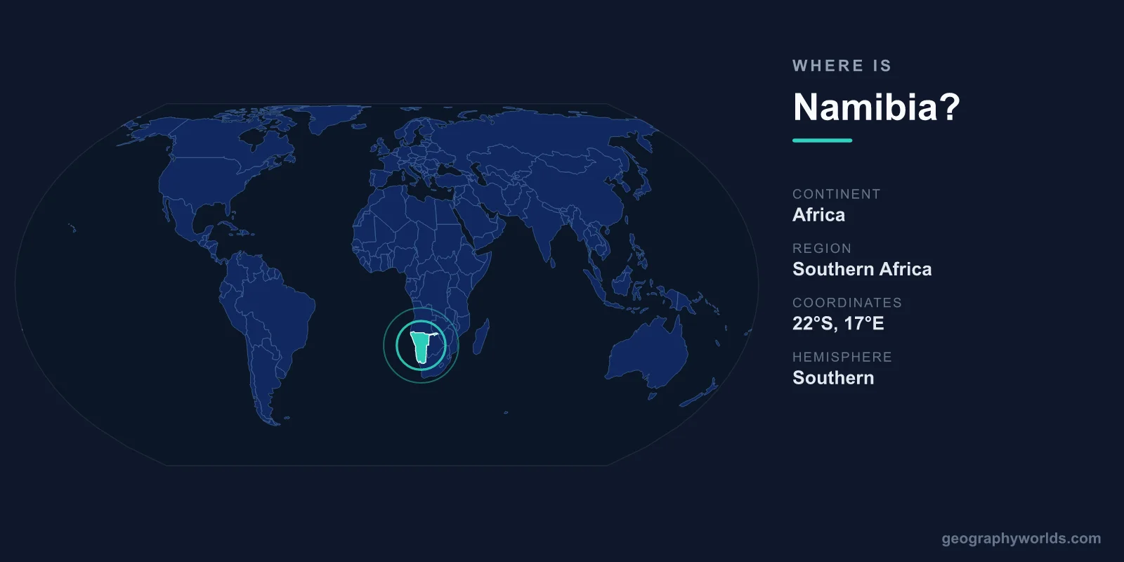
Namibia is located in southwestern Africa, sitting on the Atlantic Ocean coast just north of South Africa. It is bordered by Angola to the north, Zambia and Botswana to the east, South Africa to the south, and the Atlantic Ocean to the west — with its capital, Windhoek, positioned almost at the country's geographic center at 22.57° S, 17.08° E.
Spanning 825,615 km² but home to only around 2.6 million people, Namibia is one of the emptiest countries on Earth — second only to Mongolia in how sparsely populated it is. Its position on the dry southwestern edge of the African continent shapes everything about it, from its world-famous deserts to its long, fog-bound Atlantic shoreline.
Where Namibia sits on the map
Namibia occupies the southwestern corner of Africa, entirely within the Southern and Eastern hemispheres. The country stretches roughly from 17° S near the Angolan border in the north down to nearly 29° S at the Orange River in the south, giving it a north-south reach of well over 1,300 kilometres. Its western edge is defined by 1,572 km of Atlantic coastline, while its eastern reach pushes deep into the Kalahari basin.
- Continent: Africa (southwestern region)
- Region: Southern Africa, member of the Southern African Development Community (SADC)
- Capital coordinates (Windhoek): 22.57° S, 17.08° E
- Time zone: Central Africa Time, UTC+2 (no daylight saving since 2017)
- Coastline: ~1,572 km along the Atlantic Ocean
Because Windhoek sits in the central highlands at about 1,700 m elevation, the capital enjoys a cooler, drier climate than its tropical latitude might suggest. For more on the country as a whole, see our namibia country guide.
Which countries border Namibia
Namibia has four land neighbours plus its long ocean frontier, and each border has its own character:
- Angola (north): roughly 1,427 km, much of it following the Kunene and Okavango rivers. The communities on either side share deep ethnic and linguistic ties.
- Botswana (east): about 1,544 km, running through the Kalahari and along the eastern arm known as the Caprivi Strip.
- Zambia (northeast): a very short border of only a couple of hundred metres where the Caprivi Strip meets the Zambezi River near the four-corners region of Kazungula.
- South Africa (south): around 1,005 km, following the Orange River for most of its course.
- Atlantic Ocean (west): the entire western flank, including the eerie Skeleton Coast.
This places Namibia firmly between the deserts of South Africa to the south and the wetter tropics of Angola to the north, with the vast Kalahari interior shared with Botswana to the east.
The Caprivi Strip: Namibia's strange eastern finger
One of the most unusual features on any map of Africa is the thin panhandle of land extending east from Namibia's main body. The Caprivi Strip — officially renamed the Zambezi Region in 2013 — is around 450 km long but barely 32 km wide, separating Botswana from Angola and Zambia. It exists because of a 19th-century colonial bargain: Imperial Germany, which then ruled the territory as German South-West Africa, wanted overland access to the Zambezi River to link its colony with German East Africa. The 1890 Heligoland–Zanzibar Treaty with Britain handed Germany this corridor, named after Chancellor Leo von Caprivi. The Zambezi proved unnavigable from this point (Victoria Falls blocks the way), so the strip never served its purpose — yet it remains part of Namibia today and gives the country its only touch with the Zambezi.
The deserts and landscapes that define its location
Namibia's place on the arid western coast of Africa makes it the driest country in sub-Saharan Africa, and its terrain reflects that:
- Namib Desert: widely regarded as the world's oldest desert, running about 2,000 km along the Atlantic coast. Its towering red dunes at Sossusvlei rank among the tallest on the planet.
- Skeleton Coast: a desolate northern shoreline named for the whale bones and the wrecks of more than a thousand ships lost in its dense coastal fog.
- Fish River Canyon: in the south, one of the largest canyons in the world, up to 550 m deep.
- Etosha Pan: a vast salt flat in the north, large enough to be seen from space, anchoring one of Africa's great wildlife reserves.
- Brandberg Mountain: Namibia's highest point at 2,606 m, an isolated granite massif.
The eastern interior fades into the Kalahari, a semi-arid savanna shared with Botswana, while only the far northeastern Zambezi Region receives reliable rainfall.
Common mix-ups about Namibia's location
Namibia is frequently confused with similar-sounding places. It is not "Nambia," a non-existent country made famous by a misstatement in 2017. It is also distinct from Zambia, a landlocked nation to the northeast that it touches only at the tip of the Caprivi Strip. And despite the name, it is not part of South Africa — though South Africa governed it until 1990, the two are now fully separate sovereign states.
Frequently Asked Questions
What continent is Namibia in?
Namibia is in Africa, specifically the southwestern part of the continent within the Southern Africa region. It belongs to the African Union, the Southern African Development Community, and the Commonwealth of Nations.
Is Namibia part of South Africa?
No. Namibia is an independent country directly north of South Africa. It was administered by South Africa from 1915 until it gained full independence on 21 March 1990, and the two are now separate states — though the Namibian dollar is pegged 1:1 to the South African rand.
What ocean is Namibia on?
Namibia lies on the Atlantic Ocean, with roughly 1,572 km of coastline along its western edge, including the famously hazardous Skeleton Coast and the major port of Walvis Bay.
Where is the capital of Namibia located?
The capital, Windhoek, sits in the central highlands at about 1,700 m elevation, almost exactly at the country's geographic centre, at coordinates 22.57° S, 17.08° E.